16962 State Highway 27 Onamia, MN 56359
Estimated Value: $237,000 - $339,000
--
Bed
--
Bath
912
Sq Ft
$332/Sq Ft
Est. Value
About This Home
This home is located at 16962 State Highway 27, Onamia, MN 56359 and is currently estimated at $302,438, approximately $331 per square foot. 16962 State Highway 27 is a home with nearby schools including Onamia Secondary School.
Ownership History
Date
Name
Owned For
Owner Type
Purchase Details
Closed on
Feb 10, 2025
Sold by
Smith David and Smith Shannon
Bought by
Smith David and Smith Shannon
Current Estimated Value
Home Financials for this Owner
Home Financials are based on the most recent Mortgage that was taken out on this home.
Original Mortgage
$316,696
Outstanding Balance
$314,821
Interest Rate
6.93%
Mortgage Type
FHA
Estimated Equity
-$12,383
Purchase Details
Closed on
Oct 14, 2022
Sold by
Benson Brian and Benson Becky
Bought by
Smith David and Smith Shannon
Home Financials for this Owner
Home Financials are based on the most recent Mortgage that was taken out on this home.
Original Mortgage
$214,000
Interest Rate
6.7%
Mortgage Type
New Conventional
Purchase Details
Closed on
Dec 7, 2006
Sold by
Gingery Roger J
Bought by
Benson Brian and Benson Becky
Home Financials for this Owner
Home Financials are based on the most recent Mortgage that was taken out on this home.
Original Mortgage
$113,950
Interest Rate
8.64%
Mortgage Type
Adjustable Rate Mortgage/ARM
Create a Home Valuation Report for This Property
The Home Valuation Report is an in-depth analysis detailing your home's value as well as a comparison with similar homes in the area
Home Values in the Area
Average Home Value in this Area
Purchase History
| Date | Buyer | Sale Price | Title Company |
|---|---|---|---|
| Smith David | $500 | Service Link | |
| Smith David | $231,000 | All American Title Company | |
| Benson Brian | $141,000 | All American Title |
Source: Public Records
Mortgage History
| Date | Status | Borrower | Loan Amount |
|---|---|---|---|
| Open | Smith David | $316,696 | |
| Previous Owner | Smith David | $214,000 | |
| Previous Owner | Benson Brian | $113,950 |
Source: Public Records
Tax History Compared to Growth
Tax History
| Year | Tax Paid | Tax Assessment Tax Assessment Total Assessment is a certain percentage of the fair market value that is determined by local assessors to be the total taxable value of land and additions on the property. | Land | Improvement |
|---|---|---|---|---|
| 2025 | $3,158 | $305,800 | $128,400 | $177,400 |
| 2024 | $3,164 | $338,400 | $118,300 | $220,100 |
| 2023 | $2,856 | $343,000 | $109,800 | $233,200 |
| 2022 | $2,702 | $306,700 | $93,000 | $213,700 |
| 2021 | $2,030 | $245,500 | $83,000 | $162,500 |
| 2020 | $1,910 | $196,500 | $83,000 | $113,500 |
| 2019 | $1,894 | $174,700 | $76,500 | $98,200 |
| 2018 | $1,602 | $176,400 | $76,500 | $99,900 |
| 2017 | $1,888 | $153,600 | $71,500 | $82,100 |
| 2016 | $1,756 | $0 | $0 | $0 |
| 2015 | $1,668 | $0 | $0 | $0 |
| 2014 | $1,668 | $0 | $0 | $0 |
Source: Public Records
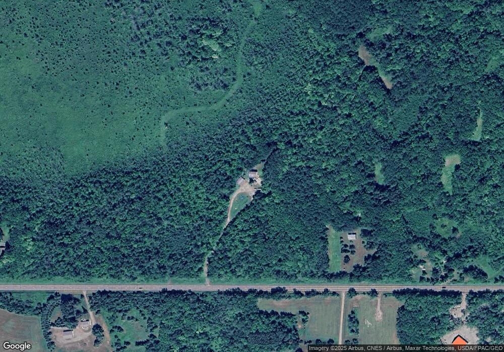
Map
Nearby Homes
- XXXXX 360th St
- TBD 350th St
- 15479 330th St
- 307 Deerwood Ln S
- TBD Tamarac Rd
- 203 Birch St
- XXX 330th St
- 491 Roosevelt Rd
- TBD-2 330th St
- TBD-1 330th St
- 15127 Twilight Rd
- XXX State Hwy 169
- 14801 Twilight Rd
- 14767 Twilight Rd
- 15379 Twilight Rd
- 15427 Twilight Rd
- 15453 Twilight Rd
- 15903 Twilight Rd
- 15467 Twilight Rd
- 16099 Twilight Rd
- 16823 State Highway 27
- 17075 State Highway 27
- 17122 State Highway 27
- 16546 State Highway 27
- 17164 State Highway 27
- 17164 State Highway 27
- XXXX Hwy 27
- 17276 State Highway 27
- XXX Highway 27
- 16142 State Highway 27
- 17527 State Highway 27
- xxx 360 St
- 16582 360th St
- 16579 360th St
- 16052 State Highway 27
- xxx Central Ave NE
- 16051 State Highway 27