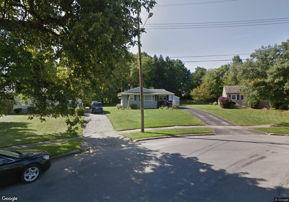
1697 Lealand Ave Youngstown, OH 44514
Estimated Value: $185,307 - $200,000
3
Beds
1
Bath
1,280
Sq Ft
$148/Sq Ft
Est. Value
About This Home
This home is located at 1697 Lealand Ave, Youngstown, OH 44514 and is currently estimated at $189,327, approximately $147 per square foot. 1697 Lealand Ave is a home located in Mahoning County with nearby schools including Robinwood Lane Elementary School, Boardman Glenwood Junior High School, and Boardman High School.
Ownership History
Date
Name
Owned For
Owner Type
Purchase Details
Closed on
Feb 2, 2024
Sold by
Lonardo Jane E and Price Denise A
Bought by
Price Corinne L
Current Estimated Value
Purchase Details
Closed on
Dec 4, 2023
Sold by
Keener Karen N
Bought by
Price Corrine L
Purchase Details
Closed on
Nov 27, 2023
Sold by
Price Richard T
Bought by
Price Corrine L
Purchase Details
Closed on
Dec 12, 1977
Bought by
Price Richard L
Create a Home Valuation Report for This Property
The Home Valuation Report is an in-depth analysis detailing your home's value as well as a comparison with similar homes in the area
Home Values in the Area
Average Home Value in this Area
Purchase History
| Date | Buyer | Sale Price | Title Company |
|---|---|---|---|
| Price Corinne L | $63,000 | None Listed On Document | |
| Price Corrine L | $28,000 | None Listed On Document | |
| Price Corrine L | $28,000 | None Listed On Document | |
| Price Corrine L | $28,000 | None Listed On Document | |
| Price Corrine L | $28,000 | None Listed On Document | |
| Price Richard L | -- | -- |
Source: Public Records
Tax History Compared to Growth
Tax History
| Year | Tax Paid | Tax Assessment Tax Assessment Total Assessment is a certain percentage of the fair market value that is determined by local assessors to be the total taxable value of land and additions on the property. | Land | Improvement |
|---|---|---|---|---|
| 2024 | $2,105 | $50,740 | $8,230 | $42,510 |
| 2023 | $2,108 | $50,740 | $8,230 | $42,510 |
| 2022 | $1,656 | $33,550 | $7,040 | $26,510 |
| 2021 | $1,657 | $33,550 | $7,040 | $26,510 |
| 2020 | $1,666 | $33,550 | $7,040 | $26,510 |
| 2019 | $1,380 | $26,410 | $5,540 | $20,870 |
| 2018 | $1,219 | $26,410 | $5,540 | $20,870 |
| 2017 | $1,243 | $26,410 | $5,540 | $20,870 |
| 2016 | $1,347 | $29,510 | $8,160 | $21,350 |
| 2015 | $1,321 | $29,510 | $8,160 | $21,350 |
| 2014 | $1,325 | $29,510 | $8,160 | $21,350 |
| 2013 | $1,308 | $29,510 | $8,160 | $21,350 |
Source: Public Records
Map
Nearby Homes
- 0 Mathews Rd Unit 5149232
- 0 Mathews Rd Unit 5143059
- 1859 Mathews Rd
- 1738 Island Dr
- 928 Edenridge Dr
- 1890 Mathews Rd
- 1804 Alverne Dr
- 0 Oles Ave
- 1841 Wingate Rd
- 0 Woodlawn Ave
- 0 Moyer Ave
- 1827 Alverne Dr
- 857 Maple Ridge Dr
- 6229 Appleridge Dr
- 1919 Wingate Rd
- 1828 Basil Ave
- 792 Forest Ridge Dr
- 796 Edenridge Dr
- 2061 Mathews Rd
- 2035 Woodward Ave
- 1693 Lealand Ave
- 1701 Lealand Ave
- 1705 Lealand Ave
- 5990 Lightner Place
- 1711 Lealand Ave
- 5980 Lightner Place
- 1700 Lealand Ave
- 1717 Lealand Ave
- 5970 Lightner Place
- 1704 Lealand Ave
- 1710 Lealand Ave
- 5960 Lightner Place
- 1723 Lealand Ave
- 1244 Meadow Ln
- 1232 Meadow Ln
- 1262 Meadow Ln
- 1252 Meadow Ln
- 1716 Lealand Ave
- 5950 Lightner Place
- 1729 Lealand Ave