1699 Hawthorne Ave Waverly, IA 50677
Estimated Value: $318,000 - $488,000
3
Beds
3
Baths
2,162
Sq Ft
$172/Sq Ft
Est. Value
About This Home
This home is located at 1699 Hawthorne Ave, Waverly, IA 50677 and is currently estimated at $372,917, approximately $172 per square foot. 1699 Hawthorne Ave is a home located in Bremer County with nearby schools including Waverly-Shell Rock Senior High School.
Ownership History
Date
Name
Owned For
Owner Type
Purchase Details
Closed on
Oct 24, 2023
Sold by
Brandt Doug and Brandt Luann G
Bought by
Brandt Douglas L and Brandt Luann G
Current Estimated Value
Purchase Details
Closed on
Jan 9, 2006
Sold by
Brandt Melinda
Bought by
Brandt Doug
Home Financials for this Owner
Home Financials are based on the most recent Mortgage that was taken out on this home.
Original Mortgage
$134,000
Interest Rate
6.37%
Mortgage Type
New Conventional
Create a Home Valuation Report for This Property
The Home Valuation Report is an in-depth analysis detailing your home's value as well as a comparison with similar homes in the area
Home Values in the Area
Average Home Value in this Area
Purchase History
| Date | Buyer | Sale Price | Title Company |
|---|---|---|---|
| Brandt Douglas L | -- | None Listed On Document | |
| Brandt Doug | -- | None Available |
Source: Public Records
Mortgage History
| Date | Status | Borrower | Loan Amount |
|---|---|---|---|
| Previous Owner | Brandt Doug | $134,000 |
Source: Public Records
Tax History Compared to Growth
Tax History
| Year | Tax Paid | Tax Assessment Tax Assessment Total Assessment is a certain percentage of the fair market value that is determined by local assessors to be the total taxable value of land and additions on the property. | Land | Improvement |
|---|---|---|---|---|
| 2025 | $3,072 | $315,430 | $89,700 | $225,730 |
| 2024 | $3,072 | $284,520 | $89,700 | $194,820 |
| 2023 | $2,712 | $267,160 | $61,000 | $206,160 |
| 2022 | $2,672 | $223,290 | $56,000 | $167,290 |
| 2021 | $2,688 | $224,590 | $56,000 | $168,590 |
| 2020 | $2,688 | $208,910 | $45,000 | $163,910 |
| 2019 | $2,576 | $202,450 | $0 | $0 |
| 2018 | $2,516 | $202,450 | $0 | $0 |
| 2017 | $2,516 | $200,210 | $0 | $0 |
| 2016 | $2,818 | $200,680 | $0 | $0 |
| 2015 | $2,818 | $188,450 | $0 | $0 |
| 2014 | $2,710 | $188,450 | $0 | $0 |
Source: Public Records
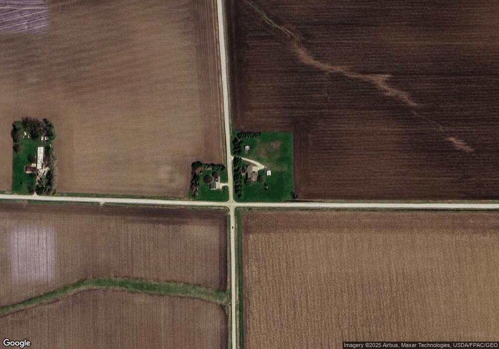
Map
Nearby Homes
- 1527 Garden Ave
- 114 Deerfield Cir Unit Whitetail Bluff Lot
- 110 Deerfield Cir Unit Whitetail Bluff Lot
- 102 Deerfield Cir Unit Whitetail Bluff Lot
- 106 Deerfield Cir Unit Whitetail Bluff Lot
- 1366 190th St
- 1776 130th St
- 1672 212th St
- 0 Easton Ave
- 00 Easton Ave
- 505 Tumbleweed Trail
- 207 Sandcastle Ln
- Lot 1B Cedar Square
- 509 Tumbleweed Trail
- 777 Cedar Glyn Dr
- 1109 Copper Terrace
- 128 Red Fox Trail
- 1111 Fawn Hollow Unit Whitetail Bluff Lot
- 1107 Fawn Hollow Unit Whitetail Bluff Lot
- 207 Deerfield Cir Unit Whitetail Bluff Lot