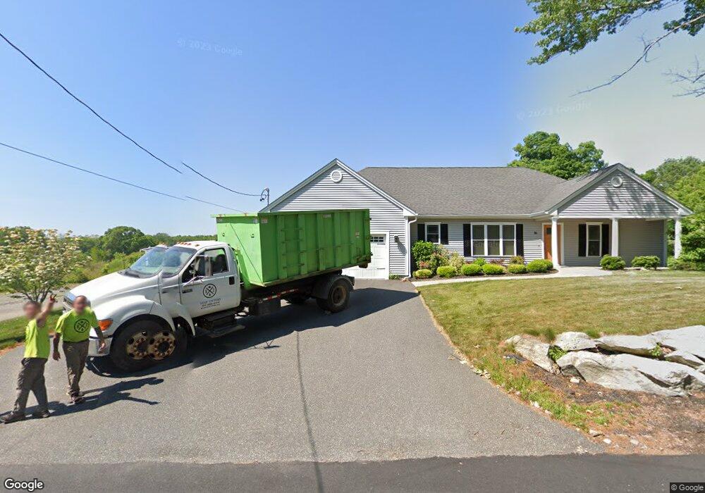
16R Orchard St Blackstone, MA 01504
Estimated Value: $573,000 - $677,073
3
Beds
2
Baths
1,956
Sq Ft
$312/Sq Ft
Est. Value
About This Home
This home is located at 16R Orchard St, Blackstone, MA 01504 and is currently estimated at $609,518, approximately $311 per square foot. 16R Orchard St is a home with nearby schools including Blackstone-Millville Regional High School, Founders Academy, and Beacon Charter School.
Ownership History
Date
Name
Owned For
Owner Type
Purchase Details
Closed on
Apr 28, 2023
Sold by
Loring Patricia A and Loring Robert O
Bought by
Loring Linda A
Current Estimated Value
Purchase Details
Closed on
Sep 29, 2017
Sold by
Benoit Stephen P
Bought by
Loring Robert O and Loring Patricia A
Home Financials for this Owner
Home Financials are based on the most recent Mortgage that was taken out on this home.
Original Mortgage
$319,000
Interest Rate
3.16%
Mortgage Type
New Conventional
Create a Home Valuation Report for This Property
The Home Valuation Report is an in-depth analysis detailing your home's value as well as a comparison with similar homes in the area
Home Values in the Area
Average Home Value in this Area
Purchase History
| Date | Buyer | Sale Price | Title Company |
|---|---|---|---|
| Loring Linda A | -- | None Available | |
| Loring Robert O | $476,108 | -- |
Source: Public Records
Mortgage History
| Date | Status | Borrower | Loan Amount |
|---|---|---|---|
| Previous Owner | Loring Robert O | $319,000 |
Source: Public Records
Tax History Compared to Growth
Tax History
| Year | Tax Paid | Tax Assessment Tax Assessment Total Assessment is a certain percentage of the fair market value that is determined by local assessors to be the total taxable value of land and additions on the property. | Land | Improvement |
|---|---|---|---|---|
| 2025 | $8,985 | $595,000 | $185,100 | $409,900 |
| 2024 | $9,703 | $594,200 | $175,900 | $418,300 |
| 2023 | $8,962 | $553,900 | $175,900 | $378,000 |
| 2022 | $9,109 | $508,900 | $162,300 | $346,600 |
| 2021 | $8,039 | $474,700 | $147,400 | $327,300 |
| 2020 | $8,734 | $463,100 | $148,900 | $314,200 |
| 2019 | $8,339 | $441,000 | $136,600 | $304,400 |
| 2018 | $2,290 | $117,500 | $117,500 | $0 |
| 2017 | $2,263 | $117,500 | $117,500 | $0 |
| 2016 | $2,133 | $110,300 | $110,300 | $0 |
| 2015 | $2,149 | $110,300 | $110,300 | $0 |
Source: Public Records
Map
Nearby Homes
- 302 Main St
- 0 Main St
- 41 Thayer St
- 259 Main St
- 183-183R Mendon St
- 6 Old Mendon St
- 122 Canal St
- 160 Thayer St
- 1 Tupperware Dr Unit 138
- 1 Tupperware Dr Unit 108
- 1 Tupperware Dr Unit 326
- 1 Tupperware Dr Unit 226
- 1 Tupperware Dr Unit 209
- 47 Harkness Rd
- 16 Preston St
- 34 Lincoln St
- 96 Main St Unit 1
- 15 Blackstone St
- 162 Blackstone St
- 179 Thayer St