17-A B Maple Ln New Hampton, NH 03256
Estimated Value: $262,000 - $438,000
4
Beds
2
Baths
1,066
Sq Ft
$338/Sq Ft
Est. Value
About This Home
This home is located at 17-A B Maple Ln, New Hampton, NH 03256 and is currently estimated at $360,295, approximately $337 per square foot. 17-A B Maple Ln is a home with nearby schools including New Hampton Community School.
Create a Home Valuation Report for This Property
The Home Valuation Report is an in-depth analysis detailing your home's value as well as a comparison with similar homes in the area
Home Values in the Area
Average Home Value in this Area
Tax History Compared to Growth
Tax History
| Year | Tax Paid | Tax Assessment Tax Assessment Total Assessment is a certain percentage of the fair market value that is determined by local assessors to be the total taxable value of land and additions on the property. | Land | Improvement |
|---|---|---|---|---|
| 2024 | $4,088 | $308,500 | $138,700 | $169,800 |
| 2023 | $3,767 | $308,500 | $138,700 | $169,800 |
| 2022 | $3,217 | $165,900 | $57,500 | $108,400 |
| 2021 | $3,066 | $163,600 | $57,500 | $106,100 |
| 2020 | $2,937 | $163,600 | $57,500 | $106,100 |
| 2019 | $3,148 | $163,600 | $57,500 | $106,100 |
| 2015 | $3,101 | $170,500 | $47,500 | $123,000 |
Source: Public Records
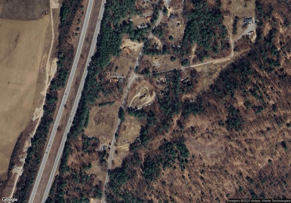
Map
Nearby Homes
- 1555 River Rd
- 1406 Winona Rd
- 125 Thompson St
- 121 Riverside Dr
- 12 Peaked Hill Rd
- 283 River St
- 00 Hicks Hill Rd
- 775 Winona Rd
- 3A N Ashland Rd
- 15-B Wildflower Ln
- 11 Sebec Rd
- 112 Town House Rd
- 216 Jenness Hill Rd
- 14 Overlook Rd
- 54 Mansfield Woods Way
- 7 Hollows Rd
- 14 Mansfield Woods Way
- 6 Mansfield Woods Way
- 63 Mansfield Woods Way
- 206 High Country Way Unit (aka Unit 100)
- 19 Valence Way
- 12 Maple Ln Unit B
- 12 Maple Ln
- 1035 Nh Route 132 N
- 1035 New Hampshire 132
- 1045 Nh Route 132 N
- 1030 Nh Route 132 N
- 999 Nh Route 132 N
- 1040 New Hampshire 132
- 1040 A-E Route 132 N
- 1040 A-E New Hampshire Route 132 N
- 1053 Nh Route 132 N
- 11 Bellarose Rd
- 10 Bellarose Rd
- 996 Nh Route 132 N
- 1067 Nh Route 132 N
- 1 Bellarose Rd
- Lot 12 Bellarose Rd
- 12 Bellarose Rd
- 996 Rt 132n