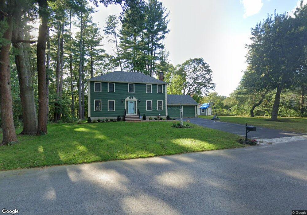
17 Abbot Bridge Dr Andover, MA 01810
Southern Andover NeighborhoodEstimated Value: $1,272,725 - $1,435,000
4
Beds
4
Baths
3,036
Sq Ft
$458/Sq Ft
Est. Value
About This Home
This home is located at 17 Abbot Bridge Dr, Andover, MA 01810 and is currently estimated at $1,389,931, approximately $457 per square foot. 17 Abbot Bridge Dr is a home located in Essex County with nearby schools including South Elementary School, Doherty Middle School, and Andover High School.
Ownership History
Date
Name
Owned For
Owner Type
Purchase Details
Closed on
Jul 19, 2022
Sold by
Hard Work Llc
Bought by
Irwin David W and Bilodeau Amy
Current Estimated Value
Home Financials for this Owner
Home Financials are based on the most recent Mortgage that was taken out on this home.
Original Mortgage
$968,000
Outstanding Balance
$918,249
Interest Rate
5.09%
Mortgage Type
Purchase Money Mortgage
Estimated Equity
$471,682
Purchase Details
Closed on
Jun 23, 2021
Sold by
Connearney R J Jr Est and Bergstrom
Bought by
Hard Work Llc
Purchase Details
Closed on
Jan 2, 1973
Bought by
Connearney Robert J and Connearney Carol R
Create a Home Valuation Report for This Property
The Home Valuation Report is an in-depth analysis detailing your home's value as well as a comparison with similar homes in the area
Home Values in the Area
Average Home Value in this Area
Purchase History
| Date | Buyer | Sale Price | Title Company |
|---|---|---|---|
| Irwin David W | $1,210,000 | None Available | |
| Hard Work Llc | $545,000 | None Available | |
| Hard Work Llc | $545,000 | None Available | |
| Hard Work Llc | $545,000 | None Available | |
| Connearney Robert J | $55,000 | -- |
Source: Public Records
Mortgage History
| Date | Status | Borrower | Loan Amount |
|---|---|---|---|
| Open | Irwin David W | $968,000 | |
| Previous Owner | Connearney Robert J | $125,000 |
Source: Public Records
Tax History
| Year | Tax Paid | Tax Assessment Tax Assessment Total Assessment is a certain percentage of the fair market value that is determined by local assessors to be the total taxable value of land and additions on the property. | Land | Improvement |
|---|---|---|---|---|
| 2024 | $13,825 | $1,073,400 | $536,500 | $536,900 |
| 2023 | $11,035 | $807,800 | $483,200 | $324,600 |
| 2022 | $9,145 | $626,400 | $420,300 | $206,100 |
| 2021 | $8,772 | $573,700 | $382,100 | $191,600 |
| 2020 | $8,452 | $563,100 | $373,000 | $190,100 |
| 2019 | $8,079 | $529,100 | $340,700 | $188,400 |
| 2018 | $7,864 | $502,800 | $327,600 | $175,200 |
| 2017 | $8,077 | $532,100 | $321,200 | $210,900 |
| 2016 | $7,930 | $535,100 | $321,200 | $213,900 |
| 2015 | $7,681 | $513,100 | $308,900 | $204,200 |
Source: Public Records
Map
Nearby Homes
- 19 Abbot Bridge Dr
- 15 Abbot Bridge Dr
- 18 Abbot Bridge Dr
- 20 Abbot Bridge Dr
- 21 Abbot Bridge Dr
- 13 Abbot Bridge Dr
- 4 Jefferson Ln
- 14 Abbot Bridge Dr
- 12 Eastman Rd
- 24 Abbot Bridge Dr
- 23 Abbot Bridge Dr
- 6 Jefferson Ln
- 12 Abbot Bridge Dr
- 3 Jefferson Ln
- 11 Abbot Bridge Dr
- 8 Jefferson Ln
- 10 Eastman Rd
- 5 Livingston Cir
- 5 Jefferson Ln
- 4 Danforth Cir
Your Personal Tour Guide
Ask me questions while you tour the home.