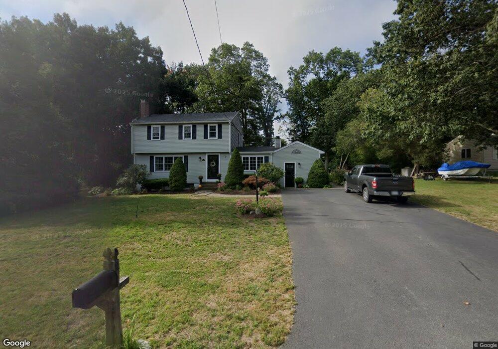
17 Acorn St Scituate, MA 02066
Estimated Value: $820,000 - $997,000
3
Beds
3
Baths
1,852
Sq Ft
$484/Sq Ft
Est. Value
About This Home
This home is located at 17 Acorn St, Scituate, MA 02066 and is currently estimated at $896,862, approximately $484 per square foot. 17 Acorn St is a home located in Plymouth County with nearby schools including Cushing Elementary School, Lester J. Gates Middle School, and Scituate High School.
Ownership History
Date
Name
Owned For
Owner Type
Purchase Details
Closed on
Jun 18, 2024
Sold by
Rosenquist Craig H and Rosenquist Kathleen A
Bought by
Rosenquist Ret and Rosenquist
Current Estimated Value
Purchase Details
Closed on
Feb 26, 1998
Sold by
Malloy Kevin T and Malloy Mary C
Bought by
Rosenquist Craig H and Rosequist Kathleen A
Create a Home Valuation Report for This Property
The Home Valuation Report is an in-depth analysis detailing your home's value as well as a comparison with similar homes in the area
Home Values in the Area
Average Home Value in this Area
Purchase History
| Date | Buyer | Sale Price | Title Company |
|---|---|---|---|
| Rosenquist Ret | -- | None Available | |
| Rosenquist Ret | -- | None Available | |
| Rosenquist Craig H | $229,000 | -- | |
| Rosenquist Craig H | $229,000 | -- |
Source: Public Records
Mortgage History
| Date | Status | Borrower | Loan Amount |
|---|---|---|---|
| Previous Owner | Rosenquist Craig H | $75,000 | |
| Previous Owner | Rosenquist Craig H | $50,000 |
Source: Public Records
Tax History Compared to Growth
Tax History
| Year | Tax Paid | Tax Assessment Tax Assessment Total Assessment is a certain percentage of the fair market value that is determined by local assessors to be the total taxable value of land and additions on the property. | Land | Improvement |
|---|---|---|---|---|
| 2025 | $7,079 | $708,600 | $374,600 | $334,000 |
| 2024 | $6,923 | $668,200 | $340,600 | $327,600 |
| 2023 | $6,951 | $630,900 | $326,800 | $304,100 |
| 2022 | $6,951 | $550,800 | $295,600 | $255,200 |
| 2021 | $6,792 | $509,500 | $281,500 | $228,000 |
| 2020 | $6,589 | $488,100 | $270,700 | $217,400 |
| 2019 | $6,466 | $470,600 | $265,400 | $205,200 |
| 2018 | $6,466 | $463,500 | $276,500 | $187,000 |
| 2017 | $6,271 | $445,100 | $265,500 | $179,600 |
| 2016 | $5,980 | $422,900 | $243,300 | $179,600 |
| 2015 | $5,396 | $411,900 | $232,300 | $179,600 |
Source: Public Records
Map
Nearby Homes
- 14 Aberdeen Dr
- 8 Westgate Ln
- 13 Hornbeam Rd
- 59 Captain Peirce Rd
- 54 Woodland Rd
- 9 Kyle Path
- 42 Captain Peirce Rd
- 1 Hillside Rd
- 112 Hollett St
- 290 Beaver Dam Rd
- 22 Kings Way
- 11 Forest Ln
- 9 Forest Ln Unit 9
- 2 Windward Ln
- 575 First Parish Rd
- 56 Sylvester Rd
- 627 First Parish Rd
- 0 Branch
- 18 James Way
- 16 3 Ring Rd