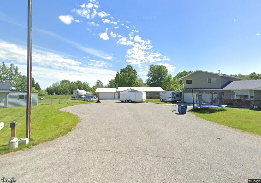
17 Alison Dr Absarokee, MT 59001
Estimated Value: $315,596 - $333,000
3
Beds
2
Baths
1,456
Sq Ft
$221/Sq Ft
Est. Value
About This Home
This home is located at 17 Alison Dr, Absarokee, MT 59001 and is currently estimated at $321,532, approximately $220 per square foot. 17 Alison Dr is a home with nearby schools including Absarokee School, Absarokee Junior High School, and Absarokee High School.
Create a Home Valuation Report for This Property
The Home Valuation Report is an in-depth analysis detailing your home's value as well as a comparison with similar homes in the area
Tax History
| Year | Tax Paid | Tax Assessment Tax Assessment Total Assessment is a certain percentage of the fair market value that is determined by local assessors to be the total taxable value of land and additions on the property. | Land | Improvement |
|---|---|---|---|---|
| 2025 | $1,957 | $353,900 | $0 | $0 |
| 2024 | $2,581 | $309,700 | $0 | $0 |
| 2023 | $2,564 | $309,700 | $0 | $0 |
| 2022 | $2,219 | $217,500 | $0 | $0 |
| 2021 | $1,290 | $217,500 | $0 | $0 |
| 2020 | $1,785 | $201,100 | $0 | $0 |
| 2019 | $1,805 | $201,100 | $0 | $0 |
| 2018 | $1,642 | $167,600 | $0 | $0 |
| 2017 | $1,636 | $167,600 | $0 | $0 |
| 2016 | $1,447 | $162,200 | $0 | $0 |
| 2015 | $1,009 | $162,200 | $0 | $0 |
| 2014 | $853 | $72,557 | $0 | $0 |
Source: Public Records
Map
Nearby Homes
- A Johnson Dr Unit A
- 10 S Woodard Ave
- 12 Avis St
- 110 S Weast
- 2994 Highway 78
- 20 Crow Child Trail
- 2825 & 2830 Highway 78 S
- 91 Upper Hawk Valley Rd
- 37 Barham Rd
- 79 Meyers Rd
- 79 Myers Rd
- 564a Countryman Creek Rd
- 42 Bozeman Trail
- TBD Brumfield RD Brumfield Rd
- 26 Yates Rd
- 26 O'Dare Dr
- 104 Stillwater Loop
- 30 Bear Wolf
- LOT 215 Coyote Pass
- 51 Haystack Coulee Rd
Your Personal Tour Guide
Ask me questions while you tour the home.