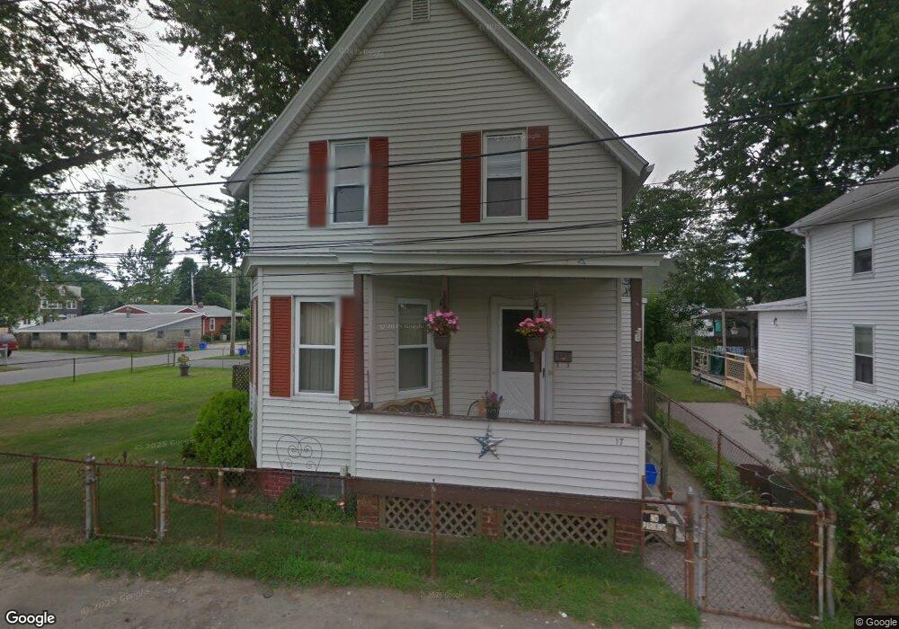
17 Avenue A Riverside, RI 02915
Riverside NeighborhoodEstimated Value: $387,000 - $456,000
3
Beds
2
Baths
1,079
Sq Ft
$380/Sq Ft
Est. Value
About This Home
This home is located at 17 Avenue A, Riverside, RI 02915 and is currently estimated at $409,681, approximately $379 per square foot. 17 Avenue A is a home located in Providence County with nearby schools including East Providence High School, St Mary Academy-Bay View, and St Luke Elementary School.
Ownership History
Date
Name
Owned For
Owner Type
Purchase Details
Closed on
Apr 22, 2022
Sold by
Cook Wendy
Bought by
Cook Wendy
Current Estimated Value
Purchase Details
Closed on
May 21, 2018
Sold by
Gomes Anthony J and Cook Wendy
Bought by
Cook Wendy
Purchase Details
Closed on
Dec 9, 1994
Sold by
Covill Herbert and Covill Mary
Bought by
Gomes Anthony J and Gomes Wendy
Create a Home Valuation Report for This Property
The Home Valuation Report is an in-depth analysis detailing your home's value as well as a comparison with similar homes in the area
Home Values in the Area
Average Home Value in this Area
Purchase History
| Date | Buyer | Sale Price | Title Company |
|---|---|---|---|
| Cook Wendy | -- | None Available | |
| Cook Wendy | -- | None Available | |
| Cook Wendy | -- | -- | |
| Gomes Anthony J | $84,000 | -- | |
| Cook Wendy | -- | -- | |
| Gomes Anthony J | $84,000 | -- |
Source: Public Records
Mortgage History
| Date | Status | Borrower | Loan Amount |
|---|---|---|---|
| Previous Owner | Gomes Anthony J | $177,650 | |
| Previous Owner | Gomes Anthony J | $187,000 | |
| Previous Owner | Gomes Anthony J | $161,000 |
Source: Public Records
Tax History
| Year | Tax Paid | Tax Assessment Tax Assessment Total Assessment is a certain percentage of the fair market value that is determined by local assessors to be the total taxable value of land and additions on the property. | Land | Improvement |
|---|---|---|---|---|
| 2025 | $4,479 | $342,700 | $98,200 | $244,500 |
| 2024 | $4,124 | $269,000 | $81,900 | $187,100 |
| 2023 | $3,970 | $269,000 | $81,900 | $187,100 |
| 2022 | $4,022 | $184,000 | $54,100 | $129,900 |
| 2021 | $3,956 | $184,000 | $53,300 | $130,700 |
| 2020 | $3,789 | $184,000 | $53,300 | $130,700 |
| 2019 | $3,684 | $184,000 | $53,300 | $130,700 |
| 2018 | $3,524 | $154,000 | $53,500 | $100,500 |
| 2017 | $3,445 | $154,000 | $53,500 | $100,500 |
| 2016 | $3,428 | $154,000 | $53,500 | $100,500 |
| 2015 | $3,521 | $153,400 | $54,500 | $98,900 |
| 2014 | $3,521 | $153,400 | $54,500 | $98,900 |
Source: Public Records
Map
Nearby Homes
- 33 Pine St Unit 35
- 72 Stowe Ave
- 35 E Knowlton St
- 129 Shore Rd
- 28 Jefferson Ave
- 99 Allen Ave
- 103 Burnside Ave
- 41 White Ave
- 25 Arnold St
- 151 Willett Ave Unit 2
- 151 Willett Ave Unit 5
- 43 Bullocks Point Ave Unit 4A
- 33 Bullocks Point Ave Unit 5C
- 25 Bullocks Point Ave Unit 5C
- 25 Winslow St
- 10 Booth Ave
- 15 Claire St
- 6 Fuller Ave
- 0 Carousel Dr
- 85 Hilton Ave
Your Personal Tour Guide
Ask me questions while you tour the home.