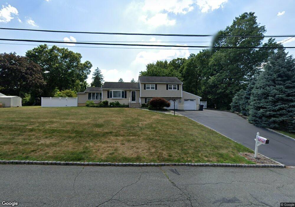
17 Baird Place Whippany, NJ 07981
Estimated Value: $732,978 - $853,000
--
Bed
--
Bath
1,676
Sq Ft
$473/Sq Ft
Est. Value
About This Home
This home is located at 17 Baird Place, Whippany, NJ 07981 and is currently estimated at $792,995, approximately $473 per square foot. 17 Baird Place is a home located in Morris County with nearby schools including Whippany Park High School, Arrow Academy, and The Morristown-Beard School.
Ownership History
Date
Name
Owned For
Owner Type
Purchase Details
Closed on
Jun 17, 1997
Sold by
Breitbarth Richard
Bought by
Mellen David J and Mellen Antoniette
Current Estimated Value
Home Financials for this Owner
Home Financials are based on the most recent Mortgage that was taken out on this home.
Original Mortgage
$140,000
Outstanding Balance
$19,827
Interest Rate
7.86%
Estimated Equity
$773,168
Create a Home Valuation Report for This Property
The Home Valuation Report is an in-depth analysis detailing your home's value as well as a comparison with similar homes in the area
Home Values in the Area
Average Home Value in this Area
Purchase History
| Date | Buyer | Sale Price | Title Company |
|---|---|---|---|
| Mellen David J | $275,000 | -- |
Source: Public Records
Mortgage History
| Date | Status | Borrower | Loan Amount |
|---|---|---|---|
| Open | Mellen David J | $140,000 |
Source: Public Records
Tax History Compared to Growth
Tax History
| Year | Tax Paid | Tax Assessment Tax Assessment Total Assessment is a certain percentage of the fair market value that is determined by local assessors to be the total taxable value of land and additions on the property. | Land | Improvement |
|---|---|---|---|---|
| 2025 | $10,355 | $491,200 | $266,700 | $224,500 |
| 2024 | $10,310 | $491,200 | $266,700 | $224,500 |
| 2023 | $10,310 | $491,200 | $266,700 | $224,500 |
| 2022 | $9,431 | $491,200 | $266,700 | $224,500 |
| 2021 | $9,431 | $491,200 | $266,700 | $224,500 |
| 2020 | $9,264 | $491,200 | $266,700 | $224,500 |
| 2019 | $9,294 | $491,200 | $266,700 | $224,500 |
| 2018 | $9,131 | $491,200 | $266,700 | $224,500 |
| 2017 | $8,861 | $491,200 | $266,700 | $224,500 |
| 2016 | $8,734 | $491,200 | $266,700 | $224,500 |
| 2015 | $8,385 | $491,200 | $266,700 | $224,500 |
| 2014 | $8,203 | $491,200 | $266,700 | $224,500 |
Source: Public Records
Map
Nearby Homes
- 26 David Dr
- 11 Nemic Ln
- 00 Algonquin Pkwy
- 39 Lefke Ln
- 96 Parsippany Rd
- 2003 Vermont Terrace Unit 2003
- Monterey Plan at The Grove - The Monterey Collection
- Pershing Plan at The Grove - The Pershing Collection
- 26 Gladstone Ct
- 42 Gladstone Ct
- 34 Gladstone Ct
- 14 Gladstone Ct
- 92 Sunrise Dr
- 74 Preston Rd
- 709 Brook Hollow Dr Unit 709
- 3306 Appleton Way
- 53 Westminster Dr
- 72 Schindler Ct
- 89 Schindler Ct
- 29 Adams Dr
- 15 Baird Place
- 55 Troy Hills Rd
- 1 Hubert St
- 3 Hubert St
- 14 Baird Place
- 18 Baird Place
- 9 Baird Place
- 12 Baird Place
- 5 Hubert St
- 51B Troy Hills Rd
- 51 Troy Hills Rd
- 51A Troy Hills Rd
- 2 Hubert St
- 51B Troy Hills Rd 300'Off Rd
- 8 Baird Place
- 20 Cortright Rd
- 57 Troy Hills Rd
- 49 Troy Hills Rd
- 23 Cortright Rd
- 7 Hubert St