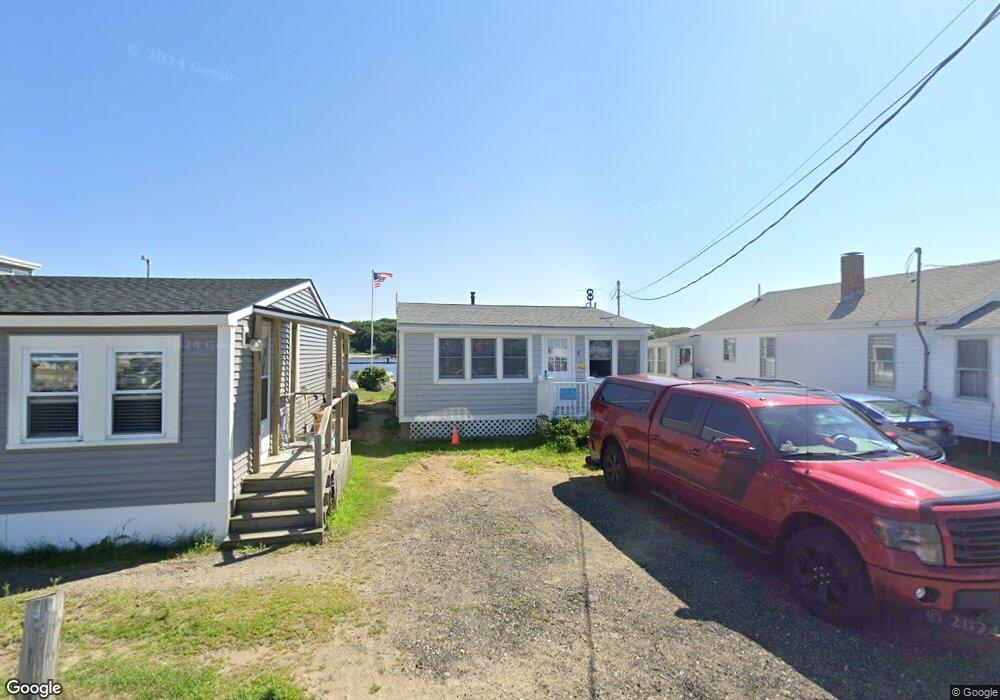
17 Bay Ave Saco, ME 04072
Ferry Beach NeighborhoodEstimated Value: $487,085 - $617,000
2
Beds
1
Bath
682
Sq Ft
$837/Sq Ft
Est. Value
About This Home
This home is located at 17 Bay Ave, Saco, ME 04072 and is currently estimated at $571,021, approximately $837 per square foot. 17 Bay Ave is a home located in York County with nearby schools including C K Burns School, Saco Middle School, and Florence Lombard Christian School.
Ownership History
Date
Name
Owned For
Owner Type
Purchase Details
Closed on
Jun 11, 2008
Sold by
Bourque David L and Bourque Susan S
Bought by
Bourque David L
Current Estimated Value
Home Financials for this Owner
Home Financials are based on the most recent Mortgage that was taken out on this home.
Original Mortgage
$145,000
Interest Rate
6.13%
Mortgage Type
Unknown
Create a Home Valuation Report for This Property
The Home Valuation Report is an in-depth analysis detailing your home's value as well as a comparison with similar homes in the area
Home Values in the Area
Average Home Value in this Area
Purchase History
| Date | Buyer | Sale Price | Title Company |
|---|---|---|---|
| Bourque David L | -- | -- |
Source: Public Records
Mortgage History
| Date | Status | Borrower | Loan Amount |
|---|---|---|---|
| Closed | Bourque David L | $155,000 | |
| Closed | Bourque David L | $145,000 |
Source: Public Records
Tax History Compared to Growth
Tax History
| Year | Tax Paid | Tax Assessment Tax Assessment Total Assessment is a certain percentage of the fair market value that is determined by local assessors to be the total taxable value of land and additions on the property. | Land | Improvement |
|---|---|---|---|---|
| 2024 | $5,947 | $423,300 | $318,100 | $105,200 |
| 2023 | $6,244 | $423,300 | $318,100 | $105,200 |
| 2022 | $5,789 | $315,800 | $242,500 | $73,300 |
| 2021 | $5,624 | $297,900 | $227,800 | $70,100 |
| 2020 | $5,315 | $270,200 | $205,700 | $64,500 |
| 2019 | $5,236 | $270,200 | $205,700 | $64,500 |
| 2018 | $5,167 | $266,600 | $202,100 | $64,500 |
| 2017 | $3,742 | $247,400 | $183,700 | $63,700 |
| 2016 | $3,677 | $237,400 | $172,300 | $65,100 |
| 2015 | $4,547 | $236,600 | $172,300 | $64,300 |
| 2014 | $4,307 | $231,300 | $167,000 | $64,300 |
| 2013 | $4,298 | $231,300 | $167,000 | $64,300 |
Source: Public Records
Map
Nearby Homes
- 23 North Ave
- 9 Riverside Ave
- 26 Reserved Ln
- 12 Lower Beach Rd
- 27 Sunrise Ave
- 10 Seaside Ave
- 1 Willow Ridge
- 527 Pool St
- 66 Old Pool Rd
- 6 Days Landing
- part of 31 Sokokis Rd
- 6 Tide Water Dr
- 88-90 Old Pool Rd
- 88 Old Pool Rd Unit 90
- 625,650 Pool St
- 30 Vines Rd
- TBD 530 Ferry Rd
- 700 Pool St
- 57 Plymouth Dr
- 111 Mile Stretch Rd