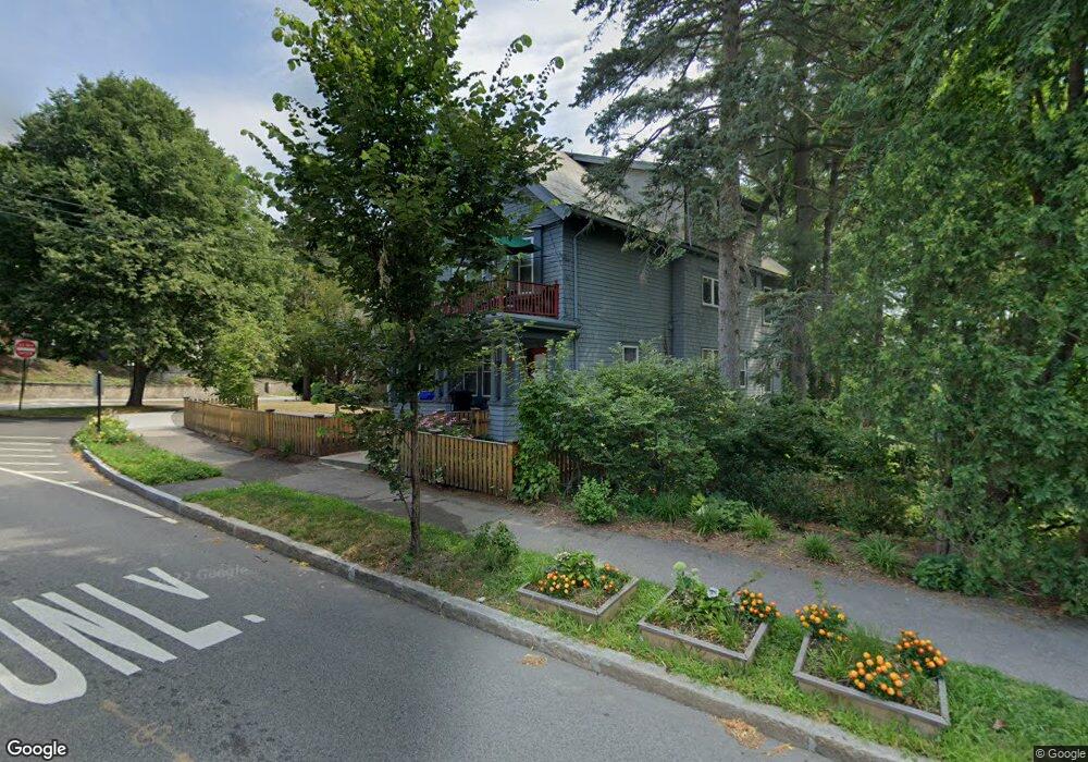
17 Blake Rd Brookline, MA 02445
Brookline Village NeighborhoodEstimated Value: $2,288,000 - $2,568,115
6
Beds
3
Baths
3,957
Sq Ft
$609/Sq Ft
Est. Value
About This Home
This home is located at 17 Blake Rd, Brookline, MA 02445 and is currently estimated at $2,409,029, approximately $608 per square foot. 17 Blake Rd is a home located in Norfolk County with nearby schools including John D. Runkle School, Brookline High School, and Maimonides School.
Ownership History
Date
Name
Owned For
Owner Type
Purchase Details
Closed on
Aug 28, 2024
Sold by
Polumbaum Nyna B and Polumbaum Ian L
Bought by
17 Blake Road Rt and Polumbaum
Current Estimated Value
Purchase Details
Closed on
Aug 31, 2006
Sold by
Neipris Audrey S
Bought by
Polumbaum Ian L and Narain Nalina
Home Financials for this Owner
Home Financials are based on the most recent Mortgage that was taken out on this home.
Original Mortgage
$850,000
Interest Rate
6.83%
Mortgage Type
Purchase Money Mortgage
Create a Home Valuation Report for This Property
The Home Valuation Report is an in-depth analysis detailing your home's value as well as a comparison with similar homes in the area
Home Values in the Area
Average Home Value in this Area
Purchase History
| Date | Buyer | Sale Price | Title Company |
|---|---|---|---|
| 17 Blake Road Rt | -- | None Available | |
| 17 Blake Road Rt | -- | None Available | |
| Polumbaum Ian L | $1,150,000 | -- | |
| Polumbaum Ian L | $1,150,000 | -- |
Source: Public Records
Mortgage History
| Date | Status | Borrower | Loan Amount |
|---|---|---|---|
| Previous Owner | Polumbaum Ian L | $531,313 | |
| Previous Owner | Polumbaum Ian L | $850,000 | |
| Previous Owner | Polumbaum Ian L | $173,500 |
Source: Public Records
Tax History
| Year | Tax Paid | Tax Assessment Tax Assessment Total Assessment is a certain percentage of the fair market value that is determined by local assessors to be the total taxable value of land and additions on the property. | Land | Improvement |
|---|---|---|---|---|
| 2025 | $21,989 | $2,227,900 | $1,227,800 | $1,000,100 |
| 2024 | $21,567 | $2,207,500 | $1,180,600 | $1,026,900 |
| 2023 | $20,636 | $2,069,800 | $945,600 | $1,124,200 |
| 2022 | $20,087 | $1,971,200 | $900,500 | $1,070,700 |
| 2021 | $18,575 | $1,895,400 | $865,900 | $1,029,500 |
| 2020 | $17,512 | $1,853,100 | $787,200 | $1,065,900 |
| 2019 | $19,263 | $2,055,800 | $749,700 | $1,306,100 |
| 2018 | $18,153 | $1,918,900 | $681,400 | $1,237,500 |
| 2017 | $17,556 | $1,776,900 | $643,000 | $1,133,900 |
| 2016 | $16,832 | $1,615,400 | $600,900 | $1,014,500 |
| 2015 | $15,684 | $1,468,500 | $561,600 | $906,900 |
| 2014 | $15,301 | $1,343,400 | $510,500 | $832,900 |
Source: Public Records
Map
Nearby Homes
- 24 Blake Rd
- 140 Sumner Rd Unit 1
- 115 Clark Rd
- 71 Greenough St Unit 71-1
- 15 Colbourne Crescent Unit 2
- 90 Addington Rd Unit 1
- 90 Addington Rd Unit 2
- 84 Winthrop Rd Unit 1
- 84 Winthrop Rd
- 101 Winthrop Rd Unit 1
- 89 University Rd
- 57 University Rd Unit 3
- 20 Claflin Rd Unit A
- 4 Fairbanks St Unit 2
- 315 Tappan St Unit 4
- 401 Washington St Unit 6
- 8 Leverett St Unit 3
- 11 Goodwin Place Unit 1
- 11 Goodwin Place Unit 11-1
- 11 Goodwin Place Unit 11-2
- 21 Blake Rd
- 106 Sumner Rd
- 116 Tappan St
- 116 Tappan St Unit 1
- 116 Tappan St Unit 2
- 108 Tappan St Unit 110
- 16 Blake Rd
- 12 Blake Rd
- 112 Sumner Rd
- 100 Tappan St
- 110 Tappan St Unit 110
- 115 Tappan St
- 138 Tappan St
- 6 Blake Rd
- 6 Blake Rd Unit 2
- 125 Tappan St
- 118 Sumner Rd
- 109 Tappan St
- 98 Tappan St
- 101 Sumner Rd
Your Personal Tour Guide
Ask me questions while you tour the home.