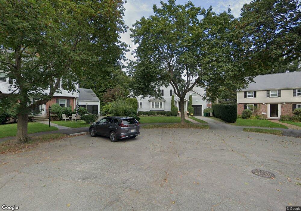
17 Bonmar Cir Auburndale, MA 02466
Auburndale NeighborhoodEstimated Value: $1,684,000 - $1,981,230
4
Beds
4
Baths
3,011
Sq Ft
$621/Sq Ft
Est. Value
About This Home
This home is located at 17 Bonmar Cir, Auburndale, MA 02466 and is currently estimated at $1,869,308, approximately $620 per square foot. 17 Bonmar Cir is a home located in Middlesex County with nearby schools including Williams Elementary School, Charles E Brown Middle School, and Newton South High School.
Ownership History
Date
Name
Owned For
Owner Type
Purchase Details
Closed on
Apr 13, 2009
Sold by
Merrigan Peter A and Merrigan Barbara B
Bought by
Merrigan Barbara B
Current Estimated Value
Purchase Details
Closed on
Jul 1, 1998
Sold by
Meenan Robert F and Meenan Linda F
Bought by
Merrigan Peter A and Merrigan Barbara A
Home Financials for this Owner
Home Financials are based on the most recent Mortgage that was taken out on this home.
Original Mortgage
$335,000
Interest Rate
7.04%
Mortgage Type
Purchase Money Mortgage
Create a Home Valuation Report for This Property
The Home Valuation Report is an in-depth analysis detailing your home's value as well as a comparison with similar homes in the area
Home Values in the Area
Average Home Value in this Area
Purchase History
| Date | Buyer | Sale Price | Title Company |
|---|---|---|---|
| Merrigan Barbara B | -- | -- | |
| Merrigan Peter A | $430,000 | -- |
Source: Public Records
Mortgage History
| Date | Status | Borrower | Loan Amount |
|---|---|---|---|
| Previous Owner | Merrigan Peter A | $335,000 | |
| Previous Owner | Merrigan Peter A | $100,000 |
Source: Public Records
Tax History Compared to Growth
Tax History
| Year | Tax Paid | Tax Assessment Tax Assessment Total Assessment is a certain percentage of the fair market value that is determined by local assessors to be the total taxable value of land and additions on the property. | Land | Improvement |
|---|---|---|---|---|
| 2025 | $15,425 | $1,574,000 | $949,000 | $625,000 |
| 2024 | $14,915 | $1,528,200 | $921,400 | $606,800 |
| 2023 | $14,282 | $1,402,900 | $705,500 | $697,400 |
| 2022 | $13,665 | $1,299,000 | $653,200 | $645,800 |
| 2021 | $3,236 | $1,225,500 | $616,200 | $609,300 |
| 2020 | $3,223 | $1,225,500 | $616,200 | $609,300 |
| 2019 | $12,433 | $1,189,800 | $598,300 | $591,500 |
| 2018 | $2,956 | $1,124,800 | $474,600 | $650,200 |
| 2017 | $13,576 | $1,220,900 | $512,500 | $708,400 |
| 2016 | $12,985 | $1,141,000 | $479,000 | $662,000 |
| 2015 | $12,381 | $1,066,400 | $447,700 | $618,700 |
Source: Public Records
Map
Nearby Homes
- 283 Woodland Rd
- 1754 Washington St
- 1639 Washington St
- 1640 Commonwealth Ave
- 17 Gilbert St
- 51 Bourne St
- 13 Weir St
- 224 Auburn St Unit 224
- 224 Auburn St Unit A
- 226 Auburn St Unit 226
- 0 Duncan Rd Unit 72925240
- 17 Lasell St
- 62-64 Rowe St Unit B
- 10 Ruane Rd
- 17 Crescent St
- 10 Crescent St Unit 1
- 10 Crescent St Unit 2
- 283 Melrose St
- 40 Sewall St
- 27 Oakwood Rd
- 15 Bonmar Cir
- 1778 Commonwealth Ave
- 1774 Commonwealth Ave
- 114 Windermere Rd
- 1768 Commonwealth Ave Unit 1768
- 1766 Commonwealth Ave Unit 1768
- 1766 Commonwealth Ave Unit 1766
- 1766 Commonwealth Ave Unit 2
- 1766 Commonwealth Ave Unit 1
- 118 Windermere Rd
- 9 Bonmar Cir
- 18 Bonmar Cir
- 1790 Commonwealth Ave
- 126 Windermere Rd
- 16 Bonmar Cir
- 1707 Washington St
- 10 Bonmar Cir
- 296 Woodland Rd
- 290 Woodland Rd
- 302 Woodland Rd