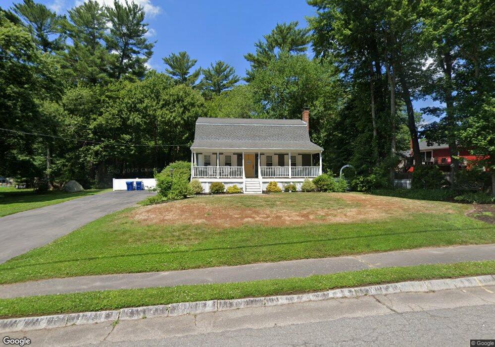
17 Branch Rd East Bridgewater, MA 02333
Estimated Value: $570,000 - $656,000
3
Beds
1
Bath
1,632
Sq Ft
$371/Sq Ft
Est. Value
About This Home
This home is located at 17 Branch Rd, East Bridgewater, MA 02333 and is currently estimated at $604,704, approximately $370 per square foot. 17 Branch Rd is a home located in Plymouth County with nearby schools including Central Elementary School, Gordon W Mitchell Middle School, and East Bridgewater Jr./Sr. High School.
Ownership History
Date
Name
Owned For
Owner Type
Purchase Details
Closed on
Jul 23, 2004
Sold by
Willis John F and Willis Constance A
Bought by
Dooley Marianne
Current Estimated Value
Home Financials for this Owner
Home Financials are based on the most recent Mortgage that was taken out on this home.
Original Mortgage
$252,000
Interest Rate
6.28%
Mortgage Type
Purchase Money Mortgage
Create a Home Valuation Report for This Property
The Home Valuation Report is an in-depth analysis detailing your home's value as well as a comparison with similar homes in the area
Home Values in the Area
Average Home Value in this Area
Purchase History
| Date | Buyer | Sale Price | Title Company |
|---|---|---|---|
| Dooley Marianne | $352,000 | -- |
Source: Public Records
Mortgage History
| Date | Status | Borrower | Loan Amount |
|---|---|---|---|
| Open | Dooley Marianne | $295,075 | |
| Closed | Dooley Marianne | $60,000 | |
| Closed | Dooley Marianne | $252,000 | |
| Previous Owner | Dooley Marianne | $55,000 |
Source: Public Records
Tax History Compared to Growth
Tax History
| Year | Tax Paid | Tax Assessment Tax Assessment Total Assessment is a certain percentage of the fair market value that is determined by local assessors to be the total taxable value of land and additions on the property. | Land | Improvement |
|---|---|---|---|---|
| 2025 | $7,085 | $518,300 | $211,400 | $306,900 |
| 2024 | $6,901 | $498,600 | $203,300 | $295,300 |
| 2023 | $6,735 | $466,100 | $203,300 | $262,800 |
| 2022 | $6,260 | $401,300 | $169,500 | $231,800 |
| 2021 | $6,131 | $359,600 | $162,800 | $196,800 |
| 2020 | $5,982 | $346,000 | $156,600 | $189,400 |
| 2019 | $5,800 | $330,300 | $149,700 | $180,600 |
| 2018 | $10,079 | $312,000 | $149,700 | $162,300 |
| 2017 | $5,442 | $297,400 | $142,700 | $154,700 |
| 2016 | $5,228 | $287,900 | $142,700 | $145,200 |
| 2015 | $5,076 | $285,800 | $141,700 | $144,100 |
| 2014 | $4,844 | $278,900 | $138,800 | $140,100 |
Source: Public Records
Map
Nearby Homes
- 1247 Central St
- 936 Central St
- 5 Della Way
- 844 Washington St
- 9 Daisy Ln
- 1 Simmons Place
- 182 Crystal Water Dr Unit 182
- 217 Crystal Water Dr
- 28 Brookbend Way E
- 170 Elm St
- 78 Crystal Water Dr
- 51 Stonegate Dr
- 587 Bridge St
- 1993 Washington St
- 71 Stonegate Dr
- 26 Meadowbrook Dr
- 14 Mountain Ash Rd
- 2045 Washington St
- 9 Hemlock Dr
- 94 Pond St