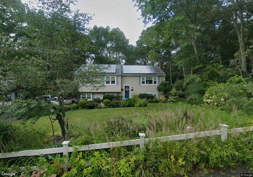
17 Briggs Ave Buzzards Bay, MA 02532
Estimated Value: $551,000 - $648,000
3
Beds
2
Baths
1,892
Sq Ft
$313/Sq Ft
Est. Value
About This Home
This home is located at 17 Briggs Ave, Buzzards Bay, MA 02532 and is currently estimated at $591,718, approximately $312 per square foot. 17 Briggs Ave is a home located in Barnstable County with nearby schools including Bourne High School, Cadence Academy Preschool - Bourne, and St Margaret Regional School.
Ownership History
Date
Name
Owned For
Owner Type
Purchase Details
Closed on
Mar 20, 2023
Sold by
Faux Joyce E
Bought by
Joyce E Faux T E and Joyce Faux
Current Estimated Value
Purchase Details
Closed on
Feb 27, 1995
Sold by
Scavuzzo Joseph G and Scavuzzo Annebelle L
Bought by
Faux Robert L
Create a Home Valuation Report for This Property
The Home Valuation Report is an in-depth analysis detailing your home's value as well as a comparison with similar homes in the area
Purchase History
| Date | Buyer | Sale Price | Title Company |
|---|---|---|---|
| Joyce E Faux T E | -- | None Available | |
| Joyce E Faux T E | -- | None Available | |
| Faux Robert L | $110,000 | -- | |
| Faux Robert L | $110,000 | -- |
Source: Public Records
Mortgage History
| Date | Status | Borrower | Loan Amount |
|---|---|---|---|
| Previous Owner | Faux Robert L | $80,000 | |
| Previous Owner | Faux Robert L | $25,000 | |
| Previous Owner | Faux Robert L | $15,150 | |
| Previous Owner | Faux Robert L | $86,000 |
Source: Public Records
Tax History
| Year | Tax Paid | Tax Assessment Tax Assessment Total Assessment is a certain percentage of the fair market value that is determined by local assessors to be the total taxable value of land and additions on the property. | Land | Improvement |
|---|---|---|---|---|
| 2025 | $4,431 | $567,400 | $185,400 | $382,000 |
| 2024 | $4,334 | $540,400 | $176,600 | $363,800 |
| 2023 | $4,214 | $478,300 | $156,300 | $322,000 |
| 2022 | $3,621 | $358,900 | $138,300 | $220,600 |
| 2021 | $3,305 | $306,900 | $125,900 | $181,000 |
| 2020 | $980 | $299,900 | $124,700 | $175,200 |
| 2019 | $1,060 | $290,000 | $124,700 | $165,300 |
| 2018 | $2,993 | $284,000 | $118,800 | $165,200 |
| 2017 | $922 | $275,200 | $111,700 | $163,500 |
| 2016 | $2,719 | $267,600 | $111,800 | $155,800 |
| 2015 | $2,576 | $255,800 | $100,000 | $155,800 |
Source: Public Records
Map
Nearby Homes
- 20 Colony Ave
- 4 Harbor Hill Dr
- 16 Amberwood Ct
- 12 Turnberry Rd Unit 12
- 4 Hollyhock Knoll Ct Unit 4
- 4 Hollyhock Knoll Ct Unit 4
- 203 County Rd
- 2 Applewood Ct
- 5 Sea Knoll Ct
- 13 Laurel Hill Ct
- 566 Shore Rd
- 3 1st St
- 709 County Rd
- 7 4th Ave
- 3 4th Ave
- 5 Zoli Ln
- 254 Barlows Landing Rd
- 16 Michael Rd
- 14 Navajo Rd
- 44 Cotuit Rd
- 19 Briggs Ave
- 16 Colony Ave
- 15 Briggs Ave
- 15 Briggs Ave
- 16 Colony Ave
- 18 Briggs Ave
- 16 Briggs Ave
- 16 Briggs Ave
- 20 Briggs Ave
- 20 Briggs Ave
- 4 Silver Birch Ave
- 2 Silver Birch Ln
- 2 Silver Birch Ave
- 14 Briggs Ave
- 6 Silver Birch Ave
- 4 Silver Birch Ln
- 10 Colony Ave
- 10 Colony Ave
- 22 Briggs Ave
- 2 Silver Birch Ave
Your Personal Tour Guide
Ask me questions while you tour the home.