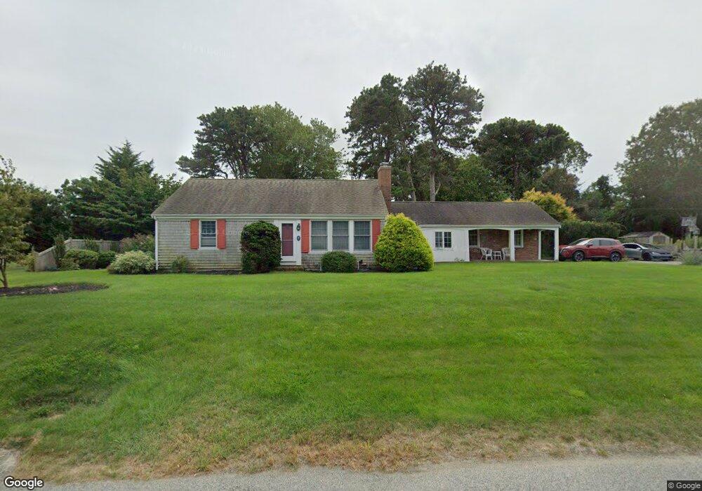
17 Captain Small Rd South Yarmouth, MA 02664
Estimated Value: $473,000 - $537,000
2
Beds
1
Bath
962
Sq Ft
$529/Sq Ft
Est. Value
About This Home
This home is located at 17 Captain Small Rd, South Yarmouth, MA 02664 and is currently estimated at $509,190, approximately $529 per square foot. 17 Captain Small Rd is a home located in Barnstable County with nearby schools including Dennis-Yarmouth Regional High School and St. Pius X. School.
Ownership History
Date
Name
Owned For
Owner Type
Purchase Details
Closed on
Oct 21, 1994
Sold by
Hurynowicz Robert F and Hurynowicz Joan D
Bought by
Broderick Charles M and Joyce Peter
Current Estimated Value
Home Financials for this Owner
Home Financials are based on the most recent Mortgage that was taken out on this home.
Original Mortgage
$75,000
Interest Rate
8.49%
Mortgage Type
Purchase Money Mortgage
Create a Home Valuation Report for This Property
The Home Valuation Report is an in-depth analysis detailing your home's value as well as a comparison with similar homes in the area
Home Values in the Area
Average Home Value in this Area
Purchase History
| Date | Buyer | Sale Price | Title Company |
|---|---|---|---|
| Broderick Charles M | $95,000 | -- |
Source: Public Records
Mortgage History
| Date | Status | Borrower | Loan Amount |
|---|---|---|---|
| Open | Broderick Charles M | $110,000 | |
| Closed | Broderick Charles M | $75,800 | |
| Closed | Broderick Charles M | $74,000 | |
| Closed | Broderick Charles M | $75,000 |
Source: Public Records
Tax History Compared to Growth
Tax History
| Year | Tax Paid | Tax Assessment Tax Assessment Total Assessment is a certain percentage of the fair market value that is determined by local assessors to be the total taxable value of land and additions on the property. | Land | Improvement |
|---|---|---|---|---|
| 2025 | $3,472 | $490,400 | $180,700 | $309,700 |
| 2024 | $3,226 | $437,100 | $152,800 | $284,300 |
| 2023 | $3,117 | $384,400 | $132,300 | $252,100 |
| 2022 | $2,940 | $320,300 | $120,200 | $200,100 |
| 2021 | $2,766 | $289,300 | $120,200 | $169,100 |
| 2020 | $2,706 | $270,600 | $120,100 | $150,500 |
| 2019 | $2,511 | $248,600 | $120,100 | $128,500 |
| 2018 | $2,375 | $230,800 | $102,300 | $128,500 |
| 2017 | $2,269 | $226,400 | $97,900 | $128,500 |
| 2016 | $2,171 | $217,500 | $89,000 | $128,500 |
| 2015 | $2,139 | $213,000 | $89,000 | $124,000 |
Source: Public Records
Map
Nearby Homes
- 75 Captain York Rd
- 76 Captain Chase Rd
- 147 Captain Bacon Rd
- 33 Sparrow Way
- 0 Forsyth Ave
- 72 Quartermaster Row
- 4 Raymond Ave
- 97 Astor Way
- 6 Billingsgate Rd
- 30 Quartermaster Row
- 140 Diane Ave
- 176 Beacon St
- 255 Long Pond Dr
- 7 Sunset Pines Rd
- 338 Forest Rd
- 38 Autumn Dr
- 15 Sharon Rd
- 55 Lower Brook Rd
- 22 Powhatan Rd
- 15 Captain Small Rd
- 15 Capt Small Rd
- 68 Vine Brook Rd
- 62 Vine Brook Rd
- 21 Captain Small Rd
- 14 Captain Small Rd
- 18 Captain Small Rd
- 4 Larch Arbor Rd
- 58 Vine Brook Rd
- 10 Captain Small Rd
- 10 Capt Small Rd
- 22 Captain Small Rd
- 9 Captain Small Rd
- 25 Captain Small Rd
- 46 Antlers Rd
- 8 Larch Arbor Rd
- 9 Captain Nickerson Rd
- 6 Capt Small Rd
- 6 Captain Small Rd
- 15 Captain Nickerson Rd