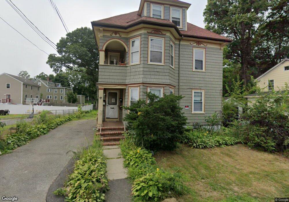
17 Carleton St Unit 1 Brockton, MA 02301
Estimated Value: $797,000 - $864,000
3
Beds
1
Bath
1,500
Sq Ft
$552/Sq Ft
Est. Value
About This Home
This home is located at 17 Carleton St Unit 1, Brockton, MA 02301 and is currently estimated at $827,333, approximately $551 per square foot. 17 Carleton St Unit 1 is a home located in Plymouth County with nearby schools including Arnone Elementary School, Joseph F. Plouffe Middle School, and Brockton Area Seventh-Day Adventist Academy.
Ownership History
Date
Name
Owned For
Owner Type
Purchase Details
Closed on
Jan 5, 2000
Sold by
Carleton Rt
Bought by
Raymond Jean Y
Current Estimated Value
Purchase Details
Closed on
Aug 27, 1997
Sold by
Emc Mtg Corp
Bought by
Lindahl David C
Purchase Details
Closed on
Oct 31, 1996
Sold by
Stripinis Michael F and Centerbank Mtg Co
Bought by
Centerbank Mtg Co
Create a Home Valuation Report for This Property
The Home Valuation Report is an in-depth analysis detailing your home's value as well as a comparison with similar homes in the area
Home Values in the Area
Average Home Value in this Area
Purchase History
| Date | Buyer | Sale Price | Title Company |
|---|---|---|---|
| Raymond Jean Y | $117,000 | -- | |
| Lindahl David C | $55,000 | -- | |
| Emc Mtg Corp | $28,181 | -- | |
| Centerbank Mtg Co | $61,640 | -- |
Source: Public Records
Mortgage History
| Date | Status | Borrower | Loan Amount |
|---|---|---|---|
| Open | Centerbank Mtg Co | $303,750 | |
| Closed | Centerbank Mtg Co | $275,000 |
Source: Public Records
Tax History Compared to Growth
Tax History
| Year | Tax Paid | Tax Assessment Tax Assessment Total Assessment is a certain percentage of the fair market value that is determined by local assessors to be the total taxable value of land and additions on the property. | Land | Improvement |
|---|---|---|---|---|
| 2025 | $7,890 | $651,500 | $140,600 | $510,900 |
| 2024 | $7,595 | $631,900 | $140,600 | $491,300 |
| 2023 | $6,887 | $530,600 | $106,800 | $423,800 |
| 2022 | $6,746 | $482,900 | $97,100 | $385,800 |
| 2021 | $6,180 | $426,200 | $81,200 | $345,000 |
| 2020 | $5,575 | $368,000 | $75,500 | $292,500 |
| 2019 | $5,465 | $351,700 | $73,500 | $278,200 |
| 2018 | $5,131 | $332,600 | $73,500 | $259,100 |
| 2017 | $4,960 | $258,500 | $73,500 | $185,000 |
| 2016 | $4,206 | $242,300 | $71,400 | $170,900 |
| 2015 | $3,380 | $186,200 | $71,400 | $114,800 |
| 2014 | $3,227 | $178,000 | $71,400 | $106,600 |
Source: Public Records
Map
Nearby Homes
- 17 Carleton St
- 11 Carleton St
- 249 W Elm St
- 14 Carleton St
- 257 W Elm St
- 12 Carleton St
- 235 W Elm St
- 2 Brett St Unit 1 B
- 1 Brett St Unit 1 B
- 4 Carleton St
- 4 Carleton St Unit 3
- 4 Carleton St Unit 1,2 & 3
- 4 Carleton St Unit 1
- 58 Ellsworth St
- 58 Ellsworth St Unit 3
- 7 Montgomery St
- 227 W Elm St Unit 7
- 227 W Elm St Unit 6
- 227 W Elm St Unit 5
- 227 W Elm St Unit 4