17 Carol Ct Unit 17 Rye Brook, NY 10573
Purchase NeighborhoodEstimated Value: $1,885,467 - $2,148,000
3
Beds
4
Baths
2,937
Sq Ft
$683/Sq Ft
Est. Value
About This Home
This home is located at 17 Carol Ct Unit 17, Rye Brook, NY 10573 and is currently estimated at $2,005,367, approximately $682 per square foot. 17 Carol Ct Unit 17 is a home located in Westchester County with nearby schools including Bruno M. Ponterio Ridge Street School, Blind Brook Rye Middle School, and Blind Brook High School.
Ownership History
Date
Name
Owned For
Owner Type
Purchase Details
Closed on
Aug 30, 2024
Sold by
Mckenna Erin and Mckenna Francis
Bought by
Zecchini Edward and Gaffney Grace
Current Estimated Value
Purchase Details
Closed on
Jan 22, 2018
Sold by
Toll Land V Limited Partnership
Bought by
Mckenna Francis and Mckenna Erin
Home Financials for this Owner
Home Financials are based on the most recent Mortgage that was taken out on this home.
Original Mortgage
$1,245,498
Interest Rate
3.94%
Mortgage Type
New Conventional
Create a Home Valuation Report for This Property
The Home Valuation Report is an in-depth analysis detailing your home's value as well as a comparison with similar homes in the area
Home Values in the Area
Average Home Value in this Area
Purchase History
| Date | Buyer | Sale Price | Title Company |
|---|---|---|---|
| Zecchini Edward | $1,775,000 | First American Title | |
| Mckenna Francis | $1,563,101 | New York Title |
Source: Public Records
Mortgage History
| Date | Status | Borrower | Loan Amount |
|---|---|---|---|
| Previous Owner | Mckenna Francis | $1,245,498 |
Source: Public Records
Tax History Compared to Growth
Tax History
| Year | Tax Paid | Tax Assessment Tax Assessment Total Assessment is a certain percentage of the fair market value that is determined by local assessors to be the total taxable value of land and additions on the property. | Land | Improvement |
|---|---|---|---|---|
| 2024 | $51,468 | $1,834,000 | $343,300 | $1,490,700 |
| 2023 | $39,279 | $1,798,000 | $326,900 | $1,471,100 |
| 2022 | $38,613 | $1,385,200 | $326,900 | $1,058,300 |
| 2021 | $38,203 | $1,320,000 | $326,900 | $993,100 |
| 2020 | $33,769 | $1,320,000 | $326,900 | $993,100 |
| 2019 | $66,129 | $1,320,000 | $274,200 | $1,045,800 |
| 2018 | $11,843 | $1,517,400 | $266,600 | $1,250,800 |
| 2017 | $1,066 | $635,100 | $264,300 | $370,800 |
| 2016 | $9,491 | $251,700 | $251,700 | $0 |
| 2015 | -- | $251,700 | $251,700 | $0 |
| 2014 | -- | $228,300 | $228,300 | $0 |
| 2013 | -- | $228,300 | $228,300 | $0 |
Source: Public Records
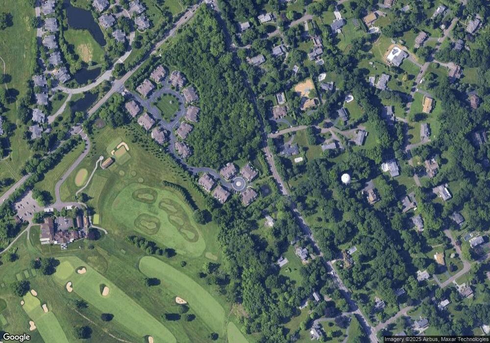
Map
Nearby Homes
- 27 Doral Greens Dr E
- 125 Bowman Dr
- 15 Arrowwood Cir Unit 136
- 53 Country Ridge Dr
- 53 Shady Ln
- 27 Lavender Ln
- 7 Curt Terrace
- 26 Shady Ln
- 15 Walker Ct
- 21 Honeysuckle Ln
- 70 Glenville St
- 12 Glenville St Unit 108
- 301 River W
- 26 Reunion Rd
- 15 Rockinghorse Trail
- 351 Pemberwick Rd Unit 111
- 5 Bristol Ln
- 267 Riversville Rd
- 1 Element Ln
- 122 Lincoln Ave
- 17 Carol Ct
- 18 Carol Ct Unit 18
- 16 Carol Ct
- 16 Carol Ct Unit 16
- 15 Carol Ct Unit 15
- 19 Carol Ct Unit 19
- 20 Carol Ct Unit 20
- 20 Carol Ct
- 21 Carol Ct Unit 21
- 22 Carol Ct Unit 22
- 23 Carol Ct Unit 23
- 24 Carol Ct Unit 24
- 1 Rincard Terrace
- 4 Rincard Terrace
- 1004 King St
- 14 Carol Ct Unit 14
- 1027 King St
- 13 Carol Ct Unit 13
- 2 Rincard Terrace
- 11 David Ln Unit 11