17 Cedar Point Dr Beaufort, SC 29907
Estimated Value: $350,404 - $387,000
3
Beds
4
Baths
1,248
Sq Ft
$293/Sq Ft
Est. Value
About This Home
This home is located at 17 Cedar Point Dr, Beaufort, SC 29907 and is currently estimated at $365,601, approximately $292 per square foot. 17 Cedar Point Dr is a home located in Beaufort County with nearby schools including Lady's Island Elementary School, Lady's Island Middle School, and Beaufort High School.
Ownership History
Date
Name
Owned For
Owner Type
Purchase Details
Closed on
Nov 21, 2019
Sold by
Mull Alison M and Moore Alison
Bought by
Mull Shannon Mckinley
Current Estimated Value
Home Financials for this Owner
Home Financials are based on the most recent Mortgage that was taken out on this home.
Original Mortgage
$67,000
Outstanding Balance
$58,825
Interest Rate
3.5%
Mortgage Type
New Conventional
Estimated Equity
$306,776
Create a Home Valuation Report for This Property
The Home Valuation Report is an in-depth analysis detailing your home's value as well as a comparison with similar homes in the area
Home Values in the Area
Average Home Value in this Area
Purchase History
| Date | Buyer | Sale Price | Title Company |
|---|---|---|---|
| Mull Shannon Mckinley | $77,000 | None Available |
Source: Public Records
Mortgage History
| Date | Status | Borrower | Loan Amount |
|---|---|---|---|
| Open | Mull Shannon Mckinley | $67,000 |
Source: Public Records
Tax History Compared to Growth
Tax History
| Year | Tax Paid | Tax Assessment Tax Assessment Total Assessment is a certain percentage of the fair market value that is determined by local assessors to be the total taxable value of land and additions on the property. | Land | Improvement |
|---|---|---|---|---|
| 2024 | $947 | $10,188 | $1,132 | $9,056 |
| 2023 | $947 | $10,188 | $1,132 | $9,056 |
| 2022 | $889 | $5,804 | $780 | $5,024 |
| 2021 | $863 | $5,804 | $780 | $5,024 |
| 2020 | $2,197 | $5,804 | $780 | $5,024 |
| 2019 | $835 | $5,804 | $780 | $5,024 |
| 2018 | $807 | $5,540 | $0 | $0 |
| 2017 | $712 | $4,820 | $0 | $0 |
| 2016 | $696 | $4,820 | $0 | $0 |
| 2014 | $474 | $4,820 | $0 | $0 |
Source: Public Records
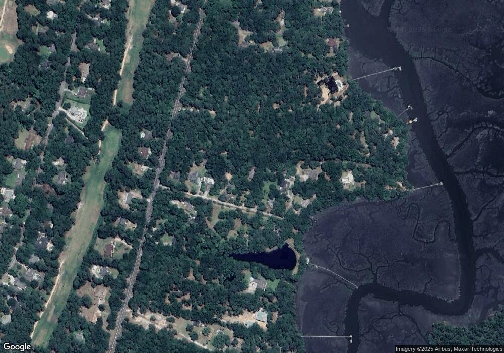
Map
Nearby Homes
- 571 Sams Point Rd
- 591 Sams Point Rd
- 525 Sams Point Rd
- 47 Wade Hampton Dr
- 77 Wade Hampton Dr
- 1 Royal Pines Blvd
- 9 Attaway Ln
- 22 Wade Hampton Dr
- 14 Wade Hampton Dr
- 1 Pickens St
- 34 Thomas Sumter St
- 19 Pickens St
- 15 Woods Ln
- 13 Woods Ln
- 47 Mary Elizabeth Dr
- 123 Francis Marion Cir
- 64 Southern Magnolia Dr
- 9 Woods Ln
- 7 Woods Ln
- 4 Shiney Leaf Ct
- 11 Cedar Point Dr
- 21 Cedar Point Dr
- 33 Cedar Point Dr
- 7 Cedar Point Dr
- 572 Sams Point Rd
- 5 Cedar Point Dr
- 560 Sams Point Rd
- 34 Cedar Point Dr
- 26 Cedar Point Dr
- 554 Sams Point Rd
- 3 Cedar Point Dr
- 42 Cedar Point Dr
- 556 Sams Point Rd
- 44 Cedar Point Dr
- 552 Sams Point Rd
- 582 Sams Point Rd
- 546 Sams Point Rd
- 561 Sams Point Rd
- 565 Sams Point Rd
- 569 Sams Point Rd