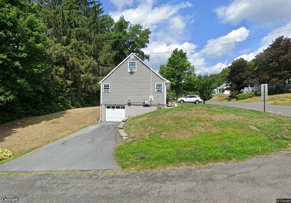
17 Cedar Rd Winsted, CT 06098
Estimated Value: $249,531 - $266,000
3
Beds
1
Bath
1,032
Sq Ft
$248/Sq Ft
Est. Value
About This Home
This home is located at 17 Cedar Rd, Winsted, CT 06098 and is currently estimated at $255,633, approximately $247 per square foot. 17 Cedar Rd is a home located in Litchfield County with nearby schools including Pearson School and St Anthony School.
Ownership History
Date
Name
Owned For
Owner Type
Purchase Details
Closed on
Apr 28, 1994
Sold by
Sowell Barbara E
Bought by
Gagner William P and Gagner Marilyn L
Current Estimated Value
Home Financials for this Owner
Home Financials are based on the most recent Mortgage that was taken out on this home.
Original Mortgage
$65,000
Interest Rate
7.7%
Mortgage Type
Unknown
Create a Home Valuation Report for This Property
The Home Valuation Report is an in-depth analysis detailing your home's value as well as a comparison with similar homes in the area
Home Values in the Area
Average Home Value in this Area
Purchase History
| Date | Buyer | Sale Price | Title Company |
|---|---|---|---|
| Gagner William P | $110,000 | -- | |
| Gagner William P | $110,000 | -- |
Source: Public Records
Mortgage History
| Date | Status | Borrower | Loan Amount |
|---|---|---|---|
| Closed | Gagner William P | $65,000 | |
| Previous Owner | Gagner William P | $80,000 | |
| Previous Owner | Gagner William P | $20,000 |
Source: Public Records
Tax History
| Year | Tax Paid | Tax Assessment Tax Assessment Total Assessment is a certain percentage of the fair market value that is determined by local assessors to be the total taxable value of land and additions on the property. | Land | Improvement |
|---|---|---|---|---|
| 2025 | $3,635 | $124,600 | $31,570 | $93,030 |
| 2024 | $3,394 | $124,600 | $31,570 | $93,030 |
| 2023 | $3,288 | $124,600 | $31,570 | $93,030 |
| 2022 | $2,993 | $89,250 | $22,890 | $66,360 |
| 2021 | $2,993 | $89,250 | $22,890 | $66,360 |
| 2020 | $2,993 | $89,250 | $22,890 | $66,360 |
| 2019 | $2,993 | $89,250 | $22,890 | $66,360 |
| 2018 | $2,993 | $89,250 | $22,890 | $66,360 |
| 2017 | $2,968 | $88,480 | $22,890 | $65,590 |
| 2016 | $3,083 | $91,910 | $22,890 | $69,020 |
| 2015 | $3,005 | $91,910 | $22,890 | $69,020 |
| 2014 | $2,933 | $91,910 | $22,890 | $69,020 |
Source: Public Records
Map
Nearby Homes
- 95 Colony Dr
- 39 S Main St
- 9 Central Ave
- 57 Main St
- 174 Wallens St Unit A5
- 55 Walnut St
- 8 Oak St
- 35 Riveredge Dr Unit 35
- 171 Wallens St
- 408 New Hartford Rd
- 21 Riveredge Dr Unit 21
- 25 Center St
- 48 Bridge St
- 157 Elm St
- 44 Lewis St
- 436 Main St
- 106 Rockwell St
- 107 Birdsall St
- 124 Rockwell St
- 174 Old North Rd
- 153 Glendale Ave
- 154 Glendale Ave
- 146 Glendale Ave
- 139 Glendale Ave
- 11 Cedar Rd
- 159 Glendale Ave
- 160 Glendale Ave
- 133 Glendale Ave
- 136 Glendale Ave
- 14 Cedar Rd
- 167 Glendale Ave
- 130 Glendale Ave
- 168 Glendale Ave
- 82 Maloney Ct
- 170 Glendale Ave
- 88 Maloney Ct
- 125 Glendale Ave
- 15 Spruce St
- 76 Maloney Ct
- 120 Glendale Ave
Your Personal Tour Guide
Ask me questions while you tour the home.