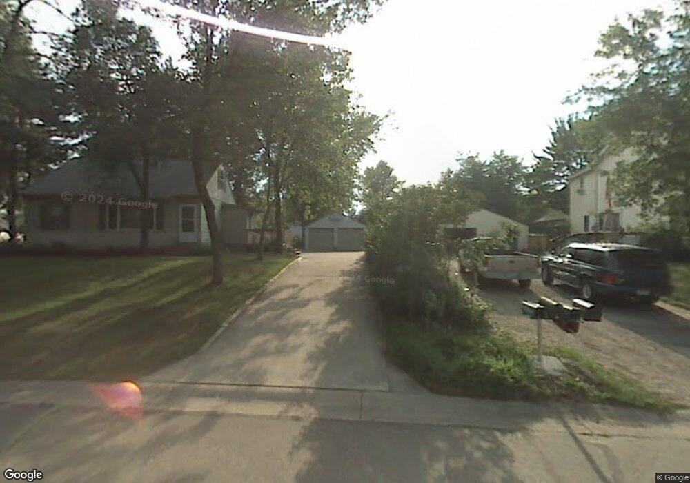
17 Circle Dr Circle Pines, MN 55014
Estimated Value: $261,000 - $284,622
2
Beds
1
Bath
839
Sq Ft
$323/Sq Ft
Est. Value
About This Home
This home is located at 17 Circle Dr, Circle Pines, MN 55014 and is currently estimated at $270,656, approximately $322 per square foot. 17 Circle Dr is a home located in Anoka County with nearby schools including Centennial Elementary School, Centennial Middle School, and Centennial High School.
Ownership History
Date
Name
Owned For
Owner Type
Purchase Details
Closed on
Feb 21, 2006
Sold by
Powers Gregory J
Bought by
Ganske Jeffrey J and Ganske Sada L
Current Estimated Value
Purchase Details
Closed on
Nov 18, 2002
Sold by
Ann Jamie Kenneth W and Ann Jamie Debora
Bought by
Powers Gregory J
Create a Home Valuation Report for This Property
The Home Valuation Report is an in-depth analysis detailing your home's value as well as a comparison with similar homes in the area
Home Values in the Area
Average Home Value in this Area
Purchase History
| Date | Buyer | Sale Price | Title Company |
|---|---|---|---|
| Ganske Jeffrey J | $173,900 | -- | |
| Powers Gregory J | $154,400 | -- |
Source: Public Records
Tax History Compared to Growth
Tax History
| Year | Tax Paid | Tax Assessment Tax Assessment Total Assessment is a certain percentage of the fair market value that is determined by local assessors to be the total taxable value of land and additions on the property. | Land | Improvement |
|---|---|---|---|---|
| 2025 | $2,798 | $257,200 | $110,000 | $147,200 |
| 2024 | $2,798 | $239,200 | $95,000 | $144,200 |
| 2023 | $2,778 | $250,100 | $98,200 | $151,900 |
| 2022 | $2,951 | $243,300 | $82,000 | $161,300 |
| 2021 | $2,870 | $194,600 | $64,400 | $130,200 |
| 2020 | $2,962 | $186,800 | $64,400 | $122,400 |
| 2019 | $2,763 | $183,900 | $61,300 | $122,600 |
| 2018 | $2,421 | $162,700 | $0 | $0 |
| 2017 | $2,143 | $153,300 | $0 | $0 |
| 2016 | $2,127 | $127,300 | $0 | $0 |
| 2015 | -- | $127,300 | $47,000 | $80,300 |
| 2014 | -- | $114,100 | $44,800 | $69,300 |
Source: Public Records
Map
Nearby Homes
- 100 South Dr Unit E
- 230 Aurora Ln
- 104 South Dr
- 3 Golden Oak Dr
- 105 South Dr Unit D
- 9 Oak Leaf Ln
- 253 Stardust Blvd
- 4743 104th Ave NE
- 4660 104th Ln NE
- 4185 Austin St NE
- 6924 Lakeview Dr
- 319 Heritage Trail Unit 512
- 324 Heritage Trail
- 310 Heritage Trail
- 306 Heritage Trail
- 343 Heritage Trail
- 10622 Marmon St NE
- 7009 Sunrise Dr
- 56 W Golden Lake Rd
- 3975 Lovell Rd