17 Dale Ave Unit 3 Auburn, MA 01501
Stoneville NeighborhoodEstimated Value: $446,000 - $524,000
3
Beds
2
Baths
1,880
Sq Ft
$254/Sq Ft
Est. Value
About This Home
This home is located at 17 Dale Ave Unit 3, Auburn, MA 01501 and is currently estimated at $477,765, approximately $254 per square foot. 17 Dale Ave Unit 3 is a home located in Worcester County with nearby schools including Auburn Senior High School and Shrewsbury Montessori School - Auburn Campus.
Ownership History
Date
Name
Owned For
Owner Type
Purchase Details
Closed on
Mar 8, 2006
Sold by
Mccarthy John Timothy
Bought by
Eaton Daleswood Rt and Eaton Frank W
Current Estimated Value
Purchase Details
Closed on
Apr 9, 2003
Sold by
Westwood Assoc Inc
Bought by
Mccarthy John T
Home Financials for this Owner
Home Financials are based on the most recent Mortgage that was taken out on this home.
Original Mortgage
$262,650
Interest Rate
5.86%
Mortgage Type
Purchase Money Mortgage
Create a Home Valuation Report for This Property
The Home Valuation Report is an in-depth analysis detailing your home's value as well as a comparison with similar homes in the area
Home Values in the Area
Average Home Value in this Area
Purchase History
| Date | Buyer | Sale Price | Title Company |
|---|---|---|---|
| Eaton Daleswood Rt | $335,000 | -- | |
| Mccarthy John T | $291,844 | -- |
Source: Public Records
Mortgage History
| Date | Status | Borrower | Loan Amount |
|---|---|---|---|
| Previous Owner | Mccarthy John T | $262,650 |
Source: Public Records
Tax History Compared to Growth
Tax History
| Year | Tax Paid | Tax Assessment Tax Assessment Total Assessment is a certain percentage of the fair market value that is determined by local assessors to be the total taxable value of land and additions on the property. | Land | Improvement |
|---|---|---|---|---|
| 2025 | $55 | $384,200 | $0 | $384,200 |
| 2024 | $5,067 | $339,400 | $0 | $339,400 |
| 2023 | $4,923 | $310,000 | $0 | $310,000 |
| 2022 | $4,943 | $293,900 | $0 | $293,900 |
| 2021 | $5,253 | $289,600 | $0 | $289,600 |
| 2020 | $4,912 | $273,200 | $0 | $273,200 |
| 2019 | $4,557 | $247,400 | $0 | $247,400 |
| 2018 | $4,765 | $258,400 | $0 | $258,400 |
| 2017 | $4,739 | $258,400 | $0 | $258,400 |
| 2016 | $4,555 | $251,800 | $0 | $251,800 |
| 2015 | $4,346 | $251,800 | $0 | $251,800 |
| 2014 | $4,087 | $236,400 | $0 | $236,400 |
Source: Public Records
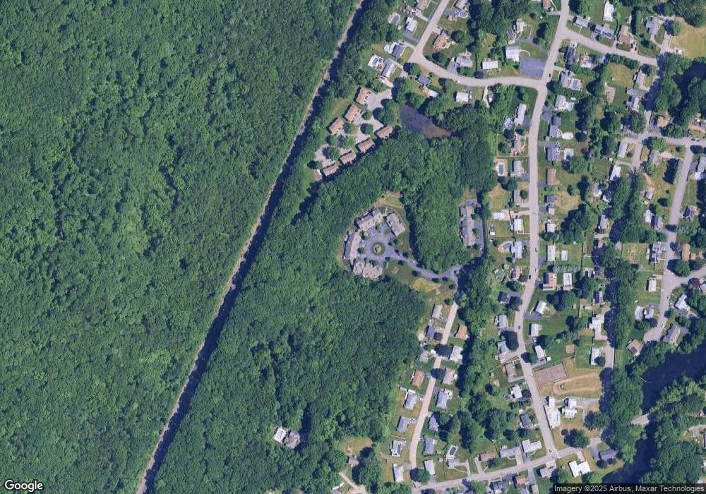
Map
Nearby Homes
- 1-9 Helens Way
- 19-20 Williams St
- 177 Oxford St N
- 27 Havana Rd
- 177 Boyce St
- 176 Boyce St
- 315 Stafford St
- 25 Vinal St Unit 26
- 25 Vinal St Unit 29
- 25 Vinal St Unit 30
- 2 Keen St
- 5 Commonwealth Ave
- 11 Inwood Rd
- 34 Rockland Rd
- Lot 2 Leicester St
- 3 Old Cart Rd
- 8 Shirley St
- 664 Stafford St
- 53 James St
- 4 S Edlin St
- 17 Dale Ave Unit 9
- 17 Dale Ave Unit 8
- 17 Dale Ave Unit 7
- 17 Dale Ave Unit 6
- 17 Dale Ave Unit 5
- 17 Dale Ave Unit 4
- 17 Dale Ave Unit 2
- 17 Dale Ave Unit 11
- 17 Dale Ave Unit 10
- 17 Dale Ave Unit 1
- 17-4 Dale Ave Unit 4
- 20 Dale Ave Unit 4
- 20 Dale Ave Unit 3
- 20 Dale Ave Unit 2
- 20 Dale Ave Unit 1
- 20-1 Dale Ave Unit 1
- 5B John Williams Dr Unit 5B
- 4 John William Dr Unit B
- 1 John William Dr Unit B
- 4 John William Dr Unit C