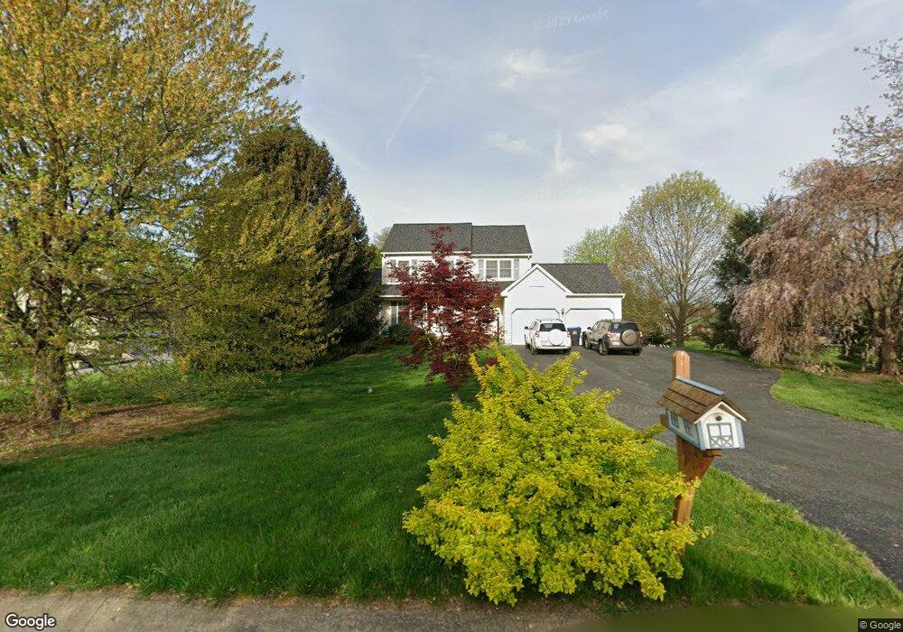
17 Diane Dr Honey Brook, PA 19344
Estimated Value: $528,824 - $605,000
4
Beds
2
Baths
2,256
Sq Ft
$254/Sq Ft
Est. Value
About This Home
This home is located at 17 Diane Dr, Honey Brook, PA 19344 and is currently estimated at $572,706, approximately $253 per square foot. 17 Diane Dr is a home located in Chester County with nearby schools including Honey Brook Elementary Center, Twin Valley Middle School, and Twin Valley High School.
Ownership History
Date
Name
Owned For
Owner Type
Purchase Details
Closed on
Jul 24, 1998
Sold by
Mclucas John J and Mclucas Ruth M
Bought by
Jennings William and Jennings Bonnie
Current Estimated Value
Home Financials for this Owner
Home Financials are based on the most recent Mortgage that was taken out on this home.
Original Mortgage
$125,000
Interest Rate
6.49%
Purchase Details
Closed on
Jan 27, 1997
Sold by
Marshall Creek Farm Inc
Bought by
Mclucas John J and Mclucas Ruth M
Home Financials for this Owner
Home Financials are based on the most recent Mortgage that was taken out on this home.
Original Mortgage
$151,300
Interest Rate
7.57%
Create a Home Valuation Report for This Property
The Home Valuation Report is an in-depth analysis detailing your home's value as well as a comparison with similar homes in the area
Home Values in the Area
Average Home Value in this Area
Purchase History
| Date | Buyer | Sale Price | Title Company |
|---|---|---|---|
| Jennings William | $178,000 | -- | |
| Mclucas John J | $159,300 | -- |
Source: Public Records
Mortgage History
| Date | Status | Borrower | Loan Amount |
|---|---|---|---|
| Previous Owner | Jennings William | $125,000 | |
| Previous Owner | Mclucas John J | $151,300 |
Source: Public Records
Tax History Compared to Growth
Tax History
| Year | Tax Paid | Tax Assessment Tax Assessment Total Assessment is a certain percentage of the fair market value that is determined by local assessors to be the total taxable value of land and additions on the property. | Land | Improvement |
|---|---|---|---|---|
| 2025 | $7,186 | $187,160 | $49,480 | $137,680 |
| 2024 | $7,186 | $187,160 | $49,480 | $137,680 |
| 2023 | $7,022 | $187,160 | $49,480 | $137,680 |
| 2022 | $6,945 | $187,160 | $49,480 | $137,680 |
| 2021 | $6,742 | $187,160 | $49,480 | $137,680 |
| 2020 | $6,708 | $187,160 | $49,480 | $137,680 |
| 2019 | $6,508 | $187,160 | $49,480 | $137,680 |
| 2018 | $6,508 | $187,160 | $49,480 | $137,680 |
| 2017 | $6,355 | $187,160 | $49,480 | $137,680 |
| 2016 | $5,027 | $187,160 | $49,480 | $137,680 |
| 2015 | $5,027 | $187,160 | $49,480 | $137,680 |
| 2014 | $5,027 | $187,160 | $49,480 | $137,680 |
Source: Public Records
Map
Nearby Homes
- 407 Cahill Cir Unit 4
- 110 Petrelia Dr
- 0 Westbrook Dr
- 0 Westbrook Dr
- 0 Westbrook Dr
- 0 Westbrook Dr
- 650 Broad St
- 607 Buchland Rd
- 14 Blue Spruce Dr
- 1022 Elwood St
- 339 Churchtown Rd
- 5892 Meadville Rd
- 490 Red Hill Rd
- 241 Dove Dr
- 211 Michael Rd
- 40 Cupola Rd
- 2085 Main St
- 112 Maxwell Hill Rd
- 1250 Chestnut Tree Rd
- 114 Jacobs Dr