17 Dix Rd Ipswich, MA 01938
Estimated Value: $863,817 - $1,041,000
4
Beds
2
Baths
2,904
Sq Ft
$318/Sq Ft
Est. Value
About This Home
This home is located at 17 Dix Rd, Ipswich, MA 01938 and is currently estimated at $923,454, approximately $317 per square foot. 17 Dix Rd is a home located in Essex County with nearby schools including Ipswich High School and Clark School.
Ownership History
Date
Name
Owned For
Owner Type
Purchase Details
Closed on
May 1, 2003
Sold by
Foster Ft and Koppy Jennifer E
Bought by
Foster Robert A
Current Estimated Value
Purchase Details
Closed on
Jun 26, 1992
Sold by
Warren Anita
Bought by
Baranski Sandra L and Leblanc Henry J
Home Financials for this Owner
Home Financials are based on the most recent Mortgage that was taken out on this home.
Original Mortgage
$125,000
Interest Rate
8.57%
Mortgage Type
Purchase Money Mortgage
Create a Home Valuation Report for This Property
The Home Valuation Report is an in-depth analysis detailing your home's value as well as a comparison with similar homes in the area
Home Values in the Area
Average Home Value in this Area
Purchase History
| Date | Buyer | Sale Price | Title Company |
|---|---|---|---|
| Foster Robert A | $60,000 | -- | |
| Baranski Sandra L | $173,000 | -- |
Source: Public Records
Mortgage History
| Date | Status | Borrower | Loan Amount |
|---|---|---|---|
| Previous Owner | Baranski Sandra L | $122,000 | |
| Previous Owner | Baranski Sandra L | $125,000 | |
| Previous Owner | Baranski Sandra L | $50,000 |
Source: Public Records
Tax History
| Year | Tax Paid | Tax Assessment Tax Assessment Total Assessment is a certain percentage of the fair market value that is determined by local assessors to be the total taxable value of land and additions on the property. | Land | Improvement |
|---|---|---|---|---|
| 2025 | $8,766 | $786,200 | $423,400 | $362,800 |
| 2024 | $8,314 | $730,600 | $423,400 | $307,200 |
| 2023 | $8,404 | $687,200 | $392,900 | $294,300 |
| 2022 | $8,045 | $625,600 | $362,500 | $263,100 |
| 2021 | $7,895 | $597,200 | $347,200 | $250,000 |
| 2020 | $7,892 | $562,900 | $332,000 | $230,900 |
| 2019 | $7,686 | $545,500 | $316,700 | $228,800 |
| 2018 | $7,457 | $523,700 | $301,500 | $222,200 |
| 2017 | $7,013 | $494,200 | $279,700 | $214,500 |
| 2016 | $6,895 | $464,300 | $279,700 | $184,600 |
| 2015 | $6,093 | $451,000 | $270,900 | $180,100 |
Source: Public Records
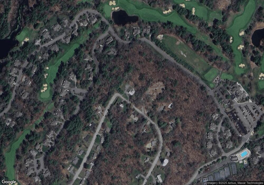
Map
Nearby Homes
- 75 Country Club Way
- 6 James Rd
- 10 Choate Ln
- 196 Country Club Way
- 42 Summer St Unit 2
- 6 Ashley Rd
- 76-78 Daniels Rd
- 7 Hickory Ln
- 17 Ice Pond Dr
- 378 Linebrook Rd
- 34 Central St Unit 2
- 34 Central St Unit 1
- 460 - 472 Newburyport Turnpike
- 22 Taylor Ln
- 38 Buttonwood
- 38 Buttonwood Unit 30
- 9 Booth Ct Unit 9
- 9 Booth Ct
- 45 Pineswamp Rd
- 30 Buttonwood
Your Personal Tour Guide
Ask me questions while you tour the home.