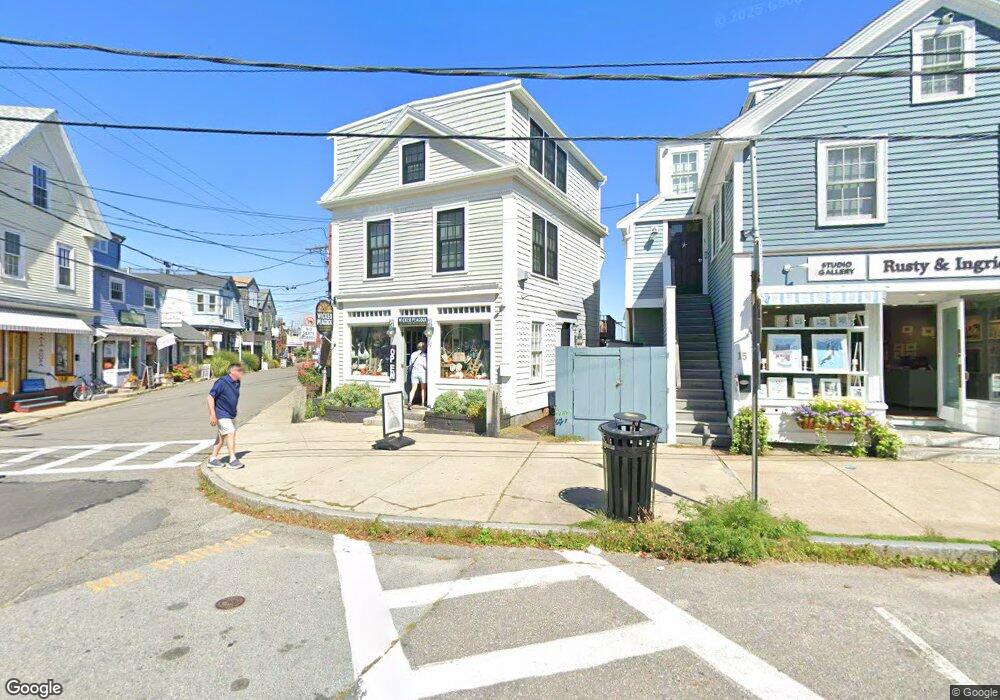
17 Dock Square Unit 1 Rockport, MA 01966
Estimated Value: $916,503
--
Bed
1
Bath
400
Sq Ft
$2,291/Sq Ft
Est. Value
About This Home
This home is located at 17 Dock Square Unit 1, Rockport, MA 01966 and is currently estimated at $916,503, approximately $2,291 per square foot. 17 Dock Square Unit 1 is a home located in Essex County with nearby schools including Rockport Elementary School, Rockport Middle School, and Rockport High School.
Ownership History
Date
Name
Owned For
Owner Type
Purchase Details
Closed on
Mar 11, 2016
Sold by
Costa Josephine A
Bought by
Costa Ft 2 and Costa
Current Estimated Value
Purchase Details
Closed on
Sep 25, 2015
Sold by
Ardent Design Llc
Bought by
Costa Josephine A
Purchase Details
Closed on
Feb 14, 2012
Sold by
Moores Wilhelmina
Bought by
Ardent Design Llc
Home Financials for this Owner
Home Financials are based on the most recent Mortgage that was taken out on this home.
Original Mortgage
$320,000
Interest Rate
3.96%
Mortgage Type
Commercial
Purchase Details
Closed on
Mar 8, 2010
Sold by
Moores Ian W and Moores Wilhelmina
Bought by
Moores Wilhelmina
Purchase Details
Closed on
May 22, 2006
Sold by
Kaminski Pamela E
Bought by
Moores Ian W and Moores Wilhelmina
Purchase Details
Closed on
May 5, 2006
Sold by
Granite Street Rt and Kaminski
Bought by
Kaminski Pamela E
Purchase Details
Closed on
Mar 9, 2004
Sold by
Granite Street Rt and Kaminski
Bought by
Kaminski Pamela E
Purchase Details
Closed on
Sep 8, 1999
Sold by
Louis Burnett T
Bought by
Granite Street Rt and Kaminski
Create a Home Valuation Report for This Property
The Home Valuation Report is an in-depth analysis detailing your home's value as well as a comparison with similar homes in the area
Home Values in the Area
Average Home Value in this Area
Purchase History
| Date | Buyer | Sale Price | Title Company |
|---|---|---|---|
| Costa Ft 2 | -- | -- | |
| Costa Ft 2 | -- | -- | |
| Costa Josephine A | $480,000 | -- | |
| Costa Josephine A | $480,000 | -- | |
| Ardent Design Llc | $410,000 | -- | |
| Ardent Design Llc | $410,000 | -- | |
| Moores Wilhelmina | -- | -- | |
| Moores Wilhelmina | -- | -- | |
| Moores Ian W | $500,000 | -- | |
| Moores Ian W | $500,000 | -- | |
| Kaminski Pamela E | -- | -- | |
| Kaminski Pamela E | -- | -- | |
| Kaminski Pamela E | -- | -- | |
| Kaminski Pamela E | -- | -- | |
| Granite Street Rt | $253,025 | -- | |
| Granite Street Rt | $253,025 | -- |
Source: Public Records
Mortgage History
| Date | Status | Borrower | Loan Amount |
|---|---|---|---|
| Previous Owner | Granite Street Rt | $320,000 |
Source: Public Records
Tax History Compared to Growth
Tax History
| Year | Tax Paid | Tax Assessment Tax Assessment Total Assessment is a certain percentage of the fair market value that is determined by local assessors to be the total taxable value of land and additions on the property. | Land | Improvement |
|---|---|---|---|---|
| 2025 | $5,876 | $670,800 | $508,200 | $162,600 |
| 2024 | $5,212 | $619,000 | $465,600 | $153,400 |
| 2023 | $5,053 | $535,800 | $415,400 | $120,400 |
| 2022 | $5,243 | $533,900 | $412,800 | $121,100 |
| 2021 | $5,144 | $528,100 | $412,800 | $115,300 |
| 2020 | $4,916 | $486,700 | $372,800 | $113,900 |
| 2019 | $4,747 | $481,400 | $372,800 | $108,600 |
| 2018 | $3,945 | $390,200 | $281,600 | $108,600 |
| 2017 | $4,401 | $390,200 | $281,600 | $108,600 |
| 2016 | $4,240 | $376,900 | $273,700 | $103,200 |
| 2015 | $4,146 | $376,900 | $273,700 | $103,200 |
| 2014 | $4,248 | $376,900 | $273,700 | $103,200 |
Source: Public Records
Map
Nearby Homes
- 2 Mount Pleasant St Unit 3
- 4 Norwood Ave
- 5 Marshall Ln
- 5 Smith St Unit R
- 57 Mt Pleasant St Unit 2B
- 20 Railroad Ave
- 15 Granite St
- 13 Rowe Point
- 34R Summer St
- 18 Granite St
- 2 Boulder Top
- 1 Arens Rd
- 27 Hodgkins Rd
- 165 Granite St
- 48 Eden Rd
- 33 Highview Rd
- 13 Phillips Ave
- 26 Coggeshall Rd
- 43 High St Unit B
- 26 Marina Dr
- 17 Dock Square
- 17 Dock Square Unit 2,1
- 1 Bearskin Neck
- 15 Dock Square
- 11 Dock Square
- 2 Doyles Cove Rd
- 2 Bearskin Neck
- 3 Bearskin Neck
- 4 Bearskin Neck
- 4 Bearskin Neck Unit 3
- 4 Bearskin Neck Unit 2
- 5 Bearskin Neck
- 5 Bearskin Neck Unit WINTER
- 11R Dock Square
- 7 Bearskin Neck
- 7 Bearskin Neck Unit 1
- 7 Bearskin Neck Unit 2
- 8 Bearskin Neck
- 8 Bearskin Neck Unit StoreFront
- 8 Bearskin Neck Unit 2