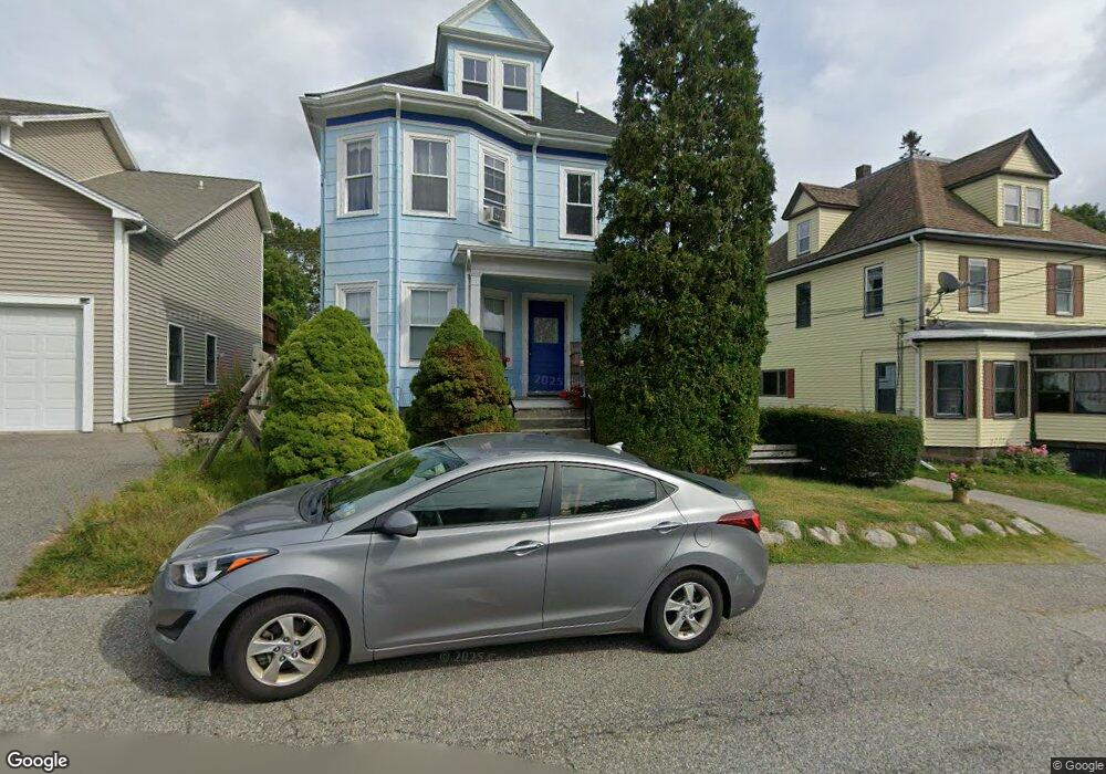
17 Dodge St Unit 1 Gloucester, MA 01930
Central Gloucester NeighborhoodEstimated Value: $626,000 - $713,000
1
Bed
1
Bath
700
Sq Ft
$967/Sq Ft
Est. Value
About This Home
This home is located at 17 Dodge St Unit 1, Gloucester, MA 01930 and is currently estimated at $676,737, approximately $966 per square foot. 17 Dodge St Unit 1 is a home located in Essex County with nearby schools including East Veterans Memorial Elementary, Ralph B O'maley Middle School, and Gloucester High School.
Ownership History
Date
Name
Owned For
Owner Type
Purchase Details
Closed on
Jul 12, 2021
Sold by
Moody Donald and Moody Janet S
Bought by
Moody 2021 T
Current Estimated Value
Purchase Details
Closed on
Jul 28, 1995
Sold by
Martin William T and Martin Molly
Bought by
Moody Donald and Moody Janet S
Create a Home Valuation Report for This Property
The Home Valuation Report is an in-depth analysis detailing your home's value as well as a comparison with similar homes in the area
Home Values in the Area
Average Home Value in this Area
Purchase History
| Date | Buyer | Sale Price | Title Company |
|---|---|---|---|
| Moody 2021 T | -- | None Available | |
| Moody Donald | $125,000 | -- |
Source: Public Records
Mortgage History
| Date | Status | Borrower | Loan Amount |
|---|---|---|---|
| Previous Owner | Moody Donald | $150,000 | |
| Previous Owner | Moody Donald | $85,000 | |
| Previous Owner | Moody Donald | $4,710 | |
| Previous Owner | Moody Donald | $80,000 |
Source: Public Records
Tax History Compared to Growth
Tax History
| Year | Tax Paid | Tax Assessment Tax Assessment Total Assessment is a certain percentage of the fair market value that is determined by local assessors to be the total taxable value of land and additions on the property. | Land | Improvement |
|---|---|---|---|---|
| 2025 | $5,554 | $571,400 | $138,100 | $433,300 |
| 2024 | $5,458 | $560,900 | $131,600 | $429,300 |
| 2023 | $5,640 | $532,600 | $117,500 | $415,100 |
| 2022 | $5,283 | $450,400 | $102,200 | $348,200 |
| 2021 | $5,109 | $410,700 | $92,900 | $317,800 |
| 2020 | $4,838 | $392,400 | $92,900 | $299,500 |
| 2019 | $4,491 | $353,900 | $92,900 | $261,000 |
| 2018 | $4,183 | $323,500 | $92,900 | $230,600 |
| 2017 | $3,932 | $298,100 | $83,700 | $214,400 |
| 2016 | $3,770 | $277,000 | $83,600 | $193,400 |
| 2015 | $3,698 | $270,900 | $83,600 | $187,300 |
Source: Public Records
Map
Nearby Homes
- 40 Sargent St
- 4 Mount Vernon St
- 22 Taylor St Unit 1
- 119 Pleasant St
- 160 Prospect St Unit 3
- 33 Maplewood Ave Unit 21
- 16 Cleveland Place Unit 11
- 78 Grove St
- 19 Mystic Ave
- 90 Middle St Unit L
- 191 Main St Unit 2B
- 191 Main St Unit 3
- 191 Main St Unit 2A
- 29 Harrison Ave
- 65 Poplar St
- 35 Middle St Unit 4
- 10 Amero Ct
- 33 Middle St
- 8 Summer St Unit 103
- 5 Washington Square