17 Donovan Way Dennis, MA 02638
Dennis Village NeighborhoodEstimated Value: $1,028,000 - $1,523,000
2
Beds
1
Bath
864
Sq Ft
$1,482/Sq Ft
Est. Value
About This Home
This home is located at 17 Donovan Way, Dennis, MA 02638 and is currently estimated at $1,280,445, approximately $1,481 per square foot. 17 Donovan Way is a home located in Barnstable County with nearby schools including Dennis-Yarmouth Regional High School.
Ownership History
Date
Name
Owned For
Owner Type
Purchase Details
Closed on
Nov 15, 1991
Sold by
Sweeney Thomas J
Bought by
Cole Kathleen D
Current Estimated Value
Create a Home Valuation Report for This Property
The Home Valuation Report is an in-depth analysis detailing your home's value as well as a comparison with similar homes in the area
Home Values in the Area
Average Home Value in this Area
Purchase History
| Date | Buyer | Sale Price | Title Company |
|---|---|---|---|
| Cole Kathleen D | $35,000 | -- | |
| Cole Kathleen D | $35,000 | -- |
Source: Public Records
Mortgage History
| Date | Status | Borrower | Loan Amount |
|---|---|---|---|
| Open | Cole Kathleen D | $167,425 | |
| Closed | Cole Kathleen D | $75,000 |
Source: Public Records
Tax History Compared to Growth
Tax History
| Year | Tax Paid | Tax Assessment Tax Assessment Total Assessment is a certain percentage of the fair market value that is determined by local assessors to be the total taxable value of land and additions on the property. | Land | Improvement |
|---|---|---|---|---|
| 2025 | $5,377 | $1,241,800 | $928,800 | $313,000 |
| 2024 | $5,131 | $1,168,900 | $893,200 | $275,700 |
| 2023 | $4,965 | $1,063,200 | $812,000 | $251,200 |
| 2022 | $5,137 | $917,400 | $731,500 | $185,900 |
| 2021 | $5,250 | $870,600 | $717,100 | $153,500 |
| 2020 | $5,228 | $857,000 | $717,100 | $139,900 |
| 2019 | $4,165 | $675,100 | $549,700 | $125,400 |
| 2018 | $4,054 | $639,400 | $523,200 | $116,200 |
| 2017 | $3,911 | $635,900 | $523,200 | $112,700 |
| 2016 | $4,013 | $614,500 | $517,200 | $97,300 |
| 2015 | $3,933 | $614,500 | $517,200 | $97,300 |
| 2014 | $3,747 | $590,100 | $492,800 | $97,300 |
Source: Public Records
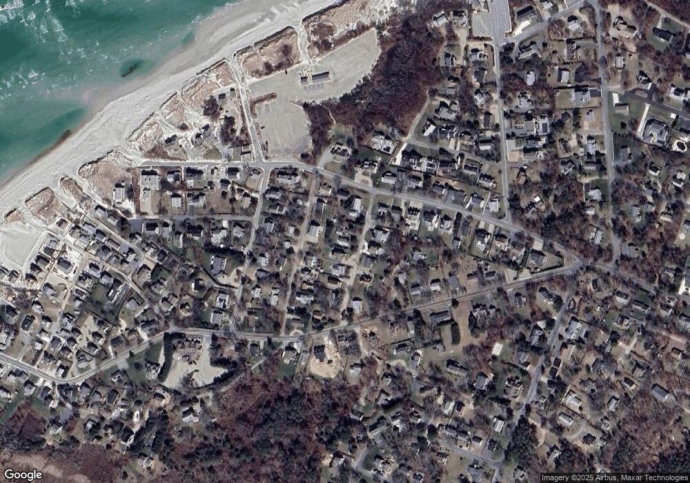
Map
Nearby Homes
- 69 Horsefoot Path
- 94 Horsefoot Path
- 25 Horsefoot Path
- 12 Dunes View Rd
- 7 Collins Ave
- 49 Rodoalph's Way
- 4 Spadoni Rd
- 4 Spadoni Way
- 156 Shore Dr
- 96 Shore Dr
- 37 Johnson Ln
- 7 Dolphin Way
- 73 Pilgrim Rd
- 19 Whig St
- 59 Hope Ln
- 19 Deacon Joseph Ln
- 645 Main St Back Lot
- 15 Signal Hill Dr
- 6 Thomas Ct
- 831 Main St
- 26 Coolidge Way
- 15 Donovan Way
- 22 Coolidge Way
- 18 Coolidge Way
- 28 Coolidge Way
- 53 Horsefoot Path
- 11 Donovan Way
- 51 Horsefoot Path
- 16 Coolidge Way
- 21 Coolidge Way
- 16 Donovan Way
- 22 Donovan Way
- 17 Coolidge Way
- 57 Horsefoot Path
- 12 Coolidge Way
- 9 Donovan Way
- 26 Wades Way
- 47 Horsefoot Path
- 10 Donovan Way
- 22 Wades Way