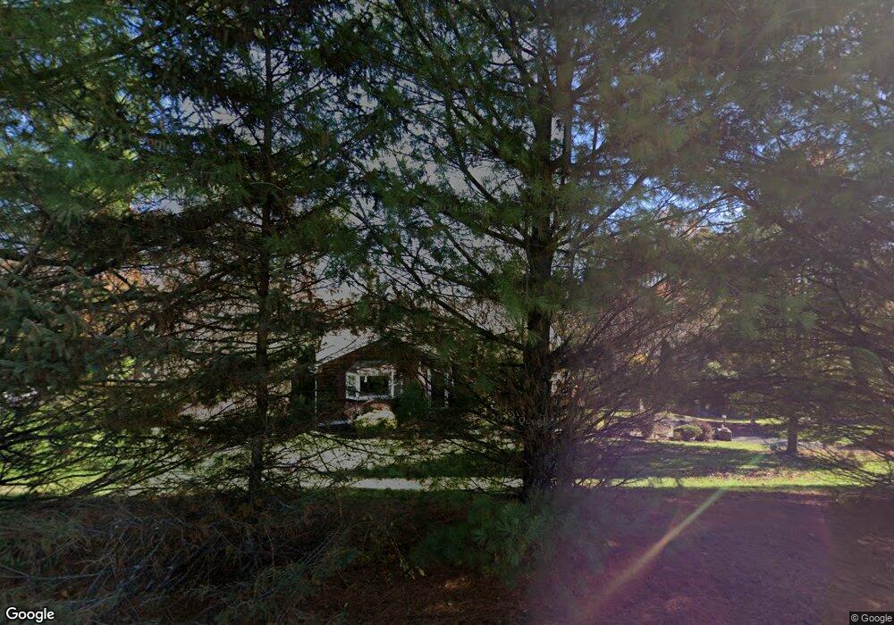
17 Drover Rd Brookfield, CT 06804
Estimated Value: $459,000 - $590,000
3
Beds
2
Baths
1,240
Sq Ft
$422/Sq Ft
Est. Value
About This Home
This home is located at 17 Drover Rd, Brookfield, CT 06804 and is currently estimated at $523,509, approximately $422 per square foot. 17 Drover Rd is a home located in Fairfield County with nearby schools including Center Elementary School, Whisconier Middle School, and Rio Mesa High School.
Ownership History
Date
Name
Owned For
Owner Type
Purchase Details
Closed on
Dec 10, 1999
Sold by
Mccurty Todd J and Mccurty Paula B
Bought by
Genovese Joseph M and Lingardo Lisa M
Current Estimated Value
Purchase Details
Closed on
Jul 2, 1998
Sold by
Vitale Louis A and Vitale Monica
Bought by
Mccurty Todd J and Mccurty Paula B
Purchase Details
Closed on
Jun 26, 1992
Sold by
Tobin William and Tobin Catherine
Bought by
Vitale Louis and Vitale Monica
Purchase Details
Closed on
Feb 2, 1987
Sold by
Walker Douglas
Bought by
Tobin Wm
Create a Home Valuation Report for This Property
The Home Valuation Report is an in-depth analysis detailing your home's value as well as a comparison with similar homes in the area
Home Values in the Area
Average Home Value in this Area
Purchase History
| Date | Buyer | Sale Price | Title Company |
|---|---|---|---|
| Genovese Joseph M | $182,000 | -- | |
| Genovese Joseph M | $182,000 | -- | |
| Mccurty Todd J | $180,250 | -- | |
| Mccurty Todd J | $180,250 | -- | |
| Vitale Louis | $164,000 | -- | |
| Tobin Wm | $165,600 | -- |
Source: Public Records
Mortgage History
| Date | Status | Borrower | Loan Amount |
|---|---|---|---|
| Open | Tobin Wm | $56,500 | |
| Open | Tobin Wm | $224,358 |
Source: Public Records
Tax History Compared to Growth
Tax History
| Year | Tax Paid | Tax Assessment Tax Assessment Total Assessment is a certain percentage of the fair market value that is determined by local assessors to be the total taxable value of land and additions on the property. | Land | Improvement |
|---|---|---|---|---|
| 2025 | $6,733 | $232,740 | $83,350 | $149,390 |
| 2024 | $6,493 | $232,740 | $83,350 | $149,390 |
| 2023 | $6,251 | $232,740 | $83,350 | $149,390 |
| 2022 | $6,023 | $232,740 | $83,350 | $149,390 |
| 2021 | $5,600 | $186,060 | $92,610 | $93,450 |
| 2020 | $5,517 | $186,060 | $92,610 | $93,450 |
| 2019 | $5,422 | $186,060 | $92,610 | $93,450 |
| 2018 | $5,273 | $186,060 | $92,610 | $93,450 |
| 2017 | $5,078 | $186,060 | $92,610 | $93,450 |
| 2016 | $4,932 | $186,800 | $100,800 | $86,000 |
| 2015 | $4,801 | $186,800 | $100,800 | $86,000 |
| 2014 | $4,801 | $186,800 | $100,800 | $86,000 |
Source: Public Records
Map
Nearby Homes
- 53 Tower Rd
- 4 Old Woods Rd
- 6 Old Woods Rd
- 48 High Ridge Rd
- 27 Obtuse Rd S
- 98A Tower Rd
- 23 Sunset Hill Rd
- 140 Whisconier Rd
- 5 Woodland Hills Terrace
- 8 Cherokee Dr
- 46 W Whisconier Rd
- 126 Stony Hill Rd
- 112 A Stony Hill Rd
- 4 Pond View Dr
- 70 Obtuse Hill Rd
- 19 A Apache Dr
- 24 Westview Ln Unit 24
- 23 Farrell Rd
- 11 Winding Rd
- 16 Farrell Rd