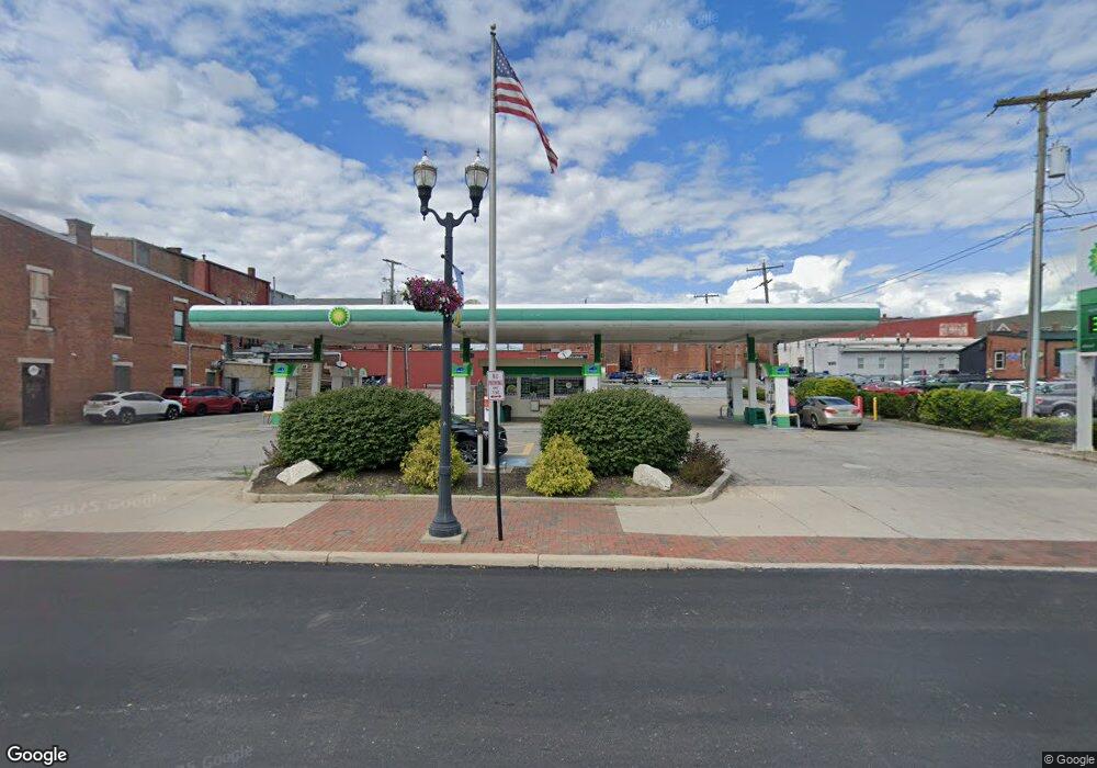
17 E William St Delaware, OH 43015
Estimated Value: $412,629
Studio
--
Bath
576
Sq Ft
$716/Sq Ft
Est. Value
About This Home
This home is located at 17 E William St, Delaware, OH 43015 and is currently estimated at $412,629, approximately $716 per square foot. 17 E William St is a home located in Delaware County with nearby schools including Laura Woodward Elementary School, John C. Dempsey Middle School, and Rutherford B. Hayes High School.
Ownership History
Date
Name
Owned For
Owner Type
Purchase Details
Closed on
Feb 27, 2008
Sold by
Bp Products North America Inc
Bought by
Petrohio Llc
Current Estimated Value
Home Financials for this Owner
Home Financials are based on the most recent Mortgage that was taken out on this home.
Original Mortgage
$200,000
Outstanding Balance
$123,051
Interest Rate
5.51%
Mortgage Type
Commercial
Estimated Equity
$289,578
Purchase Details
Closed on
Dec 31, 1997
Sold by
Service Station Holdings
Bought by
Bp Exploration & Oil Inc
Create a Home Valuation Report for This Property
The Home Valuation Report is an in-depth analysis detailing your home's value as well as a comparison with similar homes in the area
Home Values in the Area
Average Home Value in this Area
Purchase History
| Date | Buyer | Sale Price | Title Company |
|---|---|---|---|
| Petrohio Llc | $200,000 | Chicago Title | |
| Bp Exploration & Oil Inc | $150,000 | -- |
Source: Public Records
Mortgage History
| Date | Status | Borrower | Loan Amount |
|---|---|---|---|
| Open | Petrohio Llc | $200,000 |
Source: Public Records
Tax History
| Year | Tax Paid | Tax Assessment Tax Assessment Total Assessment is a certain percentage of the fair market value that is determined by local assessors to be the total taxable value of land and additions on the property. | Land | Improvement |
|---|---|---|---|---|
| 2024 | $3,579 | $64,540 | $17,920 | $46,620 |
| 2023 | $3,587 | $64,540 | $17,920 | $46,620 |
| 2022 | $3,436 | $52,920 | $14,630 | $38,290 |
| 2021 | $3,538 | $52,920 | $14,630 | $38,290 |
| 2020 | $3,622 | $52,920 | $14,630 | $38,290 |
| 2019 | $3,919 | $52,920 | $14,630 | $38,290 |
| 2018 | $4,007 | $52,920 | $14,630 | $38,290 |
| 2017 | $3,651 | $47,530 | $14,630 | $32,900 |
| 2016 | $3,301 | $47,530 | $14,630 | $32,900 |
| 2015 | $3,320 | $47,530 | $14,630 | $32,900 |
| 2014 | $3,399 | $47,530 | $14,630 | $32,900 |
| 2013 | $3,390 | $47,530 | $14,630 | $32,900 |
Source: Public Records
Map
Nearby Homes
- 63 Allenhurst Way
- 71 Allenhurst Way
- 73 Allenhurst Way
- 54 Allenhurst Way
- 115 W Central Ave
- 3035 Brian Way
- 3173 Brian Way
- 3058 Brian Way
- 103 Oak Hill Ave
- 102 W Lincoln Ave
- 323 Via Condotti Viaduct
- 0 Dildine Rd Unit 225015764
- 34 Prospect St
- 297 W William St
- 297 N Franklin St
- 0 N Liberty St
- 60 Oak St
- 41 Elmwood Dr
- 168 London Rd
- 63 Coldstone Ct
- 9 E William St
- 7 E William St
- 5 E William St
- 10 N Sandusky St Unit 100
- 10 N Sandusky St Unit 200
- 8 N Sandusky St
- 6 N Sandusky St
- 4 N Sandusky St
- 12 N Sandusky St
- 10 1/2 N Sandusky St Unit 2nd Floor
- 10 1/2 N Sandusky St Unit 210
- 9 U S 36
- 24 N Sandusky St
- 39 E William St
- 26 N Sandusky St
- 9 N Union St
- 28 E William St
- 30 N Sandusky St Unit 301
- 30 N Sandusky St
- 30 N Sandusky St Unit B
Your Personal Tour Guide
Ask me questions while you tour the home.