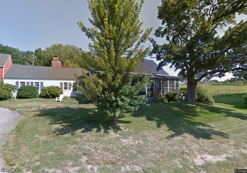
17 Eaton Rd Amherst, NH 03031
Estimated Value: $592,000 - $761,000
4
Beds
2
Baths
2,546
Sq Ft
$270/Sq Ft
Est. Value
About This Home
This home is located at 17 Eaton Rd, Amherst, NH 03031 and is currently estimated at $687,378, approximately $269 per square foot. 17 Eaton Rd is a home with nearby schools including Wilkins Elementary School, Amherst Middle School, and Souhegan Cooperative High School.
Create a Home Valuation Report for This Property
The Home Valuation Report is an in-depth analysis detailing your home's value as well as a comparison with similar homes in the area
Home Values in the Area
Average Home Value in this Area
Tax History Compared to Growth
Tax History
| Year | Tax Paid | Tax Assessment Tax Assessment Total Assessment is a certain percentage of the fair market value that is determined by local assessors to be the total taxable value of land and additions on the property. | Land | Improvement |
|---|---|---|---|---|
| 2024 | $10,626 | $463,400 | $150,300 | $313,100 |
| 2023 | $10,139 | $463,400 | $150,300 | $313,100 |
| 2022 | $9,792 | $463,400 | $150,300 | $313,100 |
| 2021 | $9,875 | $463,400 | $150,300 | $313,100 |
| 2020 | $9,962 | $349,800 | $120,300 | $229,500 |
| 2019 | $9,431 | $349,800 | $120,300 | $229,500 |
| 2018 | $9,525 | $349,800 | $120,300 | $229,500 |
| 2017 | $9,098 | $349,800 | $120,300 | $229,500 |
| 2016 | $8,780 | $349,800 | $120,300 | $229,500 |
| 2015 | $7,947 | $300,100 | $131,200 | $168,900 |
| 2014 | $8,001 | $300,100 | $131,200 | $168,900 |
| 2013 | $7,938 | $300,100 | $131,200 | $168,900 |
Source: Public Records
Map
Nearby Homes
- 67 Christian Hill Rd
- 4 Bloody Brook Rd
- 23 Bloody Brook Rd
- 80 Christian Hill Rd
- 1B Debbie Ln
- 3 Renee Dr
- 64 Lyndeborough Rd
- 135 Amherst St Unit 28
- 7 Miles Rd
- 17 Kittredge Rd
- 25 Atherton Ln
- 57 Patch Hill Ln
- 007-056 MacK Hill Rd
- 4 Trow Rd
- 51 Singer Brook Rd
- 229 Mont Vernon Rd
- 6 Whittemore Ln
- 2-47 Old Amherst Rd
- 7 Southview Dr
- 7 Dow Rd