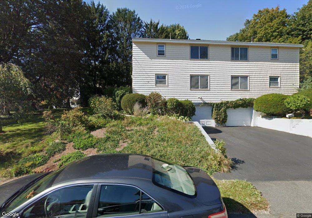
17 Eliot Rd Needham Heights, MA 02494
Estimated Value: $593,000 - $757,000
2
Beds
2
Baths
663
Sq Ft
$1,017/Sq Ft
Est. Value
About This Home
This home is located at 17 Eliot Rd, Needham Heights, MA 02494 and is currently estimated at $674,488, approximately $1,017 per square foot. 17 Eliot Rd is a home located in Norfolk County with nearby schools including Sunita L. Williams Elementary School, High Rock Middle School, and Pollard Middle School.
Create a Home Valuation Report for This Property
The Home Valuation Report is an in-depth analysis detailing your home's value as well as a comparison with similar homes in the area
Home Values in the Area
Average Home Value in this Area
Tax History Compared to Growth
Tax History
| Year | Tax Paid | Tax Assessment Tax Assessment Total Assessment is a certain percentage of the fair market value that is determined by local assessors to be the total taxable value of land and additions on the property. | Land | Improvement |
|---|---|---|---|---|
| 2025 | $5,213 | $491,800 | $0 | $491,800 |
| 2024 | $5,570 | $444,900 | $0 | $444,900 |
| 2023 | $5,632 | $431,900 | $0 | $431,900 |
| 2022 | $5,606 | $419,300 | $0 | $419,300 |
| 2021 | $5,305 | $407,100 | $0 | $407,100 |
| 2020 | $4,985 | $399,100 | $0 | $399,100 |
| 2019 | $4,847 | $391,200 | $0 | $391,200 |
| 2018 | $4,505 | $379,200 | $0 | $379,200 |
| 2017 | $4,415 | $371,300 | $0 | $371,300 |
| 2016 | $4,209 | $364,700 | $0 | $364,700 |
| 2015 | $4,000 | $354,300 | $0 | $354,300 |
| 2014 | $4,044 | $347,400 | $0 | $347,400 |
Source: Public Records
Map
Nearby Homes
- 34 Pershing Rd
- 3 Crescent Rd
- 445 Hillside Ave
- 35 Andrea Cir
- 379 Hunnewell St Unit 379
- 381 Hunnewell St Unit 381
- 403 Hunnewell St Unit 403
- 400 Hunnewell St Unit 103
- 132 Hillside Ave
- 12 Hill St
- 7 Avery St
- 443 Central Ave
- 98 Hunnewell St
- 556 Webster St
- 77 High St
- 36 Davenport Rd
- 345 Central Ave
- 62 Evelyn Rd
- 78 Hunnewell St
- 310 Oakland St