17 Elmo Ln Gloucester, MA 01930
West Gloucester NeighborhoodEstimated Value: $1,281,000 - $1,793,000
3
Beds
2
Baths
1,964
Sq Ft
$769/Sq Ft
Est. Value
About This Home
This home is located at 17 Elmo Ln, Gloucester, MA 01930 and is currently estimated at $1,510,807, approximately $769 per square foot. 17 Elmo Ln is a home located in Essex County with nearby schools including West Parish, Ralph B O'maley Middle School, and Gloucester High School.
Ownership History
Date
Name
Owned For
Owner Type
Purchase Details
Closed on
Jan 29, 1996
Sold by
Rutan Irene M
Bought by
Rutan Kim C
Current Estimated Value
Home Financials for this Owner
Home Financials are based on the most recent Mortgage that was taken out on this home.
Original Mortgage
$100,000
Interest Rate
7.13%
Mortgage Type
Purchase Money Mortgage
Create a Home Valuation Report for This Property
The Home Valuation Report is an in-depth analysis detailing your home's value as well as a comparison with similar homes in the area
Home Values in the Area
Average Home Value in this Area
Purchase History
| Date | Buyer | Sale Price | Title Company |
|---|---|---|---|
| Rutan Kim C | $125,000 | -- |
Source: Public Records
Mortgage History
| Date | Status | Borrower | Loan Amount |
|---|---|---|---|
| Open | Rutan Kim C | $155,000 | |
| Closed | Rutan Kim C | $145,000 | |
| Closed | Rutan Kim C | $100,000 |
Source: Public Records
Tax History
| Year | Tax Paid | Tax Assessment Tax Assessment Total Assessment is a certain percentage of the fair market value that is determined by local assessors to be the total taxable value of land and additions on the property. | Land | Improvement |
|---|---|---|---|---|
| 2025 | $12,876 | $1,324,700 | $773,200 | $551,500 |
| 2024 | $12,737 | $1,309,000 | $736,600 | $572,400 |
| 2023 | $11,944 | $1,127,900 | $628,400 | $499,500 |
| 2022 | $11,551 | $984,700 | $546,800 | $437,900 |
| 2021 | $11,141 | $895,600 | $496,800 | $398,800 |
| 2020 | $11,096 | $899,900 | $496,800 | $403,100 |
| 2019 | $10,675 | $841,200 | $473,700 | $367,500 |
| 2018 | $10,402 | $804,500 | $462,100 | $342,400 |
| 2017 | $10,086 | $764,700 | $439,900 | $324,800 |
| 2016 | $9,756 | $716,800 | $421,100 | $295,700 |
| 2015 | $9,483 | $694,700 | $411,500 | $283,200 |
Source: Public Records
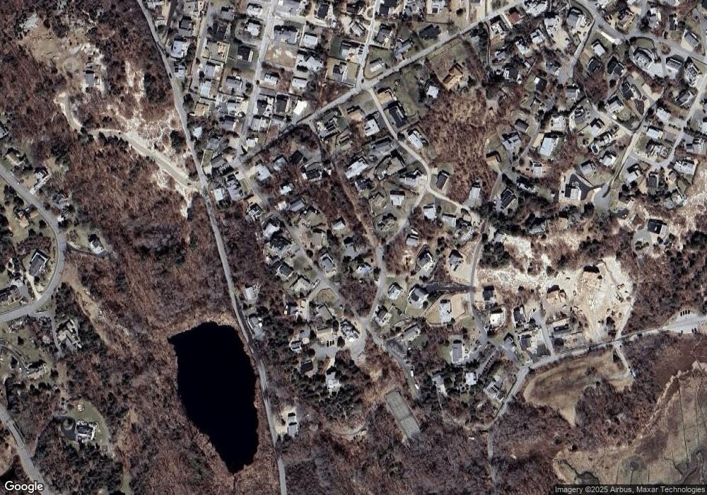
Map
Nearby Homes
- 226 Atlantic St
- 178 Atlantic St
- 167 Atlantic St
- 2 Breezy Point Rd
- 672 Washington St
- 13 Honeysuckle Rd
- 3 Deacon Farm Ln
- 31 Echo Ave
- 7 Colburn St
- 7 Leaman Dr
- 5 Samoset Rd Unit B
- 1030 Washington St
- 13 Mystic Ave
- 8 Mystic Ave
- 6 Monroe Ct
- 145 Essex Ave Unit 402
- 24 Cobblestone Ln Unit 603
- 5 Lepage Ln
- 368 Essex Ave
- 98 Maplewood Ave
Your Personal Tour Guide
Ask me questions while you tour the home.