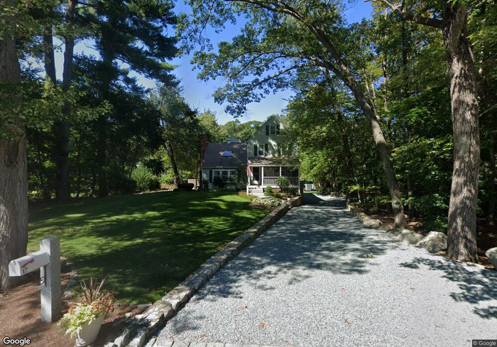
17 Flintlock Ridge Rd Cohasset, MA 02025
Estimated Value: $1,050,000 - $1,173,000
2
Beds
3
Baths
2,267
Sq Ft
$482/Sq Ft
Est. Value
About This Home
This home is located at 17 Flintlock Ridge Rd, Cohasset, MA 02025 and is currently estimated at $1,093,245, approximately $482 per square foot. 17 Flintlock Ridge Rd is a home located in Norfolk County with nearby schools including Joseph Osgood School, Deer Hill School, and Cohasset Middle School.
Ownership History
Date
Name
Owned For
Owner Type
Purchase Details
Closed on
Mar 11, 2025
Sold by
Astino Joseph and Astino Jeanne M
Bought by
Astino Ft and Astino
Current Estimated Value
Purchase Details
Closed on
Oct 6, 1989
Sold by
Tise Robert J
Bought by
Astino Joseph
Home Financials for this Owner
Home Financials are based on the most recent Mortgage that was taken out on this home.
Original Mortgage
$170,000
Interest Rate
10.12%
Mortgage Type
Purchase Money Mortgage
Create a Home Valuation Report for This Property
The Home Valuation Report is an in-depth analysis detailing your home's value as well as a comparison with similar homes in the area
Home Values in the Area
Average Home Value in this Area
Purchase History
| Date | Buyer | Sale Price | Title Company |
|---|---|---|---|
| Astino Ft | -- | None Available | |
| Astino Ft | -- | None Available | |
| Astino Joseph | $247,500 | -- | |
| Astino Joseph | $247,500 | -- |
Source: Public Records
Mortgage History
| Date | Status | Borrower | Loan Amount |
|---|---|---|---|
| Previous Owner | Astino Joseph | $182,000 | |
| Previous Owner | Astino Joseph | $180,000 | |
| Previous Owner | Astino Joseph | $170,000 | |
| Previous Owner | Astino Joseph | $170,000 |
Source: Public Records
Tax History Compared to Growth
Tax History
| Year | Tax Paid | Tax Assessment Tax Assessment Total Assessment is a certain percentage of the fair market value that is determined by local assessors to be the total taxable value of land and additions on the property. | Land | Improvement |
|---|---|---|---|---|
| 2025 | $10,266 | $886,500 | $437,100 | $449,400 |
| 2024 | $9,757 | $801,700 | $363,900 | $437,800 |
| 2023 | $9,297 | $787,900 | $350,100 | $437,800 |
| 2022 | $8,012 | $637,900 | $233,200 | $404,700 |
| 2021 | $7,887 | $604,800 | $233,200 | $371,600 |
| 2020 | $7,844 | $604,800 | $233,200 | $371,600 |
| 2019 | $7,802 | $604,800 | $233,200 | $371,600 |
| 2018 | $7,735 | $604,800 | $233,200 | $371,600 |
| 2017 | $7,592 | $581,300 | $222,100 | $359,200 |
| 2016 | $7,014 | $544,600 | $185,400 | $359,200 |
| 2015 | $6,922 | $544,600 | $185,400 | $359,200 |
| 2014 | $6,829 | $544,600 | $185,400 | $359,200 |
Source: Public Records
Map
Nearby Homes
- 508 Beechwood St
- 94 Arrowwood Dr
- 99 Doane St
- 0 Bates Ln (Lot E Kevin's Way) Unit 73419598
- 449 Clapp Rd
- 455 Clapp Rd
- 453 Clapp Rd
- 451 Clapp Rd
- 453 - 455 Clapp Rd
- 342 Summer St
- 40 Brewster Rd
- 8 Trudys Ln
- 84 Booth Hill Rd
- 334 Summer St
- 11 Forest Ln
- 9 Forest Ln Unit 9
- 46 Pond St
- 0 Mount Blue St
- 100 Pond St Unit 10
- 9 Kyle Path
- 9 Flintlock Ridge Rd
- 9 Flintlocke Ridge Rd
- 16 Flintlocke Ridge Rd
- 37 Church St
- 47 Church St
- 27 Flintlock Ridge Rd
- 45 Church St
- 57 Church St
- 20 Flintlock Ridge Rd
- 26 Flintlock Ridge Rd
- 41 Church St
- 8 Flintlock Ridge Rd
- 34 Flintlocke Ridge Rd
- 63 Church St
- 37 Aaron River Rd
- 52 Church St
- 71 Church St
- 53 Aaron River Rd
- 49 Aaron River Rd
- 46 Church St