17 Frost Ln Webster, NH 03303
Estimated Value: $482,000 - $610,000
3
Beds
2
Baths
2,156
Sq Ft
$248/Sq Ft
Est. Value
About This Home
This home is located at 17 Frost Ln, Webster, NH 03303 and is currently estimated at $533,854, approximately $247 per square foot. 17 Frost Ln is a home located in Merrimack County with nearby schools including Webster Elementary School, Merrimack Valley Middle School, and Merrimack Valley High School.
Ownership History
Date
Name
Owned For
Owner Type
Purchase Details
Closed on
Jun 21, 2018
Sold by
Nason Seldon E
Bought by
Huntington Sharon
Current Estimated Value
Purchase Details
Closed on
Mar 8, 1999
Sold by
Nason Seldon E
Bought by
Nason Seldon E and Nason Kim M
Home Financials for this Owner
Home Financials are based on the most recent Mortgage that was taken out on this home.
Original Mortgage
$72,000
Interest Rate
6.76%
Create a Home Valuation Report for This Property
The Home Valuation Report is an in-depth analysis detailing your home's value as well as a comparison with similar homes in the area
Home Values in the Area
Average Home Value in this Area
Purchase History
| Date | Buyer | Sale Price | Title Company |
|---|---|---|---|
| Huntington Sharon | $174,000 | -- | |
| Nason Seldon E | $90,000 | -- |
Source: Public Records
Mortgage History
| Date | Status | Borrower | Loan Amount |
|---|---|---|---|
| Previous Owner | Nason Seldon E | $200,000 | |
| Previous Owner | Nason Seldon E | $72,000 |
Source: Public Records
Tax History
| Year | Tax Paid | Tax Assessment Tax Assessment Total Assessment is a certain percentage of the fair market value that is determined by local assessors to be the total taxable value of land and additions on the property. | Land | Improvement |
|---|---|---|---|---|
| 2025 | $7,837 | $464,300 | $126,500 | $337,800 |
| 2024 | $7,020 | $452,000 | $126,500 | $325,500 |
| 2023 | $6,726 | $452,000 | $126,500 | $325,500 |
| 2022 | $6,832 | $299,000 | $99,000 | $200,000 |
| 2021 | $5,439 | $244,000 | $99,000 | $145,000 |
| 2020 | $6,964 | $214,700 | $99,000 | $115,700 |
| 2019 | $6,961 | $214,700 | $99,000 | $115,700 |
| 2018 | $4,625 | $214,700 | $99,000 | $115,700 |
| 2017 | $6,743 | $172,500 | $59,500 | $113,000 |
| 2016 | $3,841 | $167,200 | $59,500 | $107,700 |
| 2015 | $4,106 | $170,500 | $62,800 | $107,700 |
| 2014 | $3,869 | $170,500 | $62,800 | $107,700 |
| 2013 | $3,705 | $170,500 | $62,800 | $107,700 |
Source: Public Records
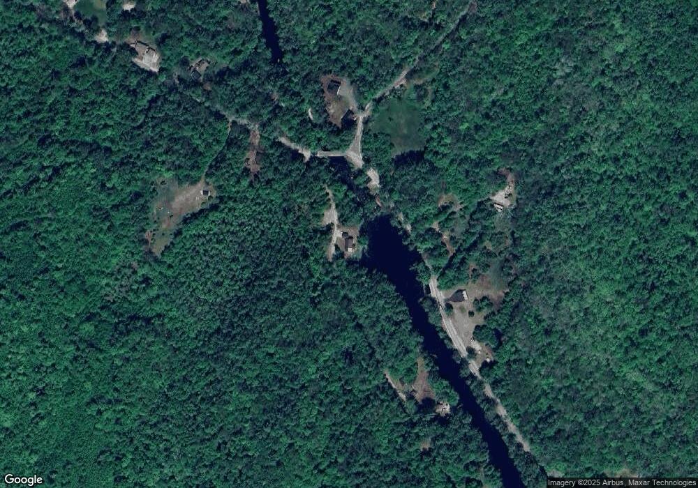
Map
Nearby Homes
- 7 Cashell Ln
- 122 Centennial Dr
- Map 10 Dr
- 547 Tyler Rd
- 110 New Hampshire Dr
- 11 White Plains Rd
- 110 Pearson Hill Rd
- 298 Battle St
- 00 Deer Meadow Rd Unit 26
- 25 Merrill Corner Rd
- 293 Queen St
- 155 Pamela Dr
- 297 Queen St
- 5 Pamela Dr
- Map 03 Lot 89 Route 127
- 4 Rosue Dr
- 19 Bailey Dr
- 15 Suffolk Dr Unit 5
- 15 Suffolk Dr Unit 3
- 231 Mutton Rd
- 0 Detour Rd
- 1 Frost Ln
- 177 Clothespin Bridge Rd
- 00 Frost Ln Unit Map 12/Lot 3
- 153 Clothespin Bridge Rd
- 5 Detour Rd
- 43 Frost Ln
- 0 Clothespin Bridge Rd
- 172 Clothespin Bridge Rd
- 201 Clothespin Bridge Rd
- 139 Clothespin Bridge Rd
- 49 Frost Ln
- 165 Frost Ln
- 0 Frost Ln
- 144 Clothespin Bridge Rd
- 192 Clothespin Bridge Rd
- 23 Cashell Ln
- 196 Clothespin Bridge Rd
- 17 Cashell Ln
- 15 Cashell Ln
Your Personal Tour Guide
Ask me questions while you tour the home.