17 George Rd West Middlesex, PA 16159
Estimated Value: $144,000 - $191,000
--
Bed
--
Bath
--
Sq Ft
4.56
Acres
About This Home
This home is located at 17 George Rd, West Middlesex, PA 16159 and is currently estimated at $174,387. 17 George Rd is a home located in Mercer County with nearby schools including Oakview Elementary School, Luther W Low Elementary School, and West Middlesex Junior/Senior High School.
Ownership History
Date
Name
Owned For
Owner Type
Purchase Details
Closed on
Nov 3, 2025
Sold by
Campbell Candise L and Powell Candise L
Bought by
Campbell Candise L
Current Estimated Value
Purchase Details
Closed on
Dec 5, 2006
Sold by
Lineberger Roger A and Lineberger Beverly M
Bought by
Powell Candise L and Campbell Michael E G
Home Financials for this Owner
Home Financials are based on the most recent Mortgage that was taken out on this home.
Original Mortgage
$101,408
Interest Rate
6.4%
Mortgage Type
FHA
Create a Home Valuation Report for This Property
The Home Valuation Report is an in-depth analysis detailing your home's value as well as a comparison with similar homes in the area
Home Values in the Area
Average Home Value in this Area
Purchase History
| Date | Buyer | Sale Price | Title Company |
|---|---|---|---|
| Campbell Candise L | -- | None Listed On Document | |
| Powell Candise L | $103,000 | None Available |
Source: Public Records
Mortgage History
| Date | Status | Borrower | Loan Amount |
|---|---|---|---|
| Previous Owner | Powell Candise L | $101,408 |
Source: Public Records
Tax History Compared to Growth
Tax History
| Year | Tax Paid | Tax Assessment Tax Assessment Total Assessment is a certain percentage of the fair market value that is determined by local assessors to be the total taxable value of land and additions on the property. | Land | Improvement |
|---|---|---|---|---|
| 2025 | $1,658 | $14,700 | $2,400 | $12,300 |
| 2024 | $1,658 | $14,700 | $2,400 | $12,300 |
| 2023 | $1,606 | $14,700 | $2,400 | $12,300 |
| 2022 | $1,592 | $14,700 | $2,400 | $12,300 |
| 2021 | $1,567 | $14,700 | $2,400 | $12,300 |
| 2020 | $1,567 | $14,700 | $2,400 | $12,300 |
| 2019 | $1,514 | $14,700 | $2,400 | $12,300 |
| 2018 | $1,481 | $14,700 | $2,400 | $12,300 |
| 2017 | $1,459 | $14,700 | $2,400 | $12,300 |
| 2016 | -- | $14,700 | $2,400 | $12,300 |
| 2015 | -- | $14,700 | $2,400 | $12,300 |
| 2014 | -- | $14,700 | $2,400 | $12,300 |
Source: Public Records
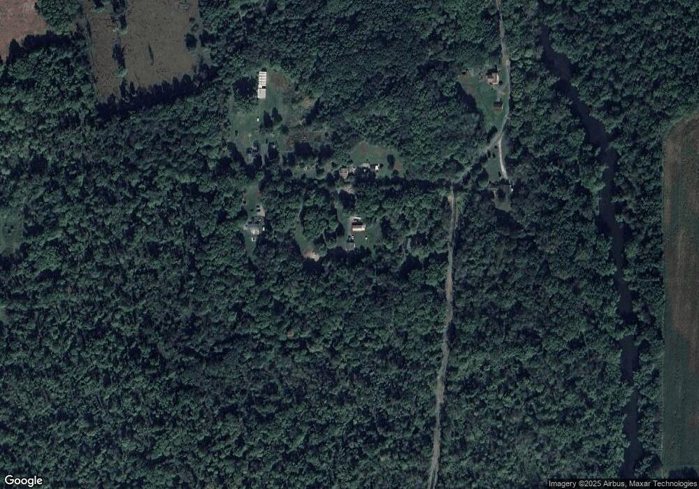
Map
Nearby Homes
- 0 Sr-318 & Executive Ct Unit 1725969
- Lot 28 Wheatland Rd
- 00 Lilac Dr
- 3134 Main St Unit 180
- 774 Wheatland Rd
- 3404 Hubbard-Middlesex Rd
- 3406 New Castle Rd
- 400 Oak Hill Rd
- 2801 Mercer West Middlesex Rd
- 940 Wheatland Rd
- 3070 Spangler Rd
- 2997 Spangler Rd
- 88 Fetsko Rd
- 2617 S Hermitage Rd
- 8240 Mercer St
- 1 Grandview Dr
- 1946 State Route 208
- 11 Clubhouse Dr
- 2489 Maria Ln
- 2341 S Hermitage Rd
- 310 Campground Rd
- 14 George Rd
- 20 George Rd
- 31 George Rd
- 34 George Rd
- 301 Campground Rd
- 286 Campground Rd
- 264 Campground Rd
- 256 Campground Rd
- 0 Sr-318 & Executive Ct Unit 1676187
- 0 Sr-318 & Executive Ct Unit 1676197
- 0 Mercer-W Middlesex Rd 318 Unit 1649603
- 0 Sr-318 Lot2 & Exec Ct Unit 1606435
- 0 Sr-318 & T-419 Unit 1603432
- 0 Habarka Rd 32 2 Acres M L Unit 1618542
- 0 Sr-318 Lot2 & Exec Ct Unit 1606439
- 0 Sr-318 & T-419 Unit 1603434
- 0 Mercer-W Middlesex Rd 318 Unit 1596481
- 4789 Seneca Rd
- 97 Farkas Rd