17 Greenwood Ave West Union, OH 45693
Estimated Value: $53,000 - $68,000
3
Beds
2
Baths
1,248
Sq Ft
$46/Sq Ft
Est. Value
About This Home
This home is located at 17 Greenwood Ave, West Union, OH 45693 and is currently estimated at $57,916, approximately $46 per square foot. 17 Greenwood Ave is a home located in Adams County with nearby schools including West Union Elementary School, West Union High School, and Adams County Christian School.
Ownership History
Date
Name
Owned For
Owner Type
Purchase Details
Closed on
Dec 18, 2024
Bought by
Slocum Brandon and Slocum Katlyn
Current Estimated Value
Home Financials for this Owner
Home Financials are based on the most recent Mortgage that was taken out on this home.
Original Mortgage
$41,250
Outstanding Balance
$40,501
Interest Rate
6.78%
Mortgage Type
New Conventional
Estimated Equity
$17,415
Purchase Details
Closed on
Sep 17, 2024
Sold by
Sibley Matthew Paul
Bought by
Palmer Family Trust and Palmer
Purchase Details
Closed on
Sep 25, 2003
Bought by
Palmer Sharon A
Purchase Details
Closed on
Sep 11, 2003
Bought by
Palmer Sharon A Trustee
Purchase Details
Closed on
Aug 7, 2001
Sold by
Francis Oma L
Bought by
Francis Oma L Trustee
Purchase Details
Closed on
Jun 27, 1997
Bought by
Kirk Jackie A
Create a Home Valuation Report for This Property
The Home Valuation Report is an in-depth analysis detailing your home's value as well as a comparison with similar homes in the area
Home Values in the Area
Average Home Value in this Area
Purchase History
| Date | Buyer | Sale Price | Title Company |
|---|---|---|---|
| Slocum Brandon | $55,000 | None Listed On Document | |
| Palmer Family Trust | $63,800 | None Listed On Document | |
| Palmer Sharon A | -- | -- | |
| Palmer Sharon A Trustee | -- | -- | |
| Francis Oma L Trustee | -- | -- | |
| Kirk Jackie A | -- | -- |
Source: Public Records
Mortgage History
| Date | Status | Borrower | Loan Amount |
|---|---|---|---|
| Open | Slocum Brandon | $41,250 |
Source: Public Records
Tax History Compared to Growth
Tax History
| Year | Tax Paid | Tax Assessment Tax Assessment Total Assessment is a certain percentage of the fair market value that is determined by local assessors to be the total taxable value of land and additions on the property. | Land | Improvement |
|---|---|---|---|---|
| 2024 | $837 | $22,330 | $4,270 | $18,060 |
| 2023 | $842 | $22,330 | $4,270 | $18,060 |
| 2022 | $769 | $17,680 | $3,220 | $14,460 |
| 2021 | $659 | $17,680 | $3,220 | $14,460 |
| 2020 | $673 | $17,680 | $3,220 | $14,460 |
| 2019 | $674 | $17,680 | $3,220 | $14,460 |
| 2018 | $648 | $16,350 | $3,220 | $13,130 |
| 2017 | $639 | $16,350 | $3,220 | $13,130 |
| 2016 | $638 | $16,350 | $3,220 | $13,130 |
| 2015 | $623 | $16,460 | $3,330 | $13,130 |
| 2014 | $623 | $16,460 | $3,330 | $13,130 |
Source: Public Records
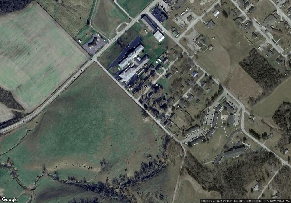
Map
Nearby Homes
- 40 Greenwood Ave
- 81 Evergreen St
- 0 Cic Blvd
- 4423 Pumpkin Ridge Rd
- 144 ac Pumpkin Ridge Rd
- 9598 State Route 41
- 0 State Route 41 1 Acre Lot
- 271 Crawford Rd
- 714 Panhandle Ave
- 286 & 290 S Market St
- 333 Crawford Rd
- 408 W South St
- 101 S Mound St
- 305 W Walnut St
- 4700 Ohio 247
- 216 S Market St
- 302 W Main St
- 12196 State Route 41
- 585 High St
- 537 1st St
- 33 Greenwood Ave
- 16 Greenwood Ave
- 26 Greenwood Ave
- 45 Greenwood Ave
- 160 Mchenry Rd
- 30 Newstedt Ave
- 15 Newstedt Ave
- 50 Newstedt Ave
- 77 Greenwood Ave
- 33 Newstedt Ave
- 80 Greenwood Ave
- 45 Newstedt Ave
- 60 Newstedt Ave
- 63 Newstedt Ave
- 67 Greenwood Ave
- 80 Newstedt Ave
- 100 Greenwood Ave
- 77 Newstedt Ave
- 100 Newstedt Ave
- 99 Newstedt Ave