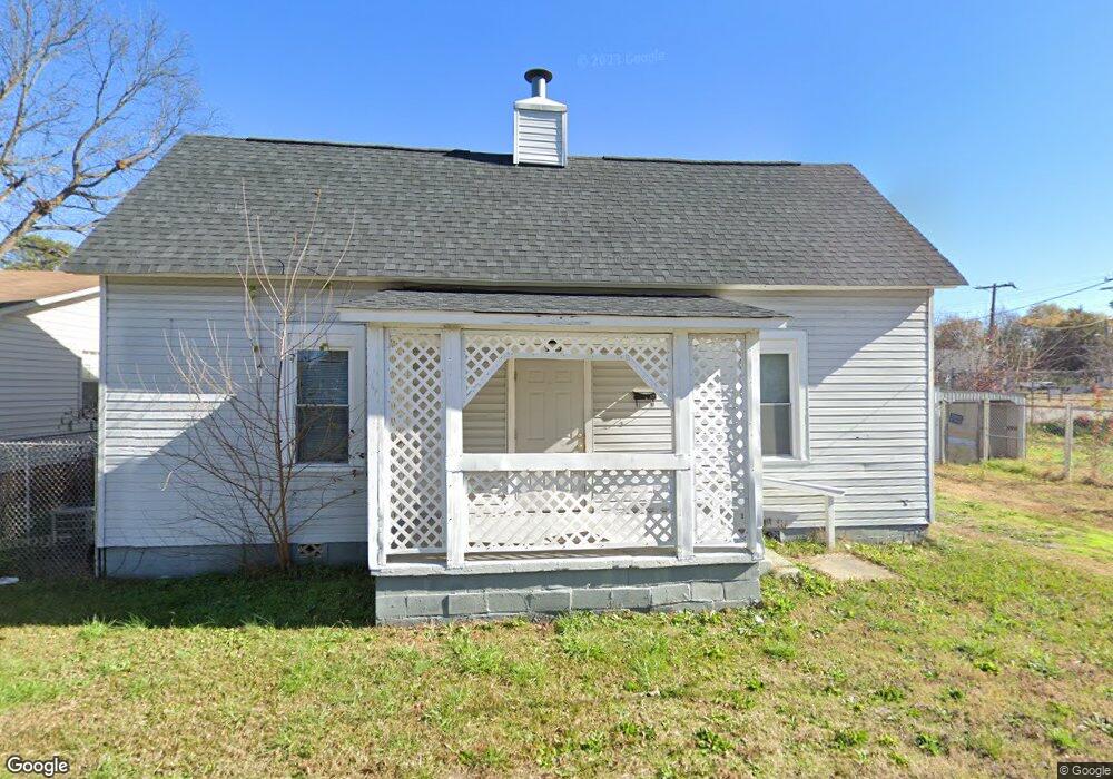
17 Harris St Anderson, SC 29624
Estimated Value: $56,000 - $202,000
2
Beds
1
Bath
1,000
Sq Ft
$101/Sq Ft
Est. Value
About This Home
This home is located at 17 Harris St, Anderson, SC 29624 and is currently estimated at $101,065, approximately $101 per square foot. 17 Harris St is a home located in Anderson County with nearby schools including Varennes Elementary School, Robert Anderson Middle School, and Westside High School.
Ownership History
Date
Name
Owned For
Owner Type
Purchase Details
Closed on
Nov 3, 2014
Sold by
J&K Peak Properties Llc
Bought by
Iadonisi Marguerite Kathy
Current Estimated Value
Purchase Details
Closed on
Oct 22, 2007
Sold by
Wells Fargo Bank
Bought by
J & K Peak Properties Llc
Purchase Details
Closed on
May 7, 2007
Sold by
Bank Of America Na
Bought by
Wells Fargo Bank and Boa Alt 2003-9
Purchase Details
Closed on
Mar 15, 2007
Sold by
Macon David L and Macon Denise A
Bought by
Bank Of America Na
Purchase Details
Closed on
Sep 13, 2002
Sold by
Clinkscales Thelma
Bought by
Macon David L
Create a Home Valuation Report for This Property
The Home Valuation Report is an in-depth analysis detailing your home's value as well as a comparison with similar homes in the area
Home Values in the Area
Average Home Value in this Area
Purchase History
| Date | Buyer | Sale Price | Title Company |
|---|---|---|---|
| Iadonisi Marguerite Kathy | $16,840 | -- | |
| J & K Peak Properties Llc | $16,300 | None Available | |
| Wells Fargo Bank | -- | None Available | |
| Bank Of America Na | $10,000 | None Available | |
| Macon David L | $30,500 | -- | |
| Sexton Sean L | $82,475 | -- |
Source: Public Records
Tax History Compared to Growth
Tax History
| Year | Tax Paid | Tax Assessment Tax Assessment Total Assessment is a certain percentage of the fair market value that is determined by local assessors to be the total taxable value of land and additions on the property. | Land | Improvement |
|---|---|---|---|---|
| 2024 | $438 | $1,100 | $300 | $800 |
| 2023 | $438 | $1,100 | $300 | $800 |
| 2022 | $400 | $1,100 | $300 | $800 |
| 2021 | $374 | $920 | $210 | $710 |
| 2020 | $367 | $920 | $210 | $710 |
| 2019 | $362 | $920 | $210 | $710 |
| 2018 | $362 | $920 | $210 | $710 |
| 2017 | -- | $920 | $210 | $710 |
| 2016 | $385 | $1,010 | $180 | $830 |
| 2015 | $386 | $1,010 | $180 | $830 |
| 2014 | $376 | $1,010 | $180 | $830 |
Source: Public Records
Map
Nearby Homes
- 16 N Prince St
- 6 Herring Ave
- 1606 S Murray Avenue Extension
- 46 S Lyons St
- 1619 Nardin Ave
- 1502 Nardin Ave
- 1609 S Mcduffie St
- 1709 Lyndon Ave
- 1413 S Mcduffie St
- 1616 Meadowbrook Cir
- 1411 S Mcduffie St
- 1609 Lyndon Ave
- 612 Martha Dr
- 302 Fallstaff St
- 310 W Hampton St
- 308 W Hampton St
- 1510 S Fant St
- 1103 Scott Dr
- 421 Valentine St
- Lot 1 S Towers St