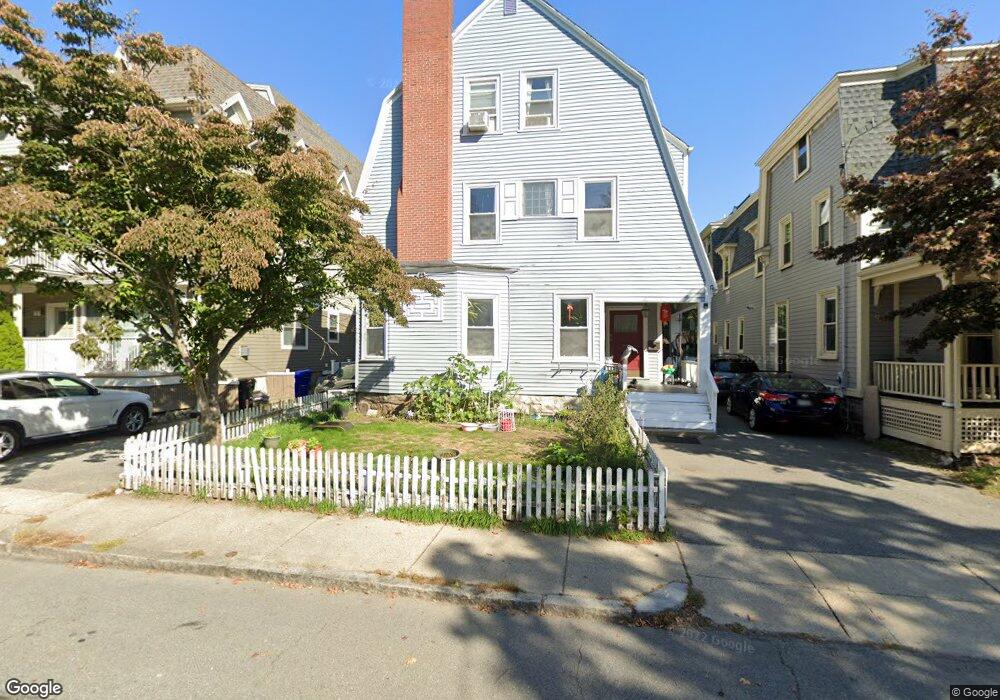
17 Harris St Brookline, MA 02446
Coolidge Corner NeighborhoodEstimated Value: $2,559,000 - $3,260,000
6
Beds
3
Baths
3,402
Sq Ft
$828/Sq Ft
Est. Value
About This Home
This home is located at 17 Harris St, Brookline, MA 02446 and is currently estimated at $2,815,905, approximately $827 per square foot. 17 Harris St is a home located in Norfolk County with nearby schools including Pierce School, Brookline High School, and St. Mary of the Assumption Elementary School.
Ownership History
Date
Name
Owned For
Owner Type
Purchase Details
Closed on
Nov 10, 2011
Sold by
Dodson Marianne and Dodson David
Bought by
Pan Ye and Shi Bin
Current Estimated Value
Purchase Details
Closed on
Feb 24, 2011
Sold by
Dodson Marianne
Bought by
Dodson David and Dodson Marianne
Purchase Details
Closed on
Nov 21, 1990
Sold by
Susan P Est Babcock
Bought by
Dodson David
Home Financials for this Owner
Home Financials are based on the most recent Mortgage that was taken out on this home.
Original Mortgage
$220,000
Interest Rate
10.19%
Mortgage Type
Purchase Money Mortgage
Create a Home Valuation Report for This Property
The Home Valuation Report is an in-depth analysis detailing your home's value as well as a comparison with similar homes in the area
Home Values in the Area
Average Home Value in this Area
Purchase History
| Date | Buyer | Sale Price | Title Company |
|---|---|---|---|
| Pan Ye | $1,010,000 | -- | |
| Dodson David | -- | -- | |
| Dodson David | $27,500 | -- |
Source: Public Records
Mortgage History
| Date | Status | Borrower | Loan Amount |
|---|---|---|---|
| Previous Owner | Dodson David | $213,000 | |
| Previous Owner | Dodson David | $220,000 |
Source: Public Records
Tax History Compared to Growth
Tax History
| Year | Tax Paid | Tax Assessment Tax Assessment Total Assessment is a certain percentage of the fair market value that is determined by local assessors to be the total taxable value of land and additions on the property. | Land | Improvement |
|---|---|---|---|---|
| 2025 | $22,663 | $2,296,200 | $1,148,400 | $1,147,800 |
| 2024 | $21,548 | $2,205,500 | $1,104,300 | $1,101,200 |
| 2023 | $19,847 | $1,990,700 | $912,600 | $1,078,100 |
| 2022 | $19,319 | $1,895,900 | $869,100 | $1,026,800 |
| 2021 | $17,865 | $1,823,000 | $835,700 | $987,300 |
| 2020 | $16,366 | $1,731,900 | $759,700 | $972,200 |
| 2019 | $15,455 | $1,649,400 | $723,500 | $925,900 |
| 2018 | $14,066 | $1,486,900 | $573,800 | $913,100 |
| 2017 | $13,859 | $1,402,700 | $541,300 | $861,400 |
| 2016 | $13,661 | $1,311,000 | $505,900 | $805,100 |
| 2015 | $12,724 | $1,191,400 | $429,800 | $761,600 |
| 2014 | $12,882 | $1,131,000 | $390,700 | $740,300 |
Source: Public Records
Map
Nearby Homes
- 19 Harris St Unit 2
- 24 Auburn St Unit 1
- 24 Auburn St Unit 3
- 24 Auburn St Unit 2
- 5 Auburn Ct Unit 1
- 181 Harvard St
- 80 Park St Unit 55
- 80 Park St Unit 23
- 64 Aspinwall Ave Unit 1
- 17 Park Vale Unit 3
- 80 Vernon St Unit 1-A
- 80 Vernon St Unit 2A
- 80 Vernon St Unit PHA
- 125 Park St Unit 6
- 455 Washington St Unit 2
- 471 Washington St Unit B
- 89 Marion St
- 37 Saint Paul St Unit 3
- 500 Washington St Unit 2
- 9 Greenough St
- 17 Harris St
- 17 Harris St Unit 2
- 19 Harris St
- 19 Harris St Unit 5
- 19 Harris St Unit 1
- 11 Harris St Unit 1
- 21 Harris St
- 21 Harris St Unit 1
- 21 Harris St Unit 613
- 34 Harris St Unit 2
- 34 Harris St Unit 1
- 34 Harris St Unit 5
- 160 Harvard St
- 160 Harvard St Unit 5
- 10-12 Vernon St Unit 205
- 10-12 Vernon St Unit 304
- 10-12 Vernon St Unit 203
- 10-12 Vernon St Unit 201
- 10-12 Vernon St Unit 303
- 10-12 Vernon St Unit V1