17 Heather Cir Fryeburg, ME 04037
Estimated Value: $102,000 - $460,000
3
Beds
2
Baths
2,511
Sq Ft
$143/Sq Ft
Est. Value
About This Home
This home is located at 17 Heather Cir, Fryeburg, ME 04037 and is currently estimated at $358,360, approximately $142 per square foot. 17 Heather Cir is a home located in Oxford County with nearby schools including Molly Ockett School and Molly Ockett Middle School.
Ownership History
Date
Name
Owned For
Owner Type
Purchase Details
Closed on
Sep 13, 2022
Sold by
Buonomo Tammy E
Bought by
Buonomo Tammy E and Buonomo Michael R
Current Estimated Value
Purchase Details
Closed on
Nov 30, 2010
Sold by
Miller Terence W and Miller Linda I
Bought by
Buonomo Tammy E
Home Financials for this Owner
Home Financials are based on the most recent Mortgage that was taken out on this home.
Original Mortgage
$190,056
Interest Rate
4.25%
Mortgage Type
FHA
Create a Home Valuation Report for This Property
The Home Valuation Report is an in-depth analysis detailing your home's value as well as a comparison with similar homes in the area
Home Values in the Area
Average Home Value in this Area
Purchase History
| Date | Buyer | Sale Price | Title Company |
|---|---|---|---|
| Buonomo Tammy E | -- | None Available | |
| Buonomo Tammy E | -- | -- |
Source: Public Records
Mortgage History
| Date | Status | Borrower | Loan Amount |
|---|---|---|---|
| Previous Owner | Buonomo Tammy E | $190,056 |
Source: Public Records
Tax History Compared to Growth
Tax History
| Year | Tax Paid | Tax Assessment Tax Assessment Total Assessment is a certain percentage of the fair market value that is determined by local assessors to be the total taxable value of land and additions on the property. | Land | Improvement |
|---|---|---|---|---|
| 2024 | $3,851 | $282,160 | $43,460 | $238,700 |
| 2023 | $3,521 | $213,420 | $31,220 | $182,200 |
| 2022 | $3,265 | $213,400 | $31,200 | $182,200 |
| 2021 | $3,308 | $213,400 | $31,200 | $182,200 |
| 2020 | $3,457 | $213,400 | $31,200 | $182,200 |
| 2019 | $3,058 | $181,995 | $45,240 | $136,755 |
| 2018 | $3,597 | $203,799 | $45,240 | $158,559 |
| 2017 | $3,383 | $203,799 | $45,240 | $158,559 |
| 2016 | $3,311 | $204,359 | $45,800 | $158,559 |
| 2015 | $3,270 | $204,359 | $45,800 | $158,559 |
| 2014 | $3,290 | $204,359 | $45,800 | $158,559 |
Source: Public Records
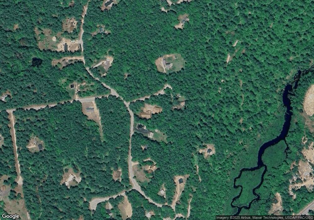
Map
Nearby Homes
- 1376 Bridgton Rd
- Map20Lot19 Carter Hill Rd
- 28 Colony Ln
- 952 Denmark Rd
- 144 Kezar Heights
- 97 Kezar Heights
- 4 Mountain Rd Unit 4
- 5 Elk Ln
- 188 Knights Hill Rd
- 11 Campbell Dr
- 10 N Bay Rd
- 14 Trailside Way Unit 14
- 14 Trailside Way
- 6 E Pinnacle Rd Unit 6
- 141 Long Pond Dr
- 62-B Long Pond Dr
- 294 Hio Ridge Shores S
- 247 Smarts Hill Rd
- 632 Rocky Knoll Rd
- 0 N High St
- 3 Heather Cir
- 2 S Elkins Brook Rd
- 21 Heather Cir
- 16 S Elkins Brook Rd
- 16 S Elkins Brook Rd
- 20 S Elkins Brook Rd
- 0 N Elkins Brook Rd Unit 865966
- 0 N Elkins Brook Rd Unit 221651
- 0 Elkins Brook Unit 899729
- 0 N Elkins Brook Rd Unit 980563
- 57 Carter Hill Rd
- 28 S Elkins Brook Rd
- 29 Glenda Cir
- 31 Glenda Cir
- 103 Sanborn Rd
- Lot 10-3 Bakers Cir
- 3 Baker Cir
- 57 S South Elkins Brook Rd
- 61 S Elkins Brook Rd
- 20 Glenda Cir