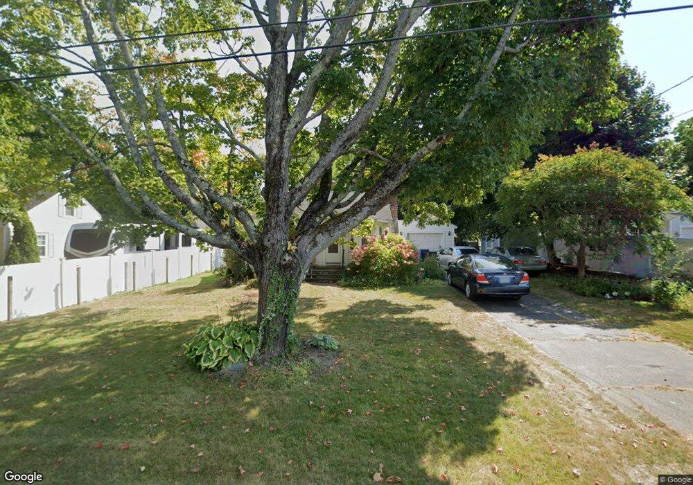
17 Hobbs Rd Hampton, NH 03842
Estimated Value: $477,486 - $538,000
2
Beds
1
Bath
744
Sq Ft
$673/Sq Ft
Est. Value
About This Home
This home is located at 17 Hobbs Rd, Hampton, NH 03842 and is currently estimated at $500,622, approximately $672 per square foot. 17 Hobbs Rd is a home located in Rockingham County with nearby schools including Hampton Centre School, Adeline C. Marston Elementary School, and Hampton Academy.
Ownership History
Date
Name
Owned For
Owner Type
Purchase Details
Closed on
Apr 2, 2014
Sold by
Plumpton Mark H
Bought by
Plumpton Mark H and Cho Hee S
Current Estimated Value
Create a Home Valuation Report for This Property
The Home Valuation Report is an in-depth analysis detailing your home's value as well as a comparison with similar homes in the area
Home Values in the Area
Average Home Value in this Area
Purchase History
| Date | Buyer | Sale Price | Title Company |
|---|---|---|---|
| Plumpton Mark H | -- | -- |
Source: Public Records
Tax History
| Year | Tax Paid | Tax Assessment Tax Assessment Total Assessment is a certain percentage of the fair market value that is determined by local assessors to be the total taxable value of land and additions on the property. | Land | Improvement |
|---|---|---|---|---|
| 2025 | $4,556 | $369,800 | $211,100 | $158,700 |
| 2024 | $4,556 | $369,800 | $211,100 | $158,700 |
| 2023 | $4,270 | $254,900 | $140,700 | $114,200 |
| 2022 | $4,038 | $254,900 | $140,700 | $114,200 |
| 2021 | $4,038 | $254,900 | $140,700 | $114,200 |
| 2020 | $4,057 | $254,700 | $140,700 | $114,000 |
| 2019 | $4,078 | $254,700 | $140,700 | $114,000 |
| 2018 | $4,046 | $237,700 | $128,000 | $109,700 |
| 2017 | $3,891 | $237,700 | $128,000 | $109,700 |
| 2016 | $3,822 | $237,700 | $128,000 | $109,700 |
Source: Public Records
Map
Nearby Homes
- 10 Mcdermott Rd
- 78 Dearborn Ave
- 6 Rice Terrace
- 407 Lafayette Rd
- 36 Milbern Ave
- 3 Playhouse Cir
- 2 Hilliard Dr
- 27 Dunvegan Woods
- 29 Thorwald Ave
- 60 Hampton Meadows
- none None
- 11 Redman St
- 550 Winnacunnet Rd Unit 318
- 550 Winnacunnet Rd Unit 218
- 7 Redman St
- 558 Winnacunnet Rd
- 16 Bruce St
- 745 Ocean Blvd
- 580 Winnacunnet Rd Unit 305
- 190 Kings Hwy Unit A1