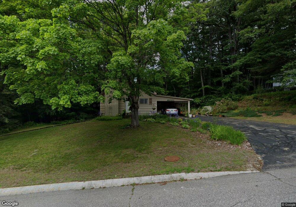
17 Independence Ave Franklin, NH 03235
Estimated Value: $309,000 - $380,000
3
Beds
2
Baths
1,334
Sq Ft
$256/Sq Ft
Est. Value
About This Home
This home is located at 17 Independence Ave, Franklin, NH 03235 and is currently estimated at $341,087, approximately $255 per square foot. 17 Independence Ave is a home located in Merrimack County with nearby schools including Paul A. Smith School, Franklin Middle School, and Franklin High School.
Ownership History
Date
Name
Owned For
Owner Type
Purchase Details
Closed on
Aug 25, 2009
Sold by
Harold B Packer Ret
Bought by
Fay Susan A
Current Estimated Value
Home Financials for this Owner
Home Financials are based on the most recent Mortgage that was taken out on this home.
Original Mortgage
$86,500
Outstanding Balance
$55,412
Interest Rate
5.19%
Mortgage Type
Purchase Money Mortgage
Estimated Equity
$285,675
Create a Home Valuation Report for This Property
The Home Valuation Report is an in-depth analysis detailing your home's value as well as a comparison with similar homes in the area
Home Values in the Area
Average Home Value in this Area
Purchase History
We collect this data history from publicly available records. To have your information removed, we recommend requesting removal directly through your county’s website.
| Date | Buyer | Sale Price | Title Company |
|---|---|---|---|
| Fay Susan A | $82,500 | -- |
Source: Public Records
Mortgage History
We collect this data history from publicly available records. To have your information removed, we recommend requesting removal directly through your county’s website.
| Date | Status | Borrower | Loan Amount |
|---|---|---|---|
| Open | Fay Susan A | $86,500 |
Source: Public Records
Tax History
| Year | Tax Paid | Tax Assessment Tax Assessment Total Assessment is a certain percentage of the fair market value that is determined by local assessors to be the total taxable value of land and additions on the property. | Land | Improvement |
|---|---|---|---|---|
| 2025 | $4,249 | $241,000 | $76,900 | $164,100 |
| 2024 | $4,133 | $241,000 | $76,900 | $164,100 |
| 2023 | $3,919 | $241,000 | $76,900 | $164,100 |
| 2022 | $3,541 | $145,200 | $63,300 | $81,900 |
| 2021 | $3,370 | $145,200 | $63,300 | $81,900 |
| 2020 | $3,316 | $145,200 | $63,300 | $81,900 |
| 2019 | $3,263 | $145,200 | $63,300 | $81,900 |
| 2018 | $3,189 | $145,200 | $63,300 | $81,900 |
| 2017 | $3,159 | $123,600 | $31,400 | $92,200 |
| 2016 | $3,118 | $123,600 | $31,400 | $92,200 |
| 2015 | $2,256 | $90,440 | $21,980 | $68,460 |
| 2011 | $3,288 | $152,800 | $35,800 | $117,000 |
Source: Public Records
Map
Nearby Homes
- 0 Rowell Dr Unit 406 5043422
- 212 Sanborn St Unit Lot 7-112
- 10 Eagle Nest Dr
- 6 Dynamic View Dr
- 3 Eagle Nest Dr
- 225 Kendall St
- 69 Cheney St
- 416 Central St
- 632 Central St
- 359 Central St Unit 3
- 84 New Hampton Rd
- 12 Piper St
- 261 N Main St
- 30 Hampshire Dr
- 43 Webster Lake Rd
- 721 Central St
- 2 Kidder Ave
- 29 Elkins St
- 24 Munroe St Unit 1&2
- 93 Calef Hill Rd
- 21 Independence Ave
- 20 Independence Ave
- 13 Independence Ave
- 14 Independence Ave
- 24 Independence Ave
- 75 Freedom Dr
- 25 Independence Ave
- 3 Constitution Ave
- 4 Washington Ave
- 31 Independence Ave
- 71 Freedom Dr
- 8 Independence Ave
- 76 Freedom Dr
- 32 Independence Ave
- 5 Washington Ave
- 6 Constitution Ave
- 69 Freedom Dr
- 72 Freedom Dr
- 36 Independence Ave
- 35 Independence Ave
Your Personal Tour Guide
Ask me questions while you tour the home.