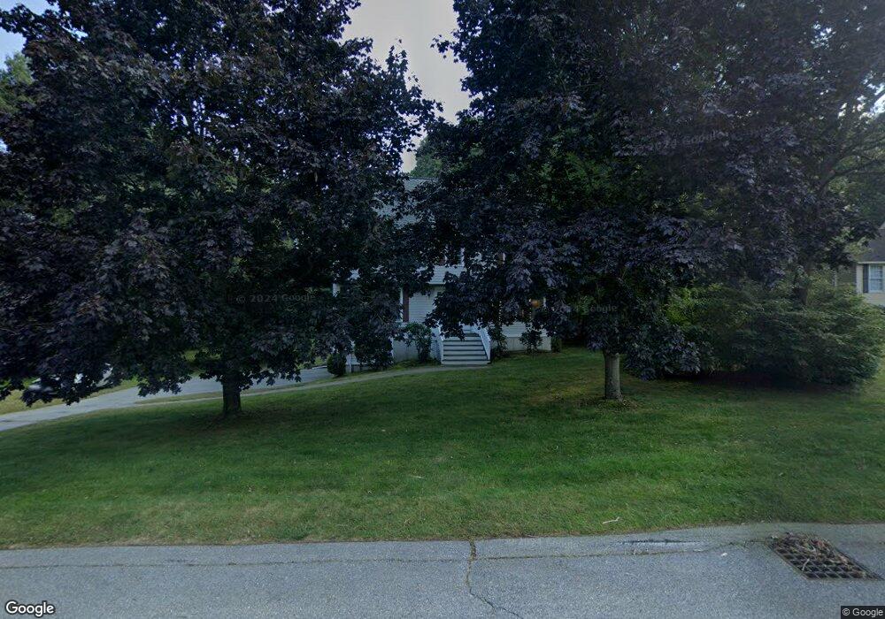
17 Iron Gate Dr Andover, MA 01810
Shawsheen Heights NeighborhoodEstimated Value: $875,513 - $1,105,000
4
Beds
3
Baths
2,411
Sq Ft
$395/Sq Ft
Est. Value
About This Home
This home is located at 17 Iron Gate Dr, Andover, MA 01810 and is currently estimated at $952,378, approximately $395 per square foot. 17 Iron Gate Dr is a home located in Essex County with nearby schools including West Elementary School, Wood Hill Middle School, and Willow River Secondary School.
Ownership History
Date
Name
Owned For
Owner Type
Purchase Details
Closed on
Aug 6, 2020
Sold by
Hansen John O and Dowd-Hansen Joyce M
Bought by
Dowd-Hansen Joyce M
Current Estimated Value
Purchase Details
Closed on
Feb 18, 1992
Sold by
Bradford Glen Inc
Bought by
Hansen John O
Create a Home Valuation Report for This Property
The Home Valuation Report is an in-depth analysis detailing your home's value as well as a comparison with similar homes in the area
Home Values in the Area
Average Home Value in this Area
Purchase History
| Date | Buyer | Sale Price | Title Company |
|---|---|---|---|
| Dowd-Hansen Joyce M | -- | None Available | |
| Hansen John O | $200,600 | -- |
Source: Public Records
Mortgage History
| Date | Status | Borrower | Loan Amount |
|---|---|---|---|
| Previous Owner | Hansen John O | $0 | |
| Previous Owner | Hansen John O | $128,000 |
Source: Public Records
Tax History Compared to Growth
Tax History
| Year | Tax Paid | Tax Assessment Tax Assessment Total Assessment is a certain percentage of the fair market value that is determined by local assessors to be the total taxable value of land and additions on the property. | Land | Improvement |
|---|---|---|---|---|
| 2024 | $9,393 | $729,300 | $391,900 | $337,400 |
| 2023 | $8,752 | $640,700 | $335,100 | $305,600 |
| 2022 | $8,395 | $575,000 | $302,000 | $273,000 |
| 2021 | $8,047 | $526,300 | $274,700 | $251,600 |
| 2020 | $7,846 | $522,700 | $274,700 | $248,000 |
| 2019 | $7,921 | $518,700 | $274,700 | $244,000 |
| 2018 | $7,693 | $491,900 | $266,800 | $225,100 |
| 2017 | $7,377 | $486,000 | $261,400 | $224,600 |
| 2016 | $7,226 | $487,600 | $261,400 | $226,200 |
| 2015 | $7,123 | $475,800 | $261,400 | $214,400 |
Source: Public Records
Map
Nearby Homes
- 29 Glenwood Dr
- 0
- 96 Beacon St
- 25 Clubview Dr Unit 25
- 13 Clubview Dr Unit 13
- 21 Clubview Dr Unit 21
- 11 Devonshire St
- 5 Marc Ln
- 37 Crenshaw Ln Unit 37
- 42 Beresford St
- 15 Beaconsfield St
- 33 Jefferson St
- 54 Amherst St
- 102 Weare St
- 11 W Hawley St
- 34 Leeds Terrace
- 5 W Kenneth St
- 10 Martingale Ln Unit 10
- 37 Tewksbury St Unit 39
- 8 Packard St
- 19 Iron Gate Dr
- 15 Iron Gate Dr
- 12 Iron Gate Dr
- 14 Iron Gate Dr
- 11 Iron Gate Dr
- 10 Iron Gate Dr
- 21 Iron Gate Dr
- 16 Iron Gate Dr
- 8 Iron Gate Dr
- 9 Iron Gate Dr
- 2 Sutton Way
- 2 Sutton Way
- 2 Sutton Way
- 2 Sutton Way Unit 2
- 23 Iron Gate Dr
- 6 Iron Gate Dr
- 1 Sutton Way
- 7 Iron Gate Dr
- 11 Southridge Cir
- 18 Paulornette Cir