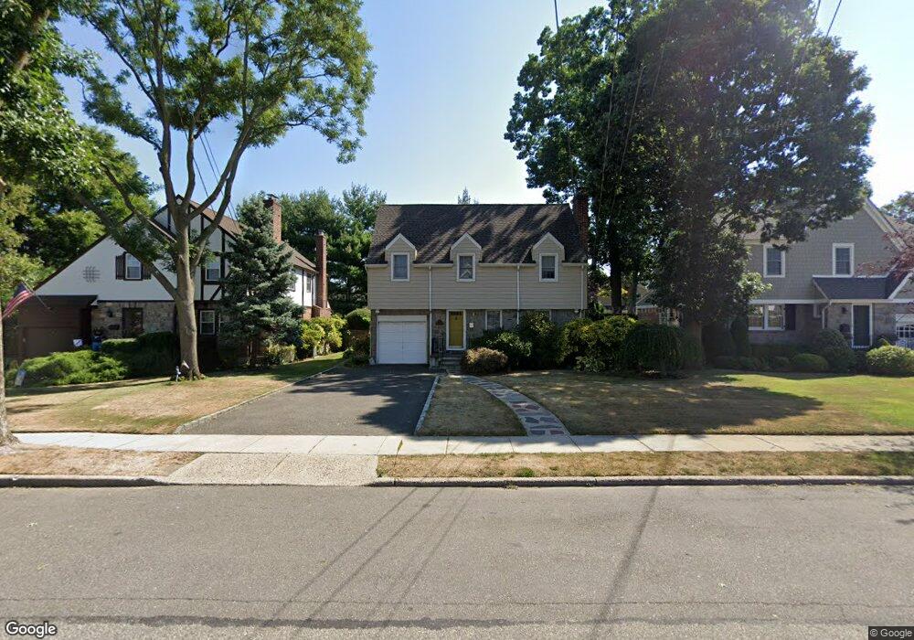
17 Kowall Place Lynbrook, NY 11563
Estimated Value: $746,866 - $795,000
--
Bed
2
Baths
1,696
Sq Ft
$455/Sq Ft
Est. Value
About This Home
This home is located at 17 Kowall Place, Lynbrook, NY 11563 and is currently estimated at $770,933, approximately $454 per square foot. 17 Kowall Place is a home located in Nassau County with nearby schools including Lynbrook Senior High School, Our Lady Of Peace School, and Our Lady of Lourdes School.
Ownership History
Date
Name
Owned For
Owner Type
Purchase Details
Closed on
Jul 6, 2011
Sold by
Vogt Mary
Bought by
Bartels George and Bartels Patricia
Current Estimated Value
Home Financials for this Owner
Home Financials are based on the most recent Mortgage that was taken out on this home.
Original Mortgage
$477,225
Outstanding Balance
$333,840
Interest Rate
4.87%
Mortgage Type
FHA
Estimated Equity
$437,093
Create a Home Valuation Report for This Property
The Home Valuation Report is an in-depth analysis detailing your home's value as well as a comparison with similar homes in the area
Home Values in the Area
Average Home Value in this Area
Purchase History
| Date | Buyer | Sale Price | Title Company |
|---|---|---|---|
| Bartels George | $525,000 | -- |
Source: Public Records
Mortgage History
| Date | Status | Borrower | Loan Amount |
|---|---|---|---|
| Open | Bartels George | $477,225 |
Source: Public Records
Tax History Compared to Growth
Tax History
| Year | Tax Paid | Tax Assessment Tax Assessment Total Assessment is a certain percentage of the fair market value that is determined by local assessors to be the total taxable value of land and additions on the property. | Land | Improvement |
|---|---|---|---|---|
| 2025 | $13,659 | $592 | $251 | $341 |
| 2024 | $1,202 | $559 | $235 | $324 |
| 2023 | $12,883 | $598 | $251 | $347 |
| 2022 | $12,883 | $598 | $251 | $347 |
| 2021 | $18,479 | $582 | $244 | $338 |
| 2020 | $10,810 | $723 | $487 | $236 |
| 2019 | $9,675 | $850 | $572 | $278 |
| 2018 | $10,663 | $850 | $0 | $0 |
| 2017 | $8,086 | $850 | $572 | $278 |
| 2016 | $9,315 | $850 | $463 | $387 |
| 2015 | $1,559 | $1,050 | $572 | $478 |
| 2014 | $1,559 | $1,050 | $572 | $478 |
| 2013 | $1,430 | $1,050 | $572 | $478 |
Source: Public Records
Map
Nearby Homes
- 237 Central Ave
- 42 Hendrickson Ave
- 29 Summit Ave
- 64 Hodson Ave
- 192 Sherman St
- 21 Clark Ave
- 90 Pearsall Ave
- 224 Kensington Rd
- 56 Whittier St
- 67 Burtis St
- 241 Hendrickson Ave
- 57 Nieman Ave
- 63 Central Ave
- 57 Carol St
- 263 Foster Ave
- 127 Hempstead Ave
- 33 Marshall Ave
- 1 Nassau Blvd
- 504 Merrick Rd Unit 4J
- 504 Merrick Rd Unit 4E
- 15 Kowall Place
- 21 Kowall Place
- 153 President St
- 149 President St
- 126 Hendrickson Ave
- 157 President St
- 183 Central Ave
- 187 Central Ave
- 145 President St
- 179 Central Ave
- 18 Kowall Place
- 22 Kowall Place
- 14 Kowall Place
- 191 Central Ave Unit 2
- 191 Central Ave
- 175 Central Ave
- 141 President St
- 195 Central Ave
- 7 Kowall Place
- 173 Central Ave