17 Lantana Ln Alton Bay, NH 03810
Estimated Value: $1,325,000 - $2,204,000
3
Beds
3
Baths
1,927
Sq Ft
$971/Sq Ft
Est. Value
About This Home
This home is located at 17 Lantana Ln, Alton Bay, NH 03810 and is currently estimated at $1,872,066, approximately $971 per square foot. 17 Lantana Ln is a home located in Belknap County with nearby schools including Alton Central School (Elem) and Prospect Mountain High School.
Ownership History
Date
Name
Owned For
Owner Type
Purchase Details
Closed on
Sep 27, 2011
Sold by
Gillespie Mary Elizabeth and Gillespie Mary E
Bought by
Hawkes Shawn M and Hawkes Denise C
Current Estimated Value
Home Financials for this Owner
Home Financials are based on the most recent Mortgage that was taken out on this home.
Original Mortgage
$520,000
Interest Rate
4.33%
Mortgage Type
Purchase Money Mortgage
Create a Home Valuation Report for This Property
The Home Valuation Report is an in-depth analysis detailing your home's value as well as a comparison with similar homes in the area
Home Values in the Area
Average Home Value in this Area
Purchase History
| Date | Buyer | Sale Price | Title Company |
|---|---|---|---|
| Hawkes Shawn M | $650,000 | -- |
Source: Public Records
Mortgage History
| Date | Status | Borrower | Loan Amount |
|---|---|---|---|
| Open | Hawkes Shawn M | $417,000 | |
| Closed | Hawkes Shawn M | $520,000 |
Source: Public Records
Tax History Compared to Growth
Tax History
| Year | Tax Paid | Tax Assessment Tax Assessment Total Assessment is a certain percentage of the fair market value that is determined by local assessors to be the total taxable value of land and additions on the property. | Land | Improvement |
|---|---|---|---|---|
| 2024 | $18,720 | $1,442,200 | $1,179,000 | $263,200 |
| 2022 | $14,351 | $1,262,200 | $999,000 | $263,200 |
| 2021 | $19,228 | $1,689,600 | $1,449,000 | $240,600 |
| 2020 | $11,844 | $849,000 | $733,200 | $115,800 |
| 2019 | $10,621 | $849,000 | $733,200 | $115,800 |
| 2018 | $11,659 | $833,400 | $733,200 | $100,200 |
| 2017 | $10,718 | $833,400 | $733,200 | $100,200 |
| 2016 | $11,082 | $783,200 | $694,800 | $88,400 |
| 2015 | $10,293 | $721,300 | $632,900 | $88,400 |
| 2014 | $9,918 | $716,100 | $618,600 | $97,500 |
| 2013 | $8,733 | $649,800 | $568,900 | $80,900 |
Source: Public Records
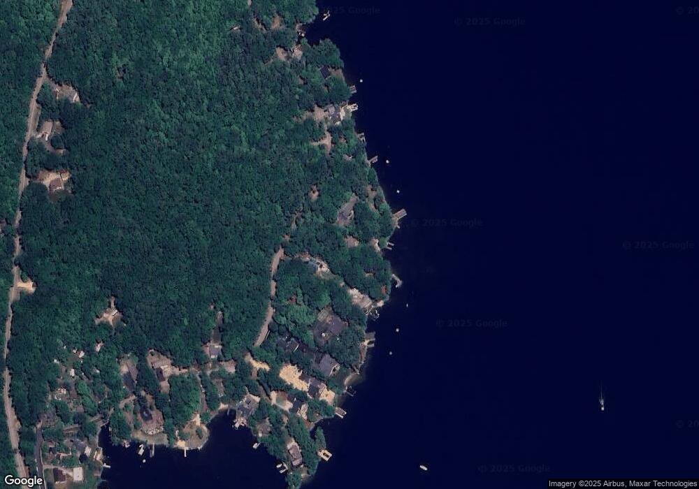
Map
Nearby Homes
- 204 Route 11-D
- Lots 134-135 Wendy Dr
- Lot 5-2-1 Jesus Valley Rd
- 72 Timber Ridge Rd
- 74 Jesus Valley Rd
- 581 E Side Dr
- 90 Jesus Valley Rd
- Lot 13 Jaytee Dr
- 1425 Mount Major Hwy
- 728 E Side Dr
- Lot 36 Mauhaut Shores Rd
- 729 Old Wolfeboro Rd
- 25 Georges Rd
- 104 Hopewell Rd
- 58 Rollins Rd
- 25 Clay Point Rd
- 29 Paddocks Dr
- 21 Richardson Dr
- 38 Spy Gold Ln
- 120 Big Barndoor Island