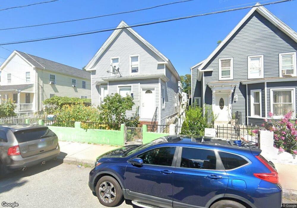
17 Lea St Lawrence, MA 01841
Arlington NeighborhoodEstimated Value: $437,000 - $490,000
3
Beds
2
Baths
1,546
Sq Ft
$302/Sq Ft
Est. Value
About This Home
This home is located at 17 Lea St, Lawrence, MA 01841 and is currently estimated at $466,142, approximately $301 per square foot. 17 Lea St is a home located in Essex County with nearby schools including Arlington Elementary School, School For Exceptional Studies, and Lawrence Family Development Charter School.
Ownership History
Date
Name
Owned For
Owner Type
Purchase Details
Closed on
Dec 21, 1988
Sold by
Dumont Francis J
Bought by
Moreau Francis J
Current Estimated Value
Purchase Details
Closed on
Feb 23, 1979
Bought by
Melo Benjamin and Melo Belia
Create a Home Valuation Report for This Property
The Home Valuation Report is an in-depth analysis detailing your home's value as well as a comparison with similar homes in the area
Home Values in the Area
Average Home Value in this Area
Purchase History
| Date | Buyer | Sale Price | Title Company |
|---|---|---|---|
| Moreau Francis J | $23,000 | -- | |
| Melo Benjamin | -- | -- |
Source: Public Records
Mortgage History
| Date | Status | Borrower | Loan Amount |
|---|---|---|---|
| Open | Melo Benjamin | $107,000 | |
| Closed | Melo Benjamin | $126,000 |
Source: Public Records
Map
Nearby Homes
- 29 Center St
- 23 Chase St
- 434-438 Hampshire St
- 27 Willow St Unit A
- 36 Manchester St
- 9-11 Horne St
- 179-181 West St
- 29-31 Washington St
- 6 Huse Rd
- 10 Holly St
- 123 Lawrence St
- 24 Railroad St
- 7-9 Bennington St
- 324-326 Broadway
- 129-131 Lexington St
- 20-22 Ashland Ave
- 97 Kenwood Rd
- 131A Lawrence St Unit 40
- 42 Morton St
- 202 Broadway Unit 3-2
Your Personal Tour Guide
Ask me questions while you tour the home.