Estimated Value: $1,008,715 - $1,229,000
4
Beds
3
Baths
2,240
Sq Ft
$505/Sq Ft
Est. Value
About This Home
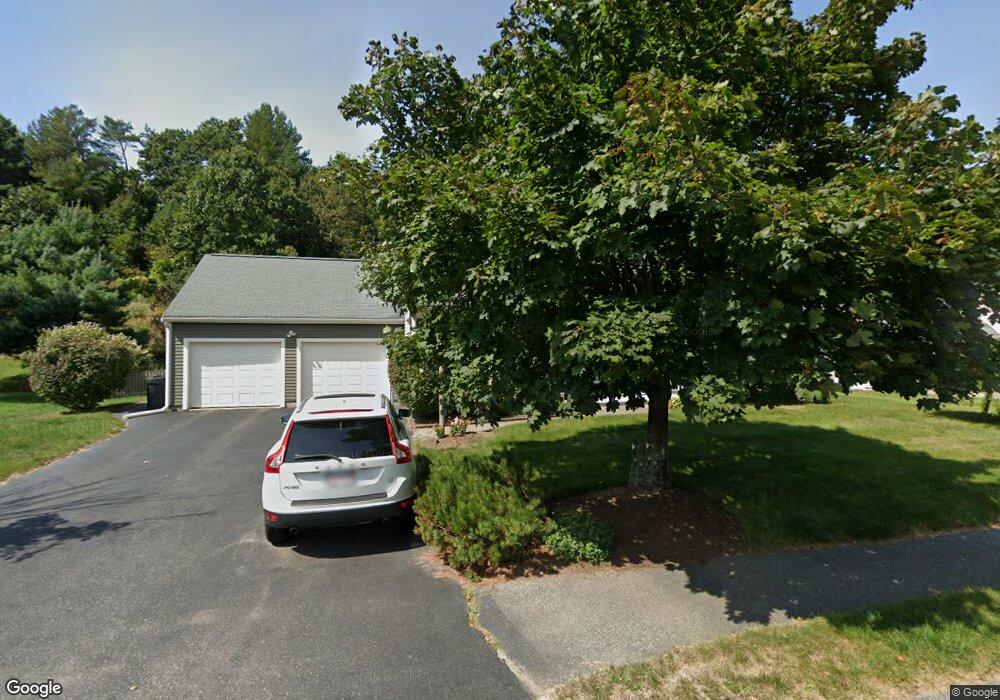
This home is located at 17 Lexington Dr, Acton, MA 01720 and is currently estimated at $1,131,179, approximately $504 per square foot. 17 Lexington Dr is a home located in Middlesex County with nearby schools including Acton-Boxborough Regional High School and Concord Academy.
Ownership History
Date
Name
Owned For
Owner Type
Purchase Details
Closed on
Apr 28, 2022
Sold by
Barbieri Patric P and Barbieri Rena M
Bought by
P & Rena Barbieri Lt
Current Estimated Value
Purchase Details
Closed on
Sep 28, 2001
Sold by
Hallice Francis X and Hallice Elaine P
Bought by
Barbieri Patric P and Barbieri Rena
Home Financials for this Owner
Home Financials are based on the most recent Mortgage that was taken out on this home.
Original Mortgage
$265,000
Interest Rate
6.91%
Mortgage Type
Purchase Money Mortgage
Create a Home Valuation Report for This Property
The Home Valuation Report is an in-depth analysis detailing your home's value as well as a comparison with similar homes in the area
Home Values in the Area
Average Home Value in this Area
Purchase History
| Date | Buyer | Sale Price | Title Company |
|---|---|---|---|
| P & Rena Barbieri Lt | -- | None Available | |
| Barbieri Patric P | $525,000 | -- |
Source: Public Records
Mortgage History
| Date | Status | Borrower | Loan Amount |
|---|---|---|---|
| Previous Owner | Barbieri Patric P | $265,000 |
Source: Public Records
Tax History Compared to Growth
Tax History
| Year | Tax Paid | Tax Assessment Tax Assessment Total Assessment is a certain percentage of the fair market value that is determined by local assessors to be the total taxable value of land and additions on the property. | Land | Improvement |
|---|---|---|---|---|
| 2025 | $15,089 | $879,800 | $305,200 | $574,600 |
| 2024 | $14,508 | $870,300 | $305,200 | $565,100 |
| 2023 | $14,171 | $807,000 | $277,500 | $529,500 |
| 2022 | $13,378 | $687,800 | $241,300 | $446,500 |
| 2021 | $13,071 | $646,100 | $223,400 | $422,700 |
| 2020 | $12,510 | $650,200 | $223,400 | $426,800 |
| 2019 | $11,851 | $611,800 | $223,400 | $388,400 |
| 2018 | $11,618 | $599,500 | $223,400 | $376,100 |
| 2017 | $11,310 | $593,400 | $223,400 | $370,000 |
| 2016 | $11,294 | $587,300 | $223,400 | $363,900 |
| 2015 | $11,175 | $586,600 | $223,400 | $363,200 |
| 2014 | $10,721 | $551,200 | $223,400 | $327,800 |
Source: Public Records
Map
Nearby Homes
- 60 Lawsbrook Rd
- 65 Summit St
- 128 Parker St Unit 3B
- 132 Parker St Unit G5
- 3 Drummer Rd Unit B3
- 37 Water St
- 27 Water St
- 1828 Main St
- 1844 Main St Unit 1844
- 66 Old Stow Rd
- 7 Concetta Cir
- 1687 Main St
- 100 Harrington Ave
- 70 River St
- 54 Maple St
- 102 Highland St
- 70 McCallar Ln
- 96 Forest Ridge Rd Unit 96
- 40 High St
- 1 Bayberry Rd
- 15 Lexington Dr
- 19 Lexington Dr
- 22 Lexington Dr
- 20 Lexington Dr
- 24 Lexington Dr
- 21 Lexington Dr
- 13 Lexington Dr
- 18 Lexington Dr
- 44 Lexington Dr
- 44 Lexington Dr Unit 44
- 46 Lexington Dr
- 23 Lexington Dr
- 16 Lexington Dr
- 40 Lexington Dr
- 28 Lexington Dr
- 43 Lexington Dr
- 50 Lexington Dr
- 45 Lexington Dr
- 41 Lexington Dr
- 25 Lexington Dr