17 Lois Ann Ct Unit 136 Scituate, MA 02066
Estimated Value: $1,650,000 - $1,994,000
2
Beds
3
Baths
2,474
Sq Ft
$740/Sq Ft
Est. Value
About This Home
This home is located at 17 Lois Ann Ct Unit 136, Scituate, MA 02066 and is currently estimated at $1,831,430, approximately $740 per square foot. 17 Lois Ann Ct Unit 136 is a home located in Plymouth County with nearby schools including Wampatuck Elementary School, Lester J. Gates Middle School, and Scituate High School.
Ownership History
Date
Name
Owned For
Owner Type
Purchase Details
Closed on
Mar 20, 2024
Sold by
Maduri Michele and Maduri Paul J
Bought by
Maduri Lt and Maduri
Current Estimated Value
Purchase Details
Closed on
Jan 4, 2021
Sold by
Toll Ma Land 3 Lp
Bought by
Maduri Paul J and Maduri Mechele
Create a Home Valuation Report for This Property
The Home Valuation Report is an in-depth analysis detailing your home's value as well as a comparison with similar homes in the area
Home Values in the Area
Average Home Value in this Area
Purchase History
| Date | Buyer | Sale Price | Title Company |
|---|---|---|---|
| Maduri Lt | -- | None Available | |
| Maduri Lt | -- | None Available | |
| Maduri Paul J | $1,091,356 | None Available | |
| Maduri Paul J | $1,091,356 | None Available |
Source: Public Records
Tax History Compared to Growth
Tax History
| Year | Tax Paid | Tax Assessment Tax Assessment Total Assessment is a certain percentage of the fair market value that is determined by local assessors to be the total taxable value of land and additions on the property. | Land | Improvement |
|---|---|---|---|---|
| 2025 | $16,356 | $1,637,200 | $0 | $1,637,200 |
| 2024 | $13,334 | $1,287,100 | $0 | $1,287,100 |
| 2023 | $13,458 | $1,143,300 | $0 | $1,143,300 |
| 2022 | $13,458 | $1,066,400 | $0 | $1,066,400 |
| 2021 | $3,322 | $249,200 | $0 | $249,200 |
Source: Public Records
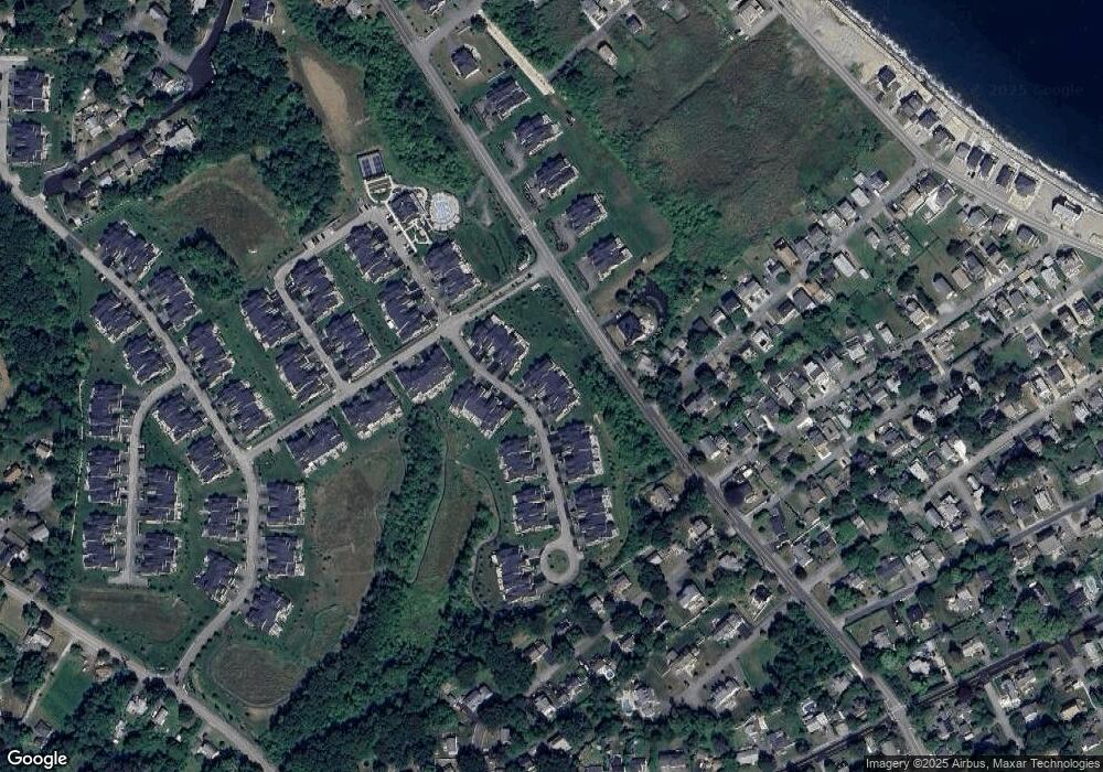
Map
Nearby Homes
- 10 Benjamin Ln Unit 10
- 86 Hatherly Rd
- 23 Oceanside Dr
- 209 Hatherly Rd
- 105 Turner Rd
- 30 Irving Rd
- 17 Bradford Ave
- 32 Barker Rd Unit 3
- 378 Tilden Rd
- 74 Tilden Rd
- 54 Woodland Rd
- 91 Front St Unit 106
- 23 Sunset Rd
- 50 First Parish Rd
- 27 Ann Vinal Rd
- 111 Elm St
- 3 Grace Way Unit 3
- 1 Grace Way Unit 1
- 27 Grace Way
- 115 Elm St
- 19 Lois Ann Ct Unit 19
- 15 Lois Ann Ct Unit 15
- 15 Lois Ann Ct Unit 137
- 23 Lois Ann Ct Unit 23
- 23 Lois Ann Ct Unit 133
- 25 Lois Ann Ct Unit 132
- 25 Lois Ann Ct Unit 138
- 6 Lois Ann Ct Unit 114
- 5 Lois Ann Ct
- 5 Lois Ann Ct Unit 5
- 3 Lois Ann Ct Unit 141
- 5 Lois Ann Ct Unit 140
- 22 Lois Ann Ct Unit 118
- 27 Lois Ann Ct Unit 131
- 24 Lois Ann Ct Unit 24
- 24 Lois Ann Ct Unit 119
- 132 Hatherly Rd
- 29 Lois Ann Ct Unit 130
- 140 Hatherly Rd
- 140 Hatherly Rd Unit lot 144