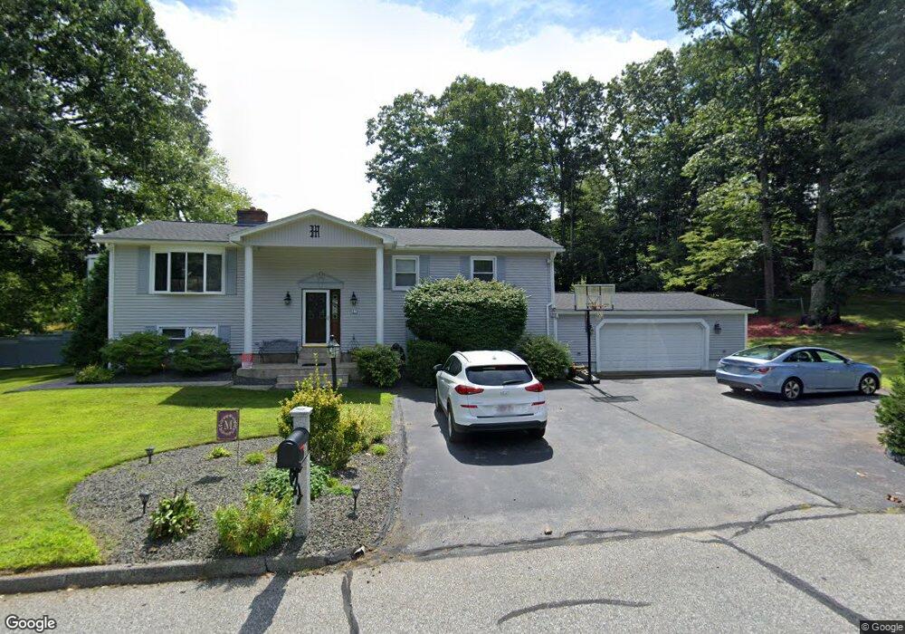
17 Mcgovern Ln Webster, MA 01570
Estimated Value: $513,090 - $1,005,000
3
Beds
3
Baths
2,704
Sq Ft
$262/Sq Ft
Est. Value
About This Home
This home is located at 17 Mcgovern Ln, Webster, MA 01570 and is currently estimated at $707,523, approximately $261 per square foot. 17 Mcgovern Ln is a home located in Worcester County with nearby schools including Park Avenue Elementary School, Webster Middle School, and Bartlett High School.
Ownership History
Date
Name
Owned For
Owner Type
Purchase Details
Closed on
Aug 1, 2012
Sold by
Pappas Sam S and Pappas Evelyn
Bought by
Mueller David E and Mueller Beth A
Current Estimated Value
Home Financials for this Owner
Home Financials are based on the most recent Mortgage that was taken out on this home.
Original Mortgage
$266,000
Outstanding Balance
$182,560
Interest Rate
3.7%
Mortgage Type
New Conventional
Estimated Equity
$524,963
Create a Home Valuation Report for This Property
The Home Valuation Report is an in-depth analysis detailing your home's value as well as a comparison with similar homes in the area
Home Values in the Area
Average Home Value in this Area
Purchase History
| Date | Buyer | Sale Price | Title Company |
|---|---|---|---|
| Mueller David E | $320,000 | -- |
Source: Public Records
Mortgage History
| Date | Status | Borrower | Loan Amount |
|---|---|---|---|
| Open | Mueller David E | $266,000 |
Source: Public Records
Tax History
| Year | Tax Paid | Tax Assessment Tax Assessment Total Assessment is a certain percentage of the fair market value that is determined by local assessors to be the total taxable value of land and additions on the property. | Land | Improvement |
|---|---|---|---|---|
| 2025 | $5,588 | $470,400 | $68,100 | $402,300 |
| 2024 | $5,572 | $457,500 | $65,500 | $392,000 |
| 2023 | $5,151 | $412,100 | $62,400 | $349,700 |
| 2022 | $5,196 | $372,200 | $60,600 | $311,600 |
| 2021 | $5,170 | $342,400 | $60,600 | $281,800 |
| 2020 | $5,036 | $334,400 | $60,600 | $273,800 |
| 2019 | $4,702 | $306,700 | $60,600 | $246,100 |
| 2018 | $4,500 | $292,400 | $60,600 | $231,800 |
| 2017 | $4,146 | $274,000 | $59,300 | $214,700 |
| 2016 | $4,026 | $265,900 | $59,300 | $206,600 |
| 2015 | $3,834 | $261,200 | $66,500 | $194,700 |
Source: Public Records
Map
Nearby Homes
- 53-55 Point Pleasant Rd
- 0 Thompson Rd
- 13 S Point Rd
- 27 Ash St
- 26 Stephen Dr
- 38 Colonial Rd
- 36 Lake Pkwy
- 125 Birch Island Rd
- 10 Indian Point Rd
- 00 Juniper Ln
- 51 &52 lot Oscar Rd
- 306 Beacon Park
- 26 Wakefield Ave
- 0 Porter Plain Rd
- 24 Cooper Rd
- 95 Lake St
- 30 Valley St
- 17 Mount Pleasant St
- 0 Wilsonville Rd Unit 24140220
- 23 Lakeview Rd