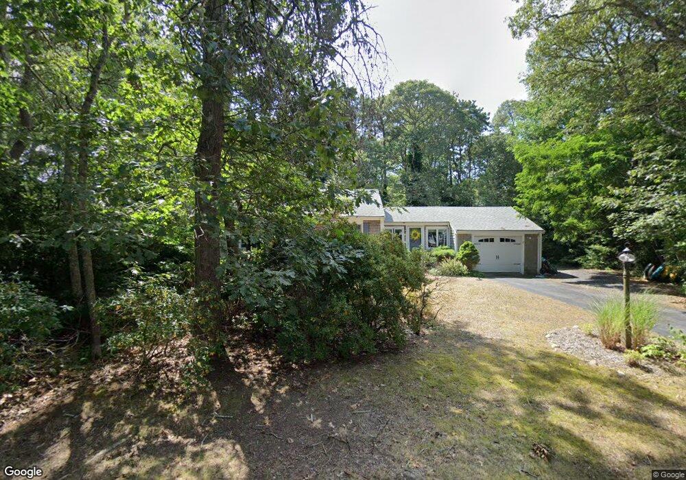
17 Meadow Glen Ln Brewster, MA 02631
Estimated Value: $690,119 - $779,000
3
Beds
2
Baths
1,264
Sq Ft
$587/Sq Ft
Est. Value
About This Home
This home is located at 17 Meadow Glen Ln, Brewster, MA 02631 and is currently estimated at $741,780, approximately $586 per square foot. 17 Meadow Glen Ln is a home located in Barnstable County with nearby schools including Nauset Regional Middle School, Nauset Regional High School, and Latham School.
Ownership History
Date
Name
Owned For
Owner Type
Purchase Details
Closed on
Apr 26, 2016
Sold by
Mcmahon Leslie A
Bought by
Mcmahon Ft
Current Estimated Value
Purchase Details
Closed on
Feb 25, 2004
Sold by
Mcmahon Donald A and Mcmahon Leslie A
Bought by
Mcmahon Leslie A
Purchase Details
Closed on
Jul 31, 1984
Bought by
Mcmahon Ft
Create a Home Valuation Report for This Property
The Home Valuation Report is an in-depth analysis detailing your home's value as well as a comparison with similar homes in the area
Home Values in the Area
Average Home Value in this Area
Purchase History
| Date | Buyer | Sale Price | Title Company |
|---|---|---|---|
| Mcmahon Ft | -- | -- | |
| Mcmahon Leslie A | -- | -- | |
| Mcmahon Ft | -- | -- |
Source: Public Records
Mortgage History
| Date | Status | Borrower | Loan Amount |
|---|---|---|---|
| Previous Owner | Mcmahon Ft | $60,000 |
Source: Public Records
Tax History Compared to Growth
Tax History
| Year | Tax Paid | Tax Assessment Tax Assessment Total Assessment is a certain percentage of the fair market value that is determined by local assessors to be the total taxable value of land and additions on the property. | Land | Improvement |
|---|---|---|---|---|
| 2025 | $4,149 | $603,000 | $255,000 | $348,000 |
| 2024 | $4,019 | $590,200 | $261,500 | $328,700 |
| 2023 | $3,714 | $531,400 | $233,400 | $298,000 |
| 2022 | $3,485 | $443,900 | $194,500 | $249,400 |
| 2021 | $3,344 | $389,700 | $169,100 | $220,600 |
| 2020 | $1,477 | $365,700 | $155,500 | $210,200 |
| 2019 | $0 | $352,200 | $143,100 | $209,100 |
| 2018 | $2,841 | $343,900 | $143,100 | $200,800 |
| 2017 | $2,688 | $320,400 | $143,100 | $177,300 |
| 2016 | $2,543 | $301,700 | $127,600 | $174,100 |
| 2015 | $2,455 | $297,200 | $125,000 | $172,200 |
Source: Public Records
Map
Nearby Homes
- 27 Meadow Glen Ln
- 148 Brook Trail Rd
- 18 Surrey Ln
- 34 Surrey Ln
- 170 Brook Trail Rd
- 24 Meadow Glen Ln
- 10 Meadow Glen Ln
- 219 Pine Bluff Rd
- 29 Brook Trail Rd
- 46 Surrey Ln
- 147 Brook Trail Rd
- 157 Brook Trail Rd
- 171 Brook Trail Rd
- 135 Brook Trail Rd
- 9 Beachwood Dr
- 203 Pine Bluff Rd
- 19 Driftwood Ln
- 15 Surrey Ln
- 43 Surrey Ln
- 127 Brook Trail Rd