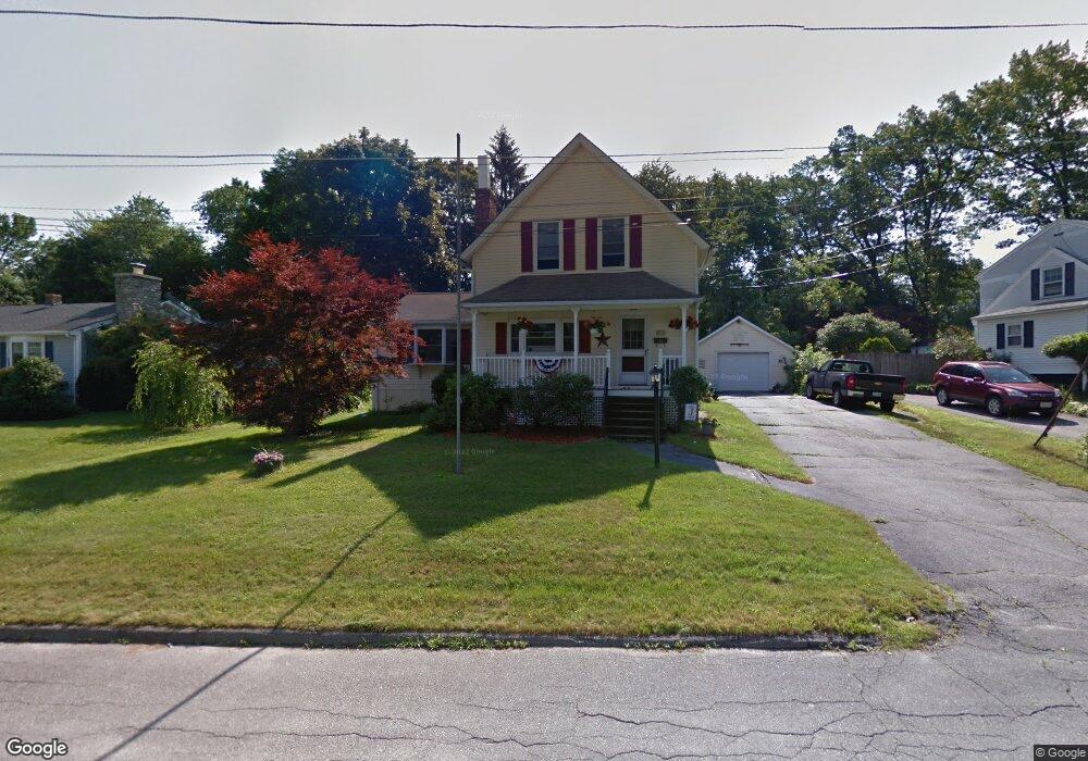
17 Mohawk Ave Auburn, MA 01501
Stoneville NeighborhoodEstimated Value: $414,275 - $451,000
4
Beds
2
Baths
1,610
Sq Ft
$268/Sq Ft
Est. Value
About This Home
This home is located at 17 Mohawk Ave, Auburn, MA 01501 and is currently estimated at $430,819, approximately $267 per square foot. 17 Mohawk Ave is a home located in Worcester County with nearby schools including Auburn Senior High School and Shrewsbury Montessori School - Auburn Campus.
Ownership History
Date
Name
Owned For
Owner Type
Purchase Details
Closed on
Nov 22, 2022
Sold by
Johnson Lisa D
Bought by
Lisa D Johnson Rt 2022
Current Estimated Value
Purchase Details
Closed on
Jul 21, 1995
Sold by
Dumais Carolyn
Bought by
Johnson Richard A and Johnson Lisa
Create a Home Valuation Report for This Property
The Home Valuation Report is an in-depth analysis detailing your home's value as well as a comparison with similar homes in the area
Home Values in the Area
Average Home Value in this Area
Purchase History
| Date | Buyer | Sale Price | Title Company |
|---|---|---|---|
| Lisa D Johnson Rt 2022 | -- | None Available | |
| Johnson Richard A | $109,000 | -- |
Source: Public Records
Mortgage History
| Date | Status | Borrower | Loan Amount |
|---|---|---|---|
| Previous Owner | Johnson Richard A | $30,000 | |
| Previous Owner | Johnson Richard A | $22,000 |
Source: Public Records
Tax History
| Year | Tax Paid | Tax Assessment Tax Assessment Total Assessment is a certain percentage of the fair market value that is determined by local assessors to be the total taxable value of land and additions on the property. | Land | Improvement |
|---|---|---|---|---|
| 2025 | $49 | $345,900 | $108,800 | $237,100 |
| 2024 | $4,885 | $327,200 | $103,600 | $223,600 |
| 2023 | $4,853 | $305,600 | $94,100 | $211,500 |
| 2022 | $4,582 | $272,400 | $94,100 | $178,300 |
| 2021 | $4,199 | $231,500 | $83,100 | $148,400 |
| 2020 | $4,013 | $223,200 | $83,100 | $140,100 |
| 2019 | $87 | $212,600 | $77,900 | $134,700 |
| 2018 | $3,723 | $201,900 | $72,800 | $129,100 |
| 2017 | $151 | $192,200 | $66,100 | $126,100 |
| 2016 | $3,345 | $184,900 | $69,300 | $115,600 |
| 2015 | $3,124 | $181,000 | $69,300 | $111,700 |
| 2014 | $3,043 | $176,000 | $66,000 | $110,000 |
Source: Public Records
Map
Nearby Homes
- 99 Clover St
- 27 Havana Rd
- 35 Genessee St Unit E
- 5 Commonwealth Ave
- 11 Hulbert Rd Unit 13
- 315 Stafford St
- 25 Vinal St Unit 28
- 25 Vinal St Unit 26
- 25 Vinal St Unit 29
- 25 Vinal St Unit 30
- 103 Henshaw St
- 177 Oxford St N
- 55 Grandview Ave
- 19-20 Williams St
- 26 Sylvan St
- 13 Merchant St
- 32 Goddard Memorial Dr
- 1511 Main St Unit C405
- 1-9 Helens Way
- 40 Bryn Mawr Ave
Your Personal Tour Guide
Ask me questions while you tour the home.